- Úterý (Plzeň-North District)
Geobox | Settlement
name = Úterý
other_name =
category = Town
image_caption =
symbol = Úterý_znak.png
official_name =
motto =
nickname =
country = Czech Republic
country_
state =
region = Plzeň
region_type = Region
district = Plzeň-North
district_type = District
commune = Nýřany
municipality = Všeruby
part =
river = Úterský potok
location =
elevation = 485
lat_d = 49
lat_m = 56
lat_s = 26
lat_NS = N
long_d = 13
long_m = 00
long_s = 09
long_EW = E
highest =
highest_elevation =
highest_lat_d =
highest_long_d =
lowest =
lowest_elevation =
lowest_lat_d =
lowest_long_d =
area = 25.93
area_round = 2
population = 442
population_date = 2006
population_density = auto
established = 1233
established_type = First mentioned
mayor = Miloš Říha
timezone = CET
utc_offset = +1
timezone_DST = CEST
utc_offset_DST = +2
postal_code = 330 40
area_code =
code =
free =

map_background = Czechia - background map.png
map_locator = Czechia
commons = Úterý
statistics = [http://www.statnisprava.cz/ebe/ciselniky.nsf/i/559571 statnisprava.cz]
website = [http://www.obecni-urad.net/source/index.php?ID/ www.obecni-urad.net/source/index.php?ID]
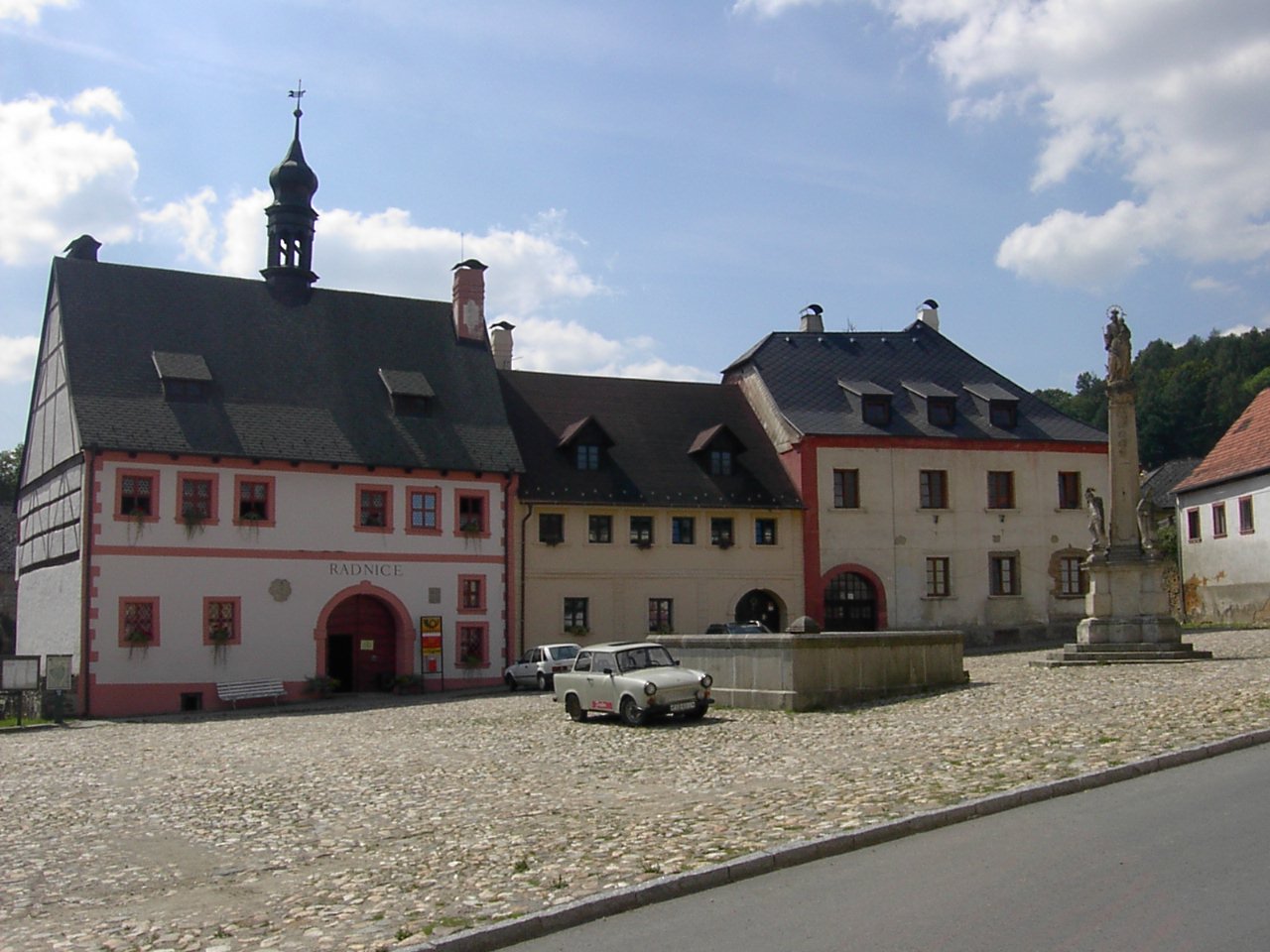
footnotes =Úterý ( _de. Neumarkt) is a town in the
Czech Republic .External links
* [http://www.obecni-urad.net/source/index.php?ID/ Municipal website]


Wikimedia Foundation. 2010.