- Sandgerði
Infobox City
official_name = Sandgerðisbær, Iceland
image_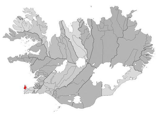
mapsize = 300px
map_caption =Location ofSandgerði ,Iceland (left/center)
subdivision_type = Constituency
subdivision_name = South
area_magnitude =
area_total_sq_mi =
area_total_km2 = 62
population_as_of = 2007
population_total =1,723
population_urban =
population_metro =
population_density_km2 = 27.79
population_density_sq_mi =
latd=64 |latm=02 |latNS=N
longd=22 |longm=42 |longEW=W
website = http://www.sandgerdi.is/
footnotes = Postal Code: 245Sandgerðisbær (formerly Miðneshreppur) is an Icelandic municipality located in southwestern Iceland on the
Reykjanes peninsula. The land area of Sandgerðisbær is 62 km² (23.9 sq mi) and covers the entire western coast ofMiðnes (Rosmhvalanes) north fromGarðskagi toÓsabotnar in the south. Inland the land area of Sandgerðisbær streches into the international airport atKeflavíkurflugvöllur with the air terminal within the municipal boundaries. As of the December 1st, 2007 census, Sandgerðisbær had a population of 1,723 and was the 26th most populated municipality in Iceland. [http://hagstofa.is/?PageID=624&src=/temp/Dialog/varval.asp?ma=MAN02001%26ti=Mannfj%F6ldi+eftir+sveitarf%E9lagi%2C+kyni+og+aldri+1%2E+jan%FAar+1998%2D2008++%26path=../Database/mannfjoldi/Sveitarfelog/%26lang=3%26units=Fjöldi] .Geography
History
Politics
Economy
Sites of interest
External links
* [http://www.sandgerdi.is/ Sandgerði official site]
Wikimedia Foundation. 2010.