- Fljótsdalshérað
Infobox City
official_name = Fljótsdalshérað, Iceland
image_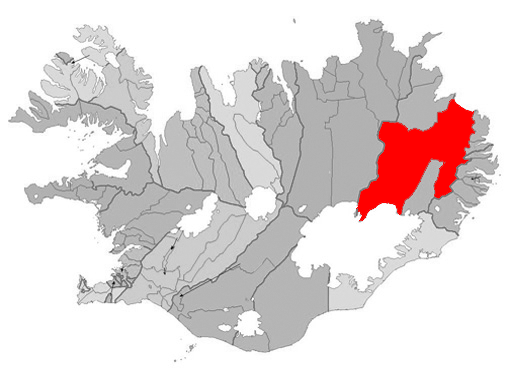
mapsize = 300px
map_caption =Location ofFljótsdalshérað ,Iceland (left/center)
subdivision_type = Constituency
subdivision_name = Northeast
area_magnitude =
area_total_sq_mi =
area_total_km2 = 8884
population_as_of = 2008
population_total =4033
population_urban =
population_metro =
population_density_km2 = 0.4
population_density_sq_mi =
website = http://www.fljotsdalsherad.is/
footnotes = Postal Codes: 700-701Fljótsdalshérað is a municipality located in
eastern Iceland . As ofApril 1 ,2008 , it had a total population of 4033. At 8884 km², it is the largest municipality in the country in area. The biggest town in the municipality isEgilsstaðir , with a population of 2300.The wild reindeers of Iceland are situated in Fljótsdalshérað, they have a number of 5000 - 10,000. The biggest forest in Iceland,
Hallormstaðarskógur is also located in Fljótsdalshérað.
Wikimedia Foundation. 2010.