- Kemise
Infobox Settlement
official_name = Kemise
other_name =
native_name =
nickname =
settlement_type =
motto =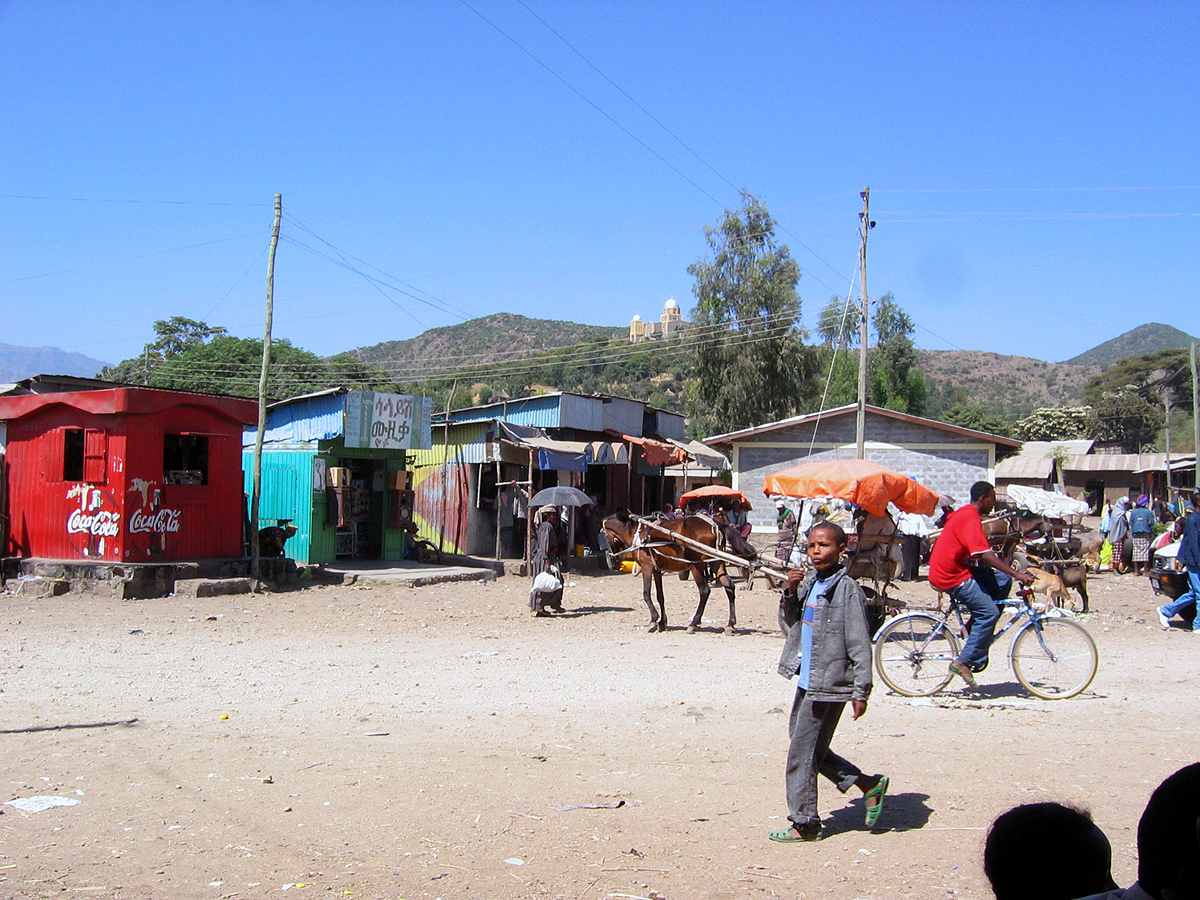
imagesize = 300px
image_caption = Some shops in Kemise, opposite the bus terminal
flag_size =
image_
seal_size =
image_shield =
shield_size =
city_logo =
citylogo_size =
mapsize =
map_caption =
mapsize1 =
map_caption1 =
image_dot_
dot_mapsize =
dot_map_caption =
dot_x = |dot_y =
pushpin_
pushpin_label_position = bottom
pushpin_map_caption = Location within Ethiopia
pushpin_mapsize =
subdivision_type = Country
subdivision_name =Ethiopia
subdivision_type1 = Region
subdivision_name1 = Amhara
subdivision_type2 = Zone
subdivision_name2 =Oromia Zone
subdivision_type3 =
subdivision_name3 =
subdivision_type4 =
subdivision_name4 =
government_footnotes =
government_type =
leader_title =
leader_name =
leader_title1 =
leader_name1 =
leader_title2 =
leader_name2 =
leader_title3 =
leader_name3 =
leader_title4 =
leader_name4 =
established_title =
established_date =
established_title2 =
established_date2 =
established_title3 =
established_date3 =
area_magnitude =
unit_pref =
area_footnotes =
area_total_km2 =
area_land_km2 =
area_water_km2 =
area_total_sq_mi =
area_land_sq_mi =
area_water_sq_mi =
area_water_percent =
area_urban_km2 =
area_urban_sq_mi =
area_metro_km2 =
area_metro_sq_mi =
population_as_of = 2005
population_footnotes =
population_note =
population_total = 18,897
population_density_km2 =
population_density_sq_mi =
population_metro =
population_density_metro_km2 =
population_density_metro_sq_mi =
population_urban =
population_density_urban_km2 =
population_density_urban_sq_mi =
population_blank1_title =
population_blank1 =
population_density_blank1_km2 =
population_density_blank1_sq_mi =
timezone = EAT
utc_offset = +3
timezone_DST =
utc_offset_DST =
latd=10 |latm=43 |latNS=N
longd=39 |longm=30 |longEW=E
elevation_footnotes =
elevation_m = 1424
elevation_ft =
postal_code_type =
postal_code =
area_code =
blank_name =
blank_info =
blank1_name =
blank1_info =
website =
footnotes =Kemise (also known as Kascim) is a town in northeastern
Ethiopia . Located in theOromia Zone of theAmhara Region , this town has a longitude and latitude of coord|10|43|N|39|30|E with an elevation of 1424 meters above sea level.Around Kemise are three villages with
mosque s, reachable only by footpaths: Dewe Rahmedo, about 20 km from Kemise; Shonkey, 23 km away; and about 12 km south of Kemise there is a footpath to the east, after another 5 km arrives at Tiru Sina. There are allegedly Muslim monasteries for men and women around this town, with their members living in round huts distributed in the landscape, separated from each other in the same way as Christian monks and nuns. [ [http://130.238.24.99/library/resources/dossiers/local_history_of_ethiopia/k/ORTKEM.pdf "Local History in Ethiopia"] (pdf) The Nordic Africa Institute website (accessed 17 December 2007)]Based on figures from the Central Statistical Agency in 2005, Kemise has an estimated total population of 18,897 of whom 10,151 were males and 8,746 were females. [ [http://www.csa.gov.et/text_files/2005_national_statistics.htm CSA 2005 National Statistics] , Table B.4] The 1994 census reported this town had a total population of 10,822 of whom 5,341 were males and 5,481 were females. It is the larger of two towns in
Chefe Golana Dewerahmedo woreda .Notes

Wikimedia Foundation. 2010.