- Nave Island
-
Nave Island Location 
 Nave Island
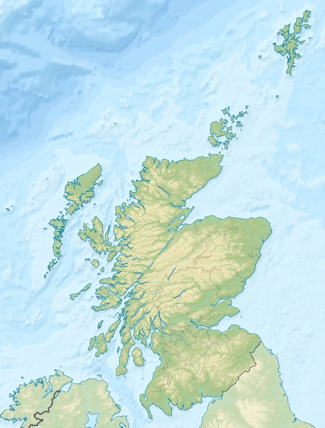
Nave Island shown within Scotland OS grid reference NR292759 Area and summit Area 37 hectares (0.14 sq mi) Highest elevation 34 metres (112 ft) Population Population 0 Groupings Island group Islay Local Authority Argyll and Bute 

References [1] If shown, area and population ranks are for all Scottish islands and all inhabited Scottish islands respectively. Population data is from 2001 census. Not to be confused with Neave Island off the north of Sutherland.Nave Island is to the north of Islay at the mouth of Loch Gruinart in the Inner Hebrides.[2] It is uninhabited.
 Nave Island from Ardmore, the ruined chapel on the left
The highest point on Nave Island is 34 metres (112 ft) above sea level.
History
As its name implies, the island has an ecclesiastical connection, probably dating back to the time of the Culdees.
References
- ^ Ordnance Survey
- ^ "Nave Island". Gazetteer for Scotland. http://www.scottish-places.info/features/featurefirst1592.html. Retrieved 22 November 2009.
Categories:- Islay
- Islands of the Inner Hebrides
- Argyll and Bute geography stubs

Wikimedia Foundation. 2010.