- Farafenni
Infobox Settlement
official_name =PAGENAME
other_name =
native_name =
nickname =
settlement_type =
motto =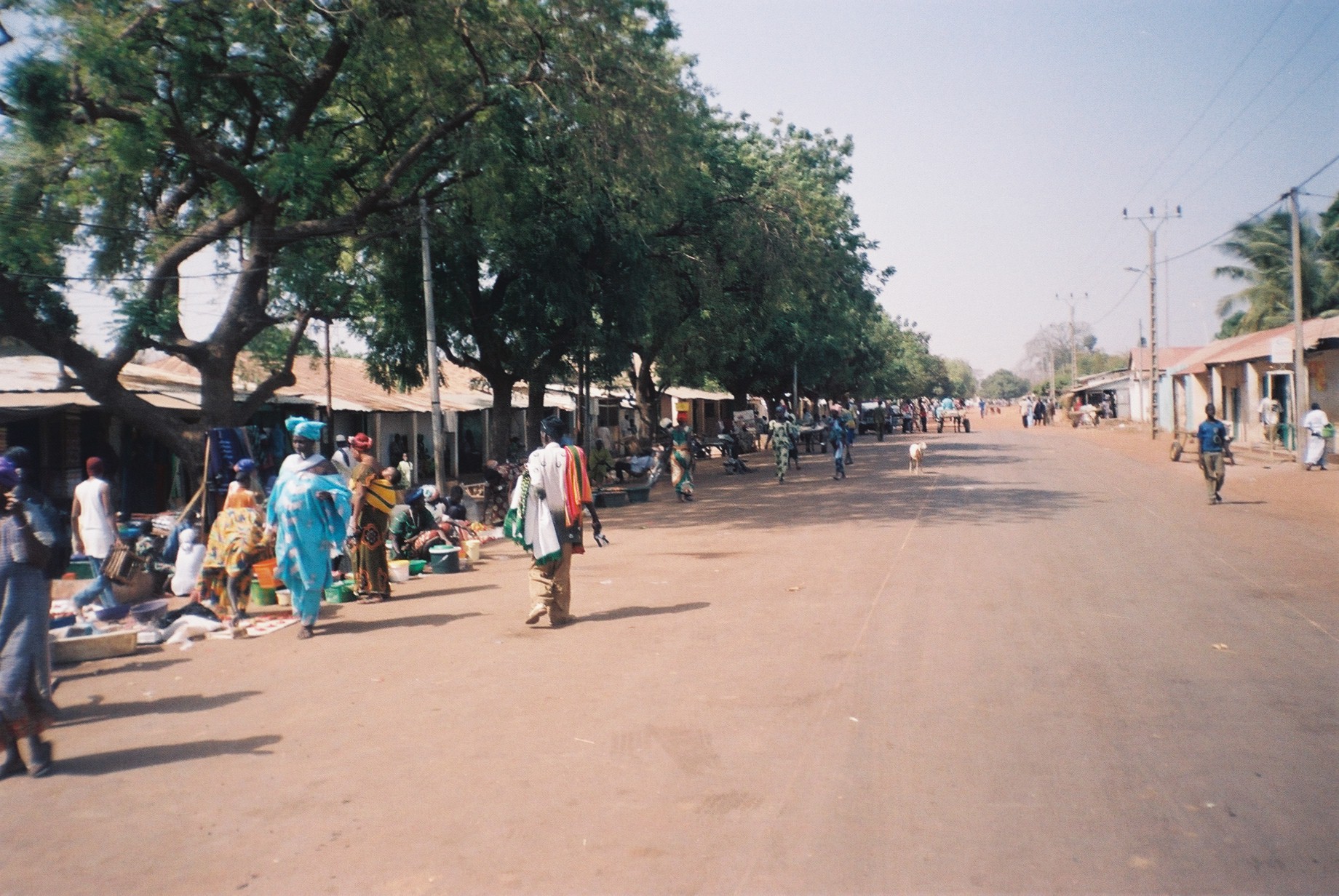
imagesize = 300px
image_caption = The main street in Farafenni
flag_size =
image_
seal_size =
image_shield =
shield_size =
image_blank_emblem =
blank_emblem_type =
blank_emblem_size =
mapsize =
map_caption =
mapsize1 =
map_caption1 =
image_dot_
dot_mapsize =
dot_map_caption =
dot_x = |dot_y =
pushpin_
pushpin_label_position =bottom
pushpin_map_caption =Location in The Gambia
subdivision_type = Country
subdivision_name =The Gambia
subdivision_type1 = Division
subdivision_name1 =North Bank Division
subdivision_type2 = District
subdivision_name2 =
subdivision_type3 =
subdivision_name3 =
subdivision_type4 =
subdivision_name4 =
government_footnotes =
government_type =
leader_title =
leader_name =
leader_title1 =
leader_name1 =
leader_title2 =
leader_name2 =
leader_title3 =
leader_name3 =
leader_title4 =
leader_name4 =
established_title =
established_date =
established_title2 =
established_date2 =
established_title3 =
established_date3 =
area_magnitude =
unit_pref =Imperial
area_footnotes =
area_total_km2 =
area_land_km2 =
area_water_km2 =
area_total_sq_mi =
area_land_sq_mi =
area_water_sq_mi =
area_water_percent =
area_urban_km2 =
area_urban_sq_mi =
area_metro_km2 =
area_metro_sq_mi =
area_blank1_title =
area_blank1_km2 =
area_blank1_sq_mi =
population_as_of =
population_footnotes =
population_note =
population_total =
population_density_km2 =
population_density_sq_mi =
population_metro =
population_density_metro_km2 =
population_density_metro_sq_mi =
population_urban =
population_density_urban_km2 =
population_density_urban_sq_mi =
population_blank1_title =Ethnicities
population_blank1 =
population_blank2_title =Religions
population_blank2 =
population_density_blank1_km2 =
population_density_blank1_sq_mi =
timezone =
utc_offset =
timezone_DST =
utc_offset_DST =
latd=13|latm=34|lats= |latNS=N
longd=15|longm=36|longs=|longEW=W
elevation_footnotes =
elevation_m =
elevation_ft =
postal_code_type =
postal_code =
area_code =
blank_name =
blank_info =
blank1_name =
blank1_info =
website =
footnotes =Farafenni is a town in
The Gambia , lying on theTrans-Gambia Highway in theNorth Bank Division , just south of the border withSenegal . It is an importantmarket town .The population of Farafenni is around 30,000 and the main local language is Wolof, although Mandinka, Fula and other languages are also fairly common.
Farafenni is the site of a recently built hospital and also contains a large military base which got attacked in 1995 by half-a-dozen men later claiming to be Sanyang's collaborators.
It is sometimes called Chakubanta or faracity.
There is only one senior secondary school, called: Farafenni Senior Secondary School; two junior Secondary: Farafenni Junior Secondary School, and Angelican Junior Secondary School. Both located in the Outskirt of the town; and two primary Schools, namely: Farafenni Lower Basic School, and Mauritani Lower Basic School. Farafenni Lower Basic School is sponsored by
John Cabot CTC inBristol ,UK .Farafenni is a commercial town, were transactions are carried out in various commercial sectors. It has one big market situated opposite Farafenni Gamtel, and nearby there are shops and a small market on Kerewan Highway. Both markets serve the needs of the inhabitants. There is also a weekly market called "lumo". The lumo place is located at the outskirts of the town, adjacent to the Farafenni Mini Stadium.
References

Wikimedia Foundation. 2010.