- Wetlina
Infobox Settlement
official_name = Wetlina
other_name =
native_name =
nickname =
settlement_type =
motto =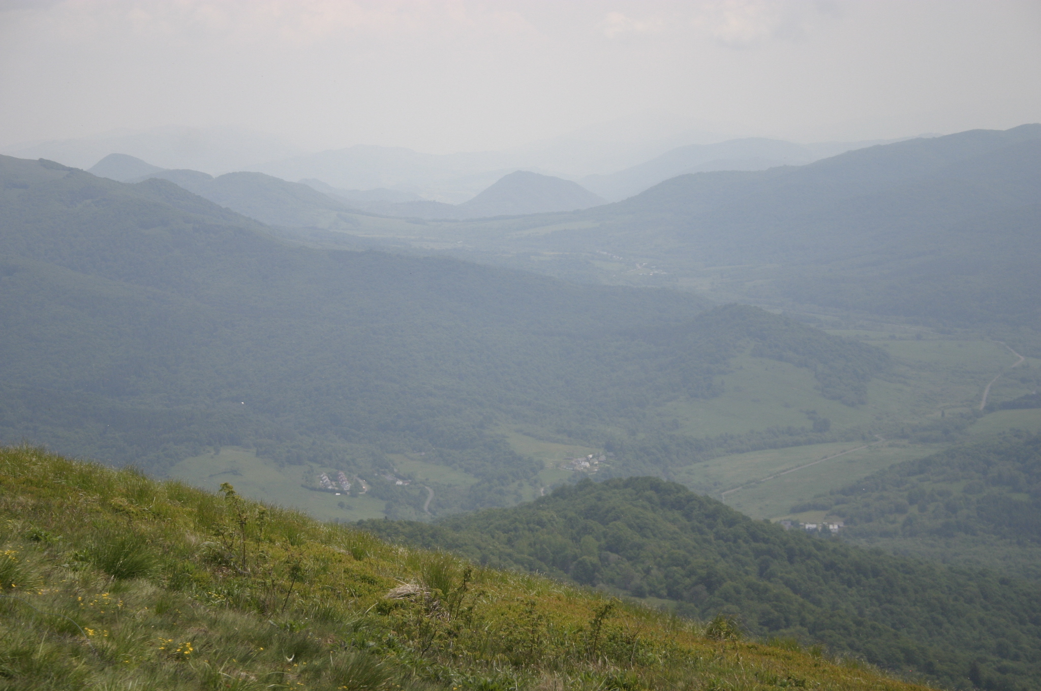
imagesize =
image_caption =
flag_size =
image_
seal_size =
image_shield =
shield_size =
image_blank_emblem =
blank_emblem_type =
blank_emblem_size =
mapsize =
map_caption =
mapsize1 =
map_caption1 =
image_dot_
dot_mapsize =
dot_map_caption =
dot_x = |dot_y =
pushpin_
pushpin_label_position = bottom
pushpin_map_caption =
pushpin_mapsize =
subdivision_type = Country
subdivision_name =Poland
subdivision_type1 =Voivodeship
subdivision_name1 = Subcarpathian
subdivision_type2 = Powiat
subdivision_name2 =Lesko County
subdivision_type3 =Gmina
subdivision_name3 =Gmina Cisna
subdivision_type4 =
subdivision_name4 =
government_footnotes =
government_type =
leader_title =
leader_name =
leader_title1 =
leader_name1 =
established_title =
established_date =
established_title2 =
established_date2 =
area_magnitude =
unit_pref =
area_footnotes =
area_total_km2 =
area_land_km2 =
area_water_km2 =
area_total_sq_mi =
area_land_sq_mi =
area_water_sq_mi =
area_water_percent =
population_as_of = 2004
population_footnotes =
population_note =
population_total = 307
population_density_km2 =
population_density_sq_mi =
population_metro =
timezone = CET
utc_offset = +1
timezone_DST = CEST
utc_offset_DST = +2
latd=49 |latm=09 |lats=27 |latNS= N
longd=22 |longm=28 |longs=01 |longEW= E
elevation_footnotes =
elevation_m =
elevation_ft =
postal_code_type = Postal Code
postal_code = 38-608
area_code = (+48) 13
blank_name = Car Plates
blank_info = RLS
blank1_name =
blank1_info =
website =
footnotes =Wetlina IPA-pl| [|w|e|'|t|l|i|n|a|] is a village with a population of 307 (in 2004) located in south-eastern Poland in the
Subcarpathian Voivodeship . It is near the entrance toBieszczady National Park and is situated along the Wetlinka river.History
Vetlyna was first mentioned as a populated village in the year 1580, organized under Wallachian Law. In 1880 there were 115 homes listed in the local census. The majority of the population ascribed to the Greek Catholic faith.
Boykos montagnards were the primary inhabitants of the area until 1945. Following battles between theUkrainian Insurgent Army and the Peoples' Army of Poland, the area was completely depopulated. It was resettled during the 1950s and 1960s with forestry workers andFranciscan Friars.On June 7, 1946, the Polish Army entered the village under operation named "Vistula." "Operation Vistula" was set forth to purge partisans from the region. The partisans had been living in the forests and mountains, and continued to harass and agitate the Poland authorities in their fight for political autonomy. It was believed that the villagers were supporting the partisans with food and supplies. The Poland Army gave the residents one hour to pack up their belongings, loaded them on trucks and deported ("resettled") the residents to distant villages in northern Poland and Ukraine. The Army set fire to all the citizens remaining possessions, including houses, barns and haystacks. They wanted nothing to remain for the partisans. Several citizens died in the deportation and only two or three families from the village were allowed to resettle in the same place. No one was allowed to resettle in the area until 1958, at which time, the Poland government only allowed ethnic Polish to settle in the region.
The foundations of the largest
Cerkiew (Eastern Rite Church), Church of Christ the King (Greek Catholic) in the area is found in the village. The church was destroyed by fire in 1946 and the foundation dynamited by the Polish Army in 1950. Adjacent to the ruins, the Miłosierdzia BożegoRoman Catholic Church was built in the early 1980s.Population
The population of the area and the village for the years 1881-2004 is listed below.
Geography and Location
The village is located near the source (springs) of the Weltinka river, a primary tributary of the
Solinka river. South and west of the village are the Sękowa (1022 m) and Paprotna (1193 m) mountain peaks. East of the village are the range peaks of Połonina Wetlińska, with a maximum elevation of 1253 m.Tourism
Wetlina is shares in the tourism of the Bieszczady Mountain area. Trips to
L'viv , festivals, and hiking are popular activities.External links
* [http://www.iabsi.com/gen/public/settlements/PL_wetlina_poland.htm Wetlina History and Photographs (iabsi)]
* [http://www.lemko.org/general.html OPERACJA "WISŁA" - OPERATION code-named "VISTULA"]

Wikimedia Foundation. 2010.