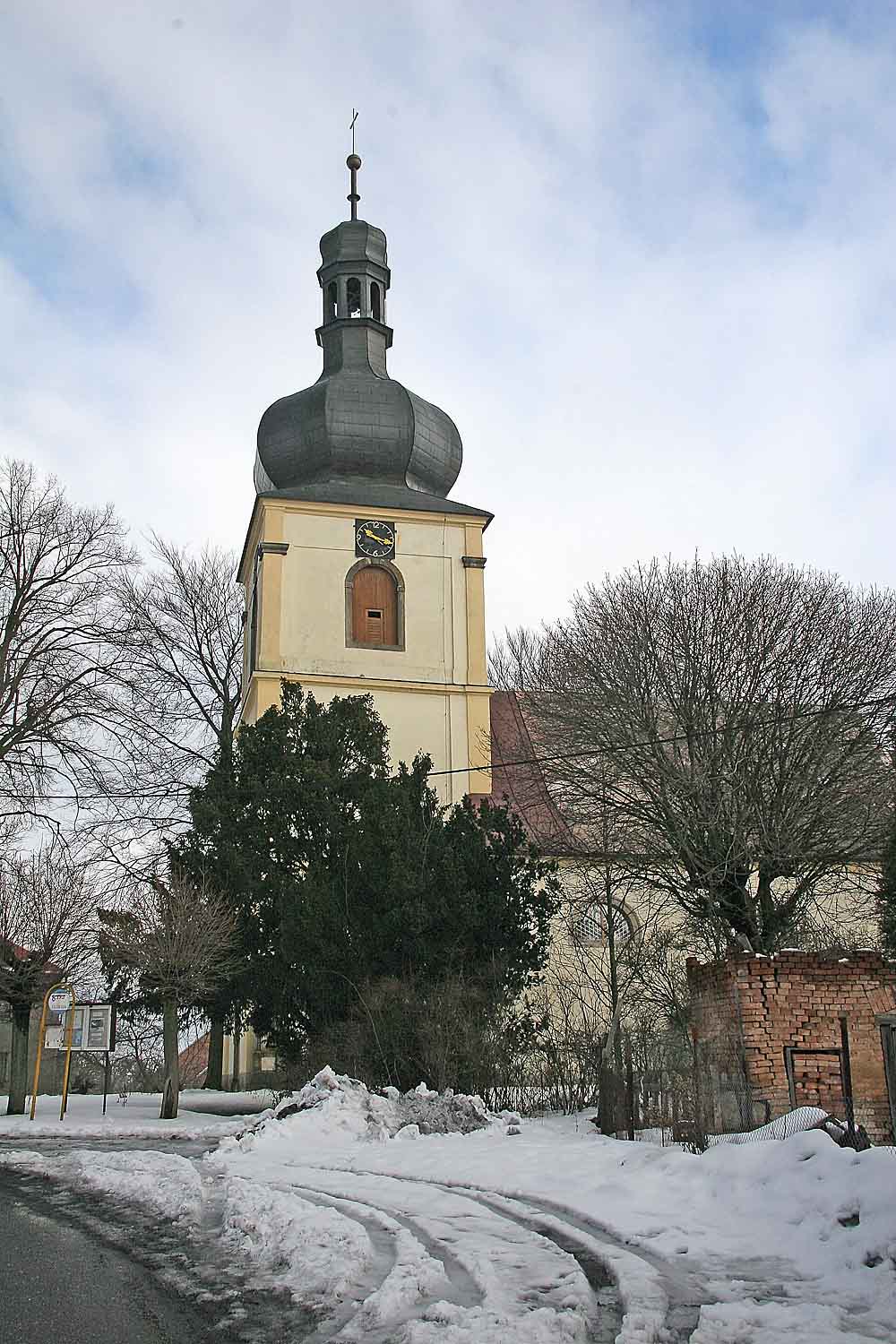
- Hněvčeves
Geobox | Settlement
name = Hněvčeves
other_name =
category = Village
image_caption =

symbol = Hnevceves CoA CZ.gif
etymology =
official_name =
motto =
nickname =
country = Czech Republic
country_
state =
region = Hradec Králové
region_type = Region
district = Hradec Králové
district_type = District
commune = Hradec Králové
municipality =
part =
river =
location =
elevation = 277
lat_d = 50
lat_m = 18
lat_s = 47
lat_NS = N
long_d = 15
long_m = 42
long_s = 48
long_EW = E
highest =
highest_elevation =
highest_lat_d =
highest_long_d =
lowest =
lowest_elevation =
lowest_lat_d =
lowest_long_d =
area = 2.67
area_round = 2
population = 160
population_date = 2006-07-03
population_density = auto
established = 1369
established_type = First mentioned
mayor = Jan Kleček
timezone =
map_background = Czechia - background map.png
map_locator = Czechia
commons = Hněvčeves
statistics = [http://www.statnisprava.cz/ebe/ciselniky.nsf/i/570010 statnisprava.cz]
website = [http://www.hnevceves.cz/ www.hnevceves.cz]
footnotes =Hněvčeves is a village in the
Czech Republic .External links
* [http://www.hnevceves.cz/ Municipal website]


Wikimedia Foundation. 2010.