- Lhota pod Libčany
Geobox | Settlement
name = Lhota pod Libčany
other_name =
category = Village
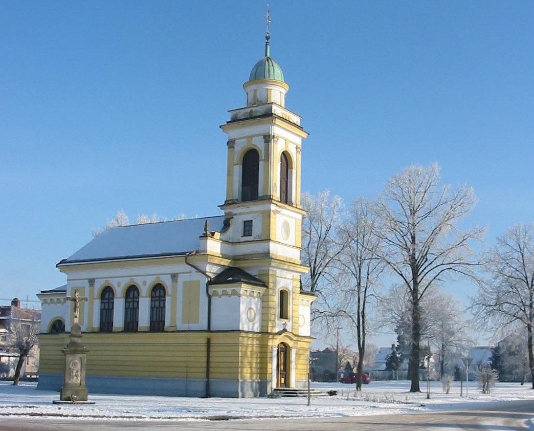
image_caption = Chapel of the Holy Trinity from 1900
 | flag_border = 1
symbol = Lhota pod Libcany CZ CoA.jpg
etymology =
official_name =
motto =
nickname =
country = Czech Republic
country_
state =
region = Hradec Králové
region_type = Region
district = Hradec Králové
district_type = District
commune =Hradec Králové
municipality =
part =
river =
location =
elevation = 239
lat_d = 50
lat_m = 10
lat_s = 14
lat_NS = N
long_d = 15
long_m = 41
long_s = 40
long_EW = E
highest =
highest_elevation =
highest_lat_d =
highest_long_d =
lowest =
lowest_elevation =
lowest_lat_d =
lowest_long_d =
area = 8.37
area_round = 2
population = 796
population_date = 2006-07-03
population_density = auto
established = 1436
established_type = First mentioned
mayor = Petr Cvrček
timezone =
map_background = Czechia - background map.png
map_locator = Czechia
commons = Lhota pod Libčany
statistics = [http://www.statnisprava.cz/ebe/ciselniky.nsf/i/570231 statnisprava.cz]
website = [http://www.lhotapodlibcany.cz/ www.lhotapodlibcany.cz]
footnotes =Lhota pod Libčany is a village and municiaplity in the
Czech Republic , located about 10 km southwest ofHradec Králové .External links
* [http://www.lhotapodlibcany.cz/ Municipal website]


Wikimedia Foundation. 2010.