- Manistique, Michigan
-
Manistique, Michigan — City — Aerial view of Manistique. The Manistique River flows into Lake Michigan through the center of the city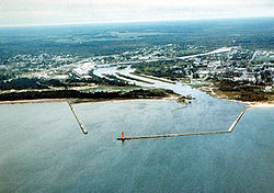 Location of Manistique, Michigan
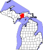
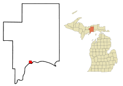
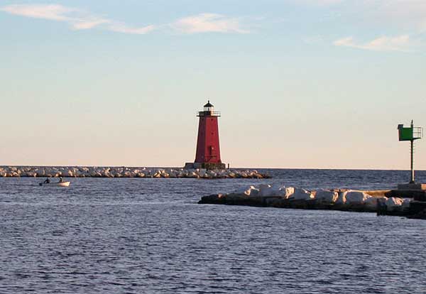
Coordinates: 45°57′28″N 86°14′59″W / 45.95778°N 86.24972°WCoordinates: 45°57′28″N 86°14′59″W / 45.95778°N 86.24972°W Country United States State Michigan County Schoolcraft Area - Total 3.5 sq mi (9.1 km2) - Land 3.2 sq mi (8.3 km2) - Water 0.3 sq mi (0.8 km2) Elevation 600 ft (183 m) Population (2000) - Total 3,583 - Density 1,124.0/sq mi (434.0/km2) Time zone Eastern (EST) (UTC-5) - Summer (DST) EDT (UTC-4) ZIP code 49854 Area code(s) 906 FIPS code 26-50760[1] GNIS feature ID 1620685[2] Manistique is a city in the Upper Peninsula of the U.S. state of Michigan. As of the 2000 census, the city population was 3,583. It is the county seat of Schoolcraft County[3] and the only incorporated community in the county. The city lies on the north shore of Lake Michigan, at the southwest corner of Manistique Township, but is politically autonomous. Manistique was founded where the Manistique River flows into Lake Michigan, forming somewhat of a natural harbor, which has since been improved with breakwaters, dredging, and a lighthouse. The river also provides water for a paper mill, Manistique Papers, which forms a large portion of the local economy. The city's largest employer is Schoolcraft Memorial Hospital. The economy also depends heavily on tourism. The city is also the first setting of the musical The Christmas Schooner.[4]
Contents
Geography
According to the United States Census Bureau, the city has a total area of 3.5 square miles (9.1 km2), of which, 3.2 square miles (8.3 km2) of it is land and 0.3 square miles (0.78 km2) of it (9.14%) is water.
Transportation
Demographics
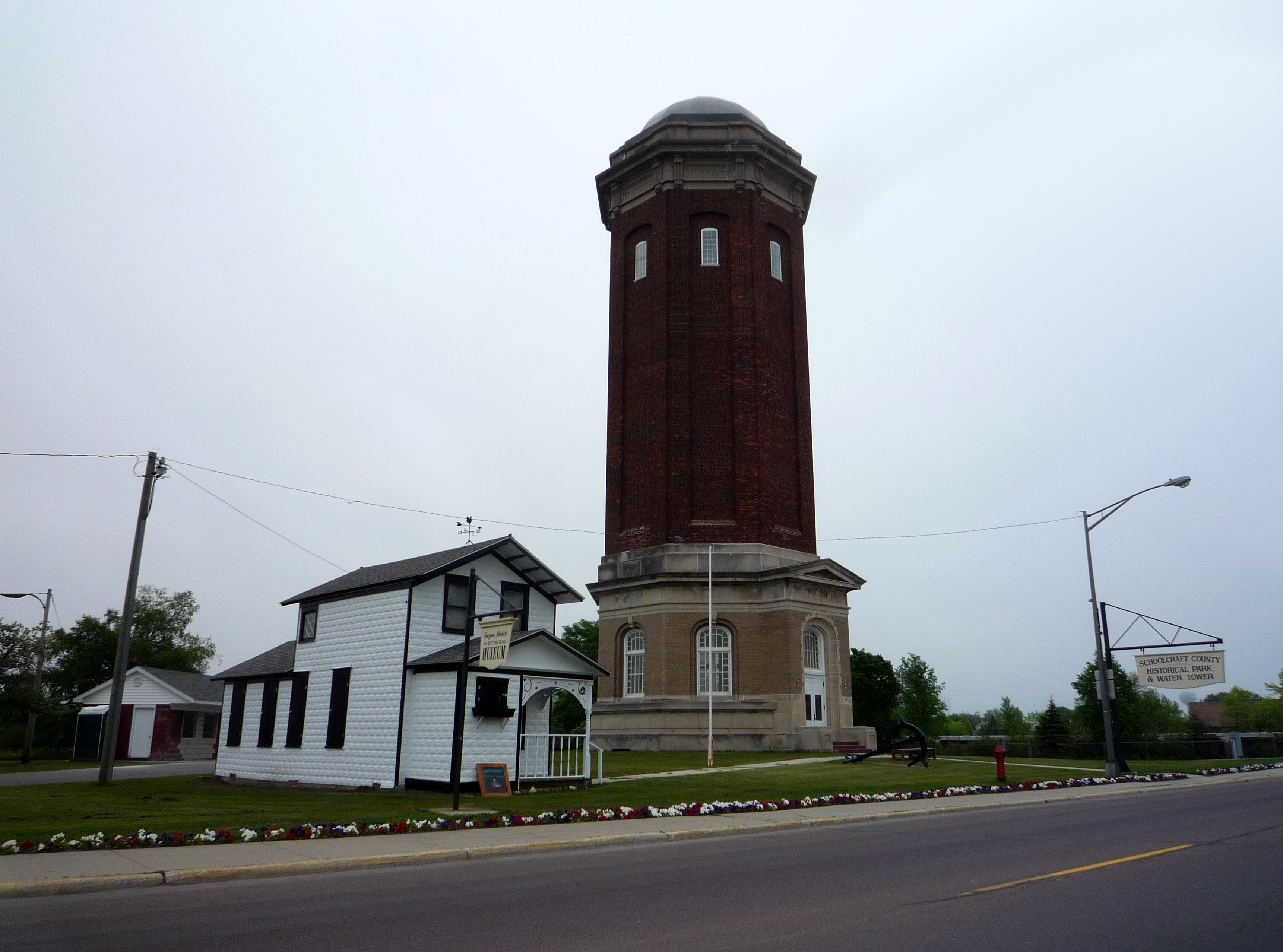
 The Historic Manistique Water Tower and Schoolcraft County Museum.
As of the census[1] of 2000, there were 3,583 people, 1,449 households, and 865 families residing in the city. The population density was 1,124.0 per square mile (433.7/km²). There were 1,611 housing units at an average density of 505.4 per square mile (195.0/km²). The racial makeup of the city was 87.02% White, 3.74% African American, 5.16% Native American, 0.73% Asian, 0.28% from other races, and 3.07% from two or more races. Hispanic or Latino of any race were 1.31% of the population.
There were 1,449 households out of which 29.4% had children under the age of 18 living with them, 43.3% were married couples living together, 12.9% had a female householder with no husband present, and 40.3% were non-families. 36.9% of all households were made up of individuals and 17.9% had someone living alone who was 65 years of age or older. The average household size was 2.24 and the average family size was 2.92.
In the city the population was spread out with 23.6% under the age of 18, 8.5% from 18 to 24, 28.2% from 25 to 44, 19.8% from 45 to 64, and 19.9% who were 65 years of age or older. The median age was 38 years. For every 100 females there were 94.1 males. For every 100 females age 18 and over, there were 94.7 males.
The median income for a household in the city was $24,295, and the median income for a family was $31,979. Males had a median income of $28,456 versus $18,750 for females. The per capita income for the city was $14,986. About 12.0% of families and 15.7% of the population were below the poverty line, including 19.0% of those under age 18 and 9.8% of those age 65 or over.
References
- ^ a b "American FactFinder". United States Census Bureau. http://factfinder.census.gov. Retrieved 2008-01-31.
- ^ "US Board on Geographic Names". United States Geological Survey. 2007-10-25. http://geonames.usgs.gov. Retrieved 2008-01-31.
- ^ "Find a County". National Association of Counties. http://www.naco.org/Counties/Pages/FindACounty.aspx. Retrieved 2011-06-07.
- ^ Christmas Schooner Synopsis http://www.mtishows.com/show_detail.asp?showid=000185
External links
Municipalities and communities of Schoolcraft County, Michigan County seat: Manistique City Manistique
Townships Unincorporated
communitiesCategories:- Cities in Michigan
- Populated places in Schoolcraft County, Michigan
- County seats in Michigan
- Populated places on the Great Lakes


Wikimedia Foundation. 2010.