Mokohinau Islands

Mokohinau Islands
Mokohinau Islands
Maori: Mokohinau
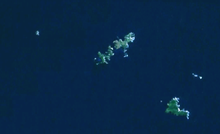
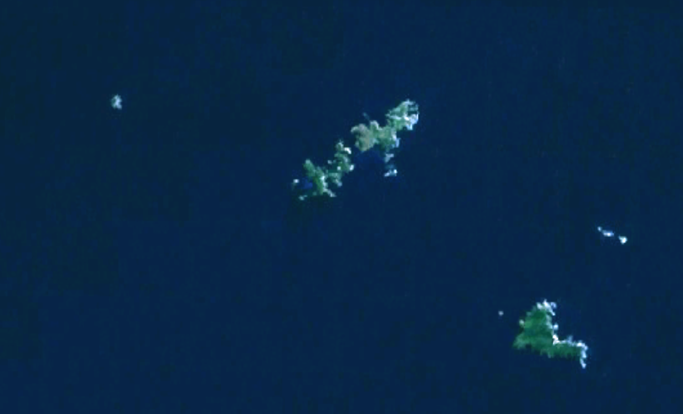
Geography
Coordinates 35°54′S 175°07′E / 35.9°S 175.117°E / -35.9; 175.117
Country
Demographics
Population 0

The Mokohinau Islands are a small group of islands that lie off the northeast coast of New Zealand's North Island. The islands are 21 km (13 mi) northwest of Great Barrier Island and approximately 52 km (32 mi) east of Bream Head. Most of them are managed by the Department of Conservation as nature reserves and wildlife sanctuaries. Landing is not allowed without a permit, with the exception of Burgess Island, much of which is managed as a scenic reserve[1] by the Department of Conservation. The remainder of Burgess Island is Crown Land and is administered by the Ministry of Transport.[citation needed]

The islands are volcanic stacks, sitting at the edge of the continental shelf.[1] Nowadays free of mammalian pests again, the islands are being left to regenerate naturally, and are the home to a number of New Zealands smallest endangered species, such as the Mokohinau skink, the robust skink and the Mokohinau stag beetle as well as a number of endangered plant species.[1]

Historically, the islands were often visited seasonally by Maori for muttonbirding, harvesting the chicks of petrels for food and oil.[1] Today, the main attractions for the rare tourists are the very clear waters teeming with wildlife.[1]

Burgess Island is also the location of the Mokohinau Islands Lighthouse, one of the most distant lights from the mainland. The light was built in 1883 and fully automated in 1980.

Coordinates: 35°54′S 175°07′E / 35.9°S 175.117°E / -35.9; 175.117

See also

References

  1. ^ a b c d e "The Hauraki Gulf Marine Park, Part 2". Inset to The New Zealand Herald: pp. 15. 3 March 2010. 

External links


Wikimedia Foundation. 2010.

Игры ⚽ Нужен реферат?

Look at other dictionaries:

  • Mokohinau Islands — Gewässer Pazifischer Ozean Geographische Lage …   Deutsch Wikipedia

  • Mokohinau Islands Lighthouse — Location Mokohinau Islands, North Island, New Zealand Coordinates 35°54′S 175°07′E /  …   Wikipedia

  • Mokohinau skink — Scientific classification Kingdom: Animalia Phylum …   Wikipedia

  • List of islands of New Zealand — New Zealand consists of a large number of islands. The two main islands, which are much larger than the rest and where most of the population lives, are the North Island and the South Island. The latter is often a little ironically referred to as …   Wikipedia

  • Poor Knights Islands — Infobox Islands name = Poor Knights Islands location = Northland, New Zealand coordinates = coord|35|30|S|174|45|E area = 24 km² country = New Zealand The Poor Knights Islands are a group of islands off the east coast of the Northland Region of… …   Wikipedia

  • Мокохинау — англ. Mokohinau Islands Координаты: Координаты …   Википедия

  • Fanal Island — Vorlage:Infobox Insel/Wartung/Bild fehltVorlage:Infobox Insel/Wartung/Höhe fehlt Fanal Island Gewässer Pazifischer Ozean Inselgruppe Mokohinau Islands Geographische Lage …   Deutsch Wikipedia

  • Liste neuseeländischer Inseln — Diese Liste führt die Inseln Neuseelands auf. Neben den zwei Hauptinseln gehören eine Reihe von Inseln in der Hauptkette, Binneninseln und die von Neuseeland teils sehr weit entfernten Outlying Islands zu Neuseeland. Außerdem sind einige… …   Deutsch Wikipedia

  • Auckland City — This article is about the former local government area. For the football team, see Auckland City FC. For the greater metropolitan area, see Auckland. Auckland City   Territorial authority of New Zealand   …   Wikipedia

  • Ornate skink — Conservation status Vulnerable (IUCN 2.3) Scientific classification Kingdom …   Wikipedia

Share the article and excerpts

Direct link
Do a right-click on the link above
and select “Copy Link”