- Contramaestre, Cuba
-
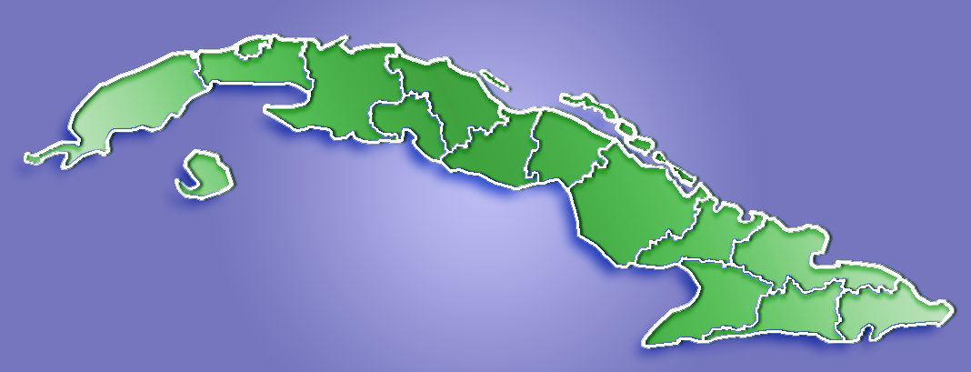
Contramaestre — Municipality — Location of Contramaestre in Cuba

Coordinates: 20°18′0″N 76°15′2″W / 20.3°N 76.25056°WCoordinates: 20°18′0″N 76°15′2″W / 20.3°N 76.25056°W Country  Cuba
CubaProvince Santiago de Cuba Area – Total 610.3 km2 (235.6 sq mi) Elevation 110 m (361 ft) Population (2004)[1] – Total 101,832 – Density 166.9/km2 (432.3/sq mi) Time zone EST (UTC-5) Area code(s) +53-226 Contramaestre is a municipality in the Santiago de Cuba Province of Cuba.
Contents
Demographics
In 2004, the municipality of Contramaestre had a population of 101,832.[1] With a total area of 610 km2 (240 sq mi), it has a population density of 166.9 /km2 (432 /sq mi).
Health
Main Hospital: Orlando Pantoja Tamayo (22.July.1988)
Education
Elementary Schools: Jose de la Luz y Caballero. Semi-internado: Orlando Pantoja T.
Secondary Schools: Pepito Tey.
See also
Rodolfo Rodriguez
References
- ^ a b Santiago.cu (2006). "Municipalities of Santiago de Cuba". http://www.santiago.cu/nuestrostgo/Municipio/2.htm. Retrieved 2007-10-05. (Spanish)
Municipalities in Santiago de Cuba Province Contramaestre · Guamá · Mella · Palma Soriano · San Luis · Santiago de Cuba · Secundo Frente · Songo - La Maya · Tercer Frente Categories:
- Populated places in Cuba
- Cuba geography stubs
Wikimedia Foundation. 2010.