- Nizamabad, Andhra Pradesh
-
Nizamabad(ఇందూరు)(ఇంద్రపురి) — city — Coordinates 18°40′19″N 78°05′38″E / 18.672°N 78.094°ECoordinates: 18°40′19″N 78°05′38″E / 18.672°N 78.094°E Country India Region Deccan Plateau State Andhra Pradesh District(s) Nizamabad Member of Parliament Madhu Goud Yaskhi Member of the Legislative Assembly Yendela LakshmiNarayana population_as_of = 2005
Parliamentary constituency Nizamabad Assembly constituency Nizamabad Urbun Population
• Density
320,722
• 2,227 /km2 (5,768 /sq mi)
Sex ratio 1021/1000 Females/males ♂/♀ Literacy 80% Official languages Telugu Time zone IST (UTC+05:30) Area
144 square kilometres (56 sq mi)
• 395 metres (1,296 ft)
Climate
Temperature
• Summer
• Winter
• 32 °C (90 °F)
• 40 °C (104 °F)
• 18 °C (64 °F)Footnotes- Neelakantehshwra Temple
Website www.nizamabad.nic.in Nizamabad(Indhooru)(IndhraPuri)
 pronunciation (help·info) (Telugu: నిజామాబాదు(ఇందూరు)(ఇంద్రపురి), Urdu: نظام آباد) is a city and a municipal corporation in Nizamabad District in the state of Andhra Pradesh, India. It is the headquarters of the district. It has a population of 366,956 agglomeration (6 to 8 lakhs). Nizamabad is the 10th largest city, in the state of Andhra Pradesh. Nizamabad Town is one of 36 mandals in the Nizamabad district. It is located 171 kilometres (106 mi) north of state capital, Hyderabad.
Contents
History
-
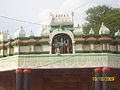
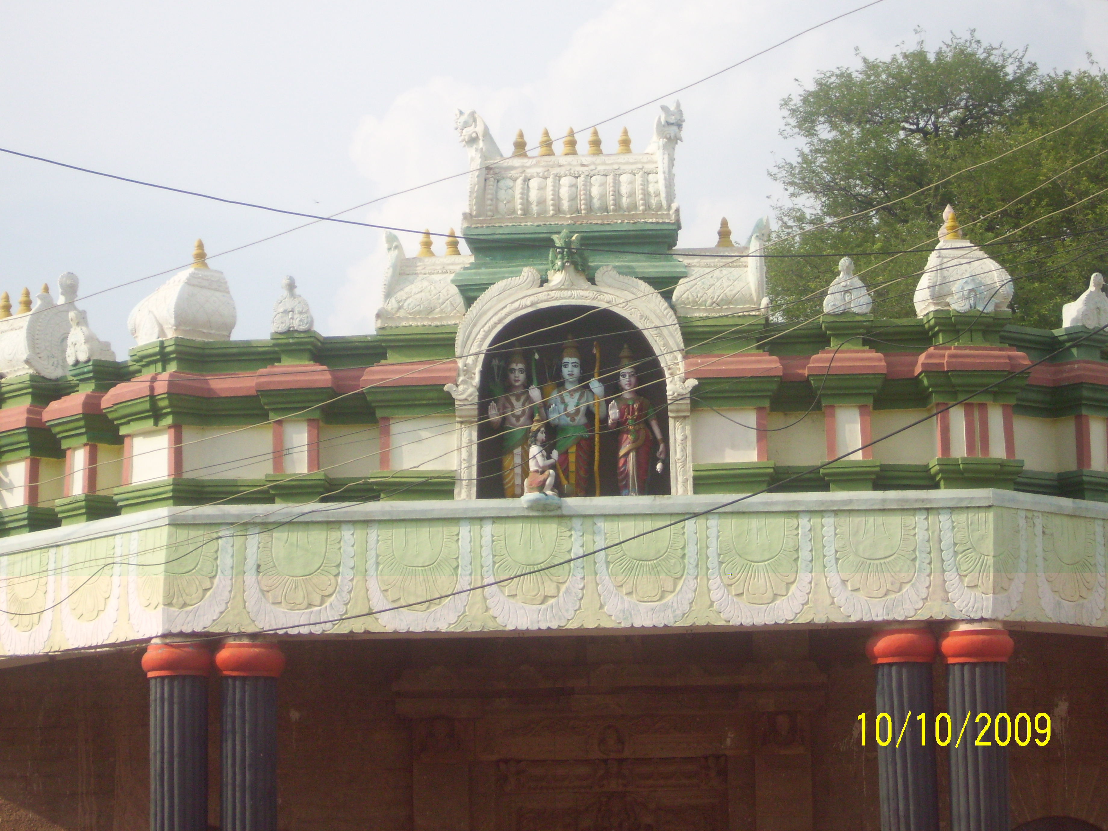
Khilla RamalayamTemple in Dichpally belongs to Kakatiya Empire 12th century.
Nizamabad was formerly known as Induru and Indrapuri. It was ruled by the king Indra Vallabha Panthya Varsha Indra Som, of the Rashtrakuta Dynasty, in the 8th century, and took its name from him. In 1905 the railway line between Secundrabad and Manmad was constructed. The railway station was named after then ruler of the Nizam state Nizam-ul-Mulk as Nizamabad. The railway line connects Hyderabad and Mumbai. It is like North-South corridor. Has the distance of 161 km (100 mi) from Hyderabad and 640 km (400 mi) from Mumbai.
The Nizam Sagar dam was constructed in the year 1923 across the Manjira River at the village of (Achampeta) Achampet. It irrigates 250,000 acres (1,000 km2; 390 sq mi) of land in Nizamabad district.
Nizamabad is in the north of Andhra Pradesh in the district of Nizamabad. It has many towns like Bodhan, Armuru, Kamareddy and Banswada, In Bodhan town there is Nizam Sugar Factory. In early years it was the biggest in the Asian continent. Bodhan is a town with a mixture of people from many cultural and religious backgrounds, consisting primarily of Hindus, Sikhs and Muslims as well as Christians and other religious communities. Once it was the capital at the time of the Rashtrakuta Empire.
Recently, Telangana University was established at Nizamabad, which serves the three districts of Adilabad, Medak and Nizamabad.
Geography
Nizamabad is located at 18°40′38″N 78°6′11″E / 18.67722°N 78.10306°E.[1] It has an average elevation of 395 m (1,296 ft). Climate is Tropical Wet and Dry with most rainfall from June to October.
Demographics
As of 2011 India census,[2] Nizamabad had a population of 3,10,467. Males constitute 51% of the population and females 49%. Nizamabad has an average literacy rate of 80.31%, higher than the national average of 74.04.%: male literacy is 86.82%, and female literacy is 73.83%. In Nizamabad, 13% of the population is under 6 years of age.
Manjeera Riverbed
Manjeera River runs through the district by covering, Nizamsagar, Banswada, Birkur, Pothangalu(laxmikanth), Kandakurthi and all the way to Pochampadu into Godavari river.
Transport
The nearest airports are at Hyderabad 162 km (101 mi) and Warangal 230 km (140 mi). Nizamabad is connected by rail to Hyderabad and Mumbai section, station code NZB.
Road transport
Nizamabad urban is well connected by road ways with APSRTC for common man with a bus for every 15 minutes to Capital city of Andhra Pradesh(Hyderabad) Volvo service currently stays witheld due to road construction of NH-7 from dichpally to kamareddy. NH7 is the largest National Highway in India having more than 2,900 KM. It connects Varanasi in North India and Kanyakumari in South India is a North-South corridor. Bus service is one of the important methods of transportation in Nizamabad. NH-16 passes through Nizamabad, it is near the National Highway No. 7, which goes from Kanyakumari in the south to Varanasi in north India, and the new North South Corridor of NHDP. National Highway No. 16 starts from Nizamabad city and passes through Karimnagar to Jagadalpur in the state of Chhattisgarh.[3]
Rail transport
NIZAMABAD (Station Code: NZB) is a station located on the Kachiguda-Manmad section of Hyderabad (HYB) Division of South Central Railway (SCR). Nizamabad has rail connectivity with Bhopal, Gwalior, Manmad, Aurangabad, Nanded, Parbhani, Parli Vaijnath, Latur, Osmanabad, Gangakhed, Mudkhed, Adilabad, Nagpur, Basar, Nizamabad, Nasik, Mumbai, Pune, Daund, Mahbubnagar, Kurnool, Kadapa, Renigunta, Tirupati, Katpadi, Erode, Madurai and Kachiguda (HYB). Ajanta Express between Kachiguda and Manmad is the most prestigious train passing through this station. Earlier there used to ply Ellora Express exclusively between Manmad and Nizamabad. This train has been cancelled during Gauge Conversion Process.
References
- ^ Falling Rain Genomics, Inc - Nizamabad
- ^ "Census of India 2001: Data from the 2001 Census, including cities, villages and towns (Provisional)". Census Commission of India. Archived from the original on 2004-06-16. http://web.archive.org/web/20040616075334/http://www.censusindia.net/results/town.php?stad=A&state5=999. Retrieved 2008-11-01.
- ^ "North South East West Map". National Highway Development Project. http://www.nhai.org/Nsew_english.htm. Retrieved 2008-06-16.
- nizamabad's classified's website
- "Nizamabad City Guide". ClickIndia.com. Archived from the original on 2008-04-18. http://web.archive.org/web/20080418194843/http://www.hyderabad-india.net/areas/nizamabad.html. Retrieved 2008-06-16.
External links
 State of Andhra Pradesh
Capital : Hyderabad Topics Districts Adilabad · Anantapur · Chittoor · East Godavari · Guntur · Hyderabad · Karimnagar · Khammam · Krishna · Kurnool · Mahabubnagar · Medak · Nalgonda · Nellore · Nizamabad · Prakasam · Ranga Reddy · Srikakulam · Visakhapatnam · Vizianagaram · Warangal · West Godavari · YSR
Major cities Hyderabad · Visakhapatnam · Vijayawada · Tirupati · Warangal · Hanamakonda · Guntur · Rajahmundry · Kakinada · Nellore · Kurnool · Anantapur · Ramagundam · Eluru · Machilipatnam · Bhimavaram · Karimnagar · Mancherial · Kadapa · Khammam · Bhadrachalam · Nizamabad
Portal : Andhra Pradesh Categories:- Mandals in Nizamabad district
- Railway stations in Nizamabad district
- Cities and towns in Nizamabad district
- Nizamabad district


Wikimedia Foundation. 2010.