- Newport Pan Lane (Isle of Wight) railway station
-
Pan Estate 
As near as is possible to get to the original site Location Place Pan Lane, Newport(Now known as “Furlongs”) Area Isle of Wight Grid reference SZ503889 Operations Pre-grouping Isle of Wight and Newport Junction Railway (1868Inc);1875-1879) Post-grouping Defunct Platforms 1 History 11 August 1875 Opened (unofficial) 6 October 1875 Opened (Official) 1 June 1879 Closed Disused railway stations in the United Kingdom Closed railway stations in Britain
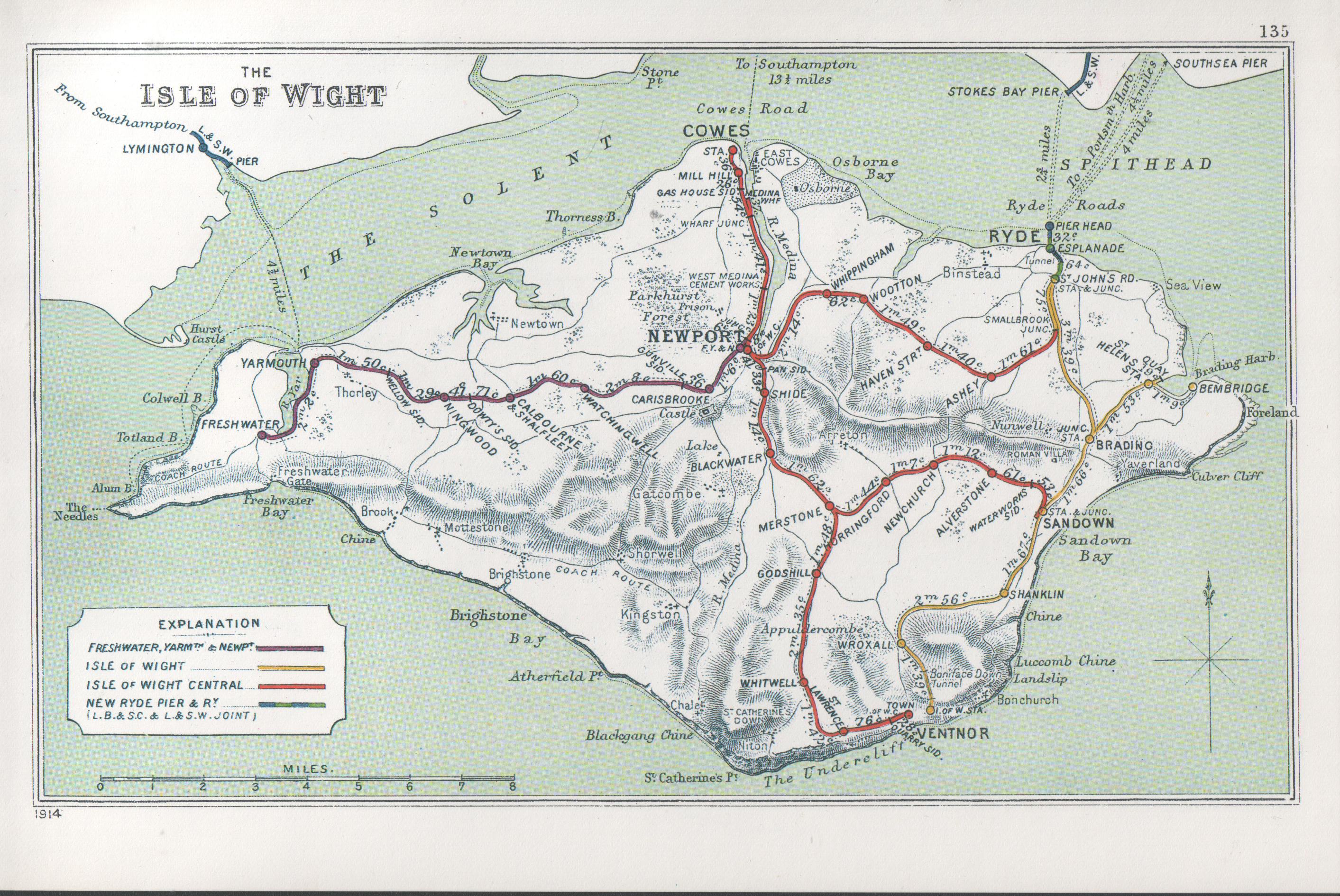
A B C D–F G H–J K–L M–O P–R S T–V W–Z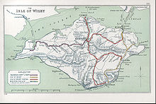 A 1914 Railway Clearing House map of lines around The Isle of Wight.
Newport Pan Lane railway station, was, for four years, the temporary terminus [1] of the Isle of Wight and Newport Junction Railway incorporated in 1868.[2] Opened on 11 August 1875[3] and closed 4 years later [4] on 1 June 1879 when the line was extended northwards to link with the new Newport Station (and thus the “Ryde and Newport Railway”). Any trace of the station has long since gone[5] and today the nearest landmark is an alleyway leading from the residential road called “Furlongs”.[6]
Preceding station Disused railways Following station Shide Isle of Wight and Newport Junction Railway
(become part of IWCR in 1887)Terminus See also
References
- ^ Pomeroy, C,A "Isle Of Wight Railways, Then and Now": Oxford,Past & Present Publishing, 1993, ISBN 0947971629
- ^ Bennett,A "Southern Holiday Lines in Hampshire and the Isle of Wight": Cheltenham, Runpast 1994 ISBN 187075431X
- ^ but without Board of Trade approval, and ordered to close again; eventually reopening, with authority, on 6 October 1875 [1]
- ^ Hay,P "Steaming Through the Isle Of Wight": Midhurst,Middleton, 1988 ISBN 0906520568
- ^ Gammell,C.J "Southern Branch Lines": Gammell,C.J Oxford, OPC, 1997 ISBN 086093537X
- ^ Streetmap arrow pointing to estimated position
External links
Ex stations on the Isle of Wight Alverstone · Bembridge · Blackwater · Calbourne & Shalfleet · Carisbrooke · Cement Mills Halt · Cowes · Freshwater · Godshill · Horringford · Medina Wharf · Merstone · Mill Hill · Newchurch · Newport FYN · Newport IWCR · Newport Pan Lane · Ningwood · Shide · St Helens · St Lawrence · Ventnor · Ventnor West · Watchingwell · Whippingham · Whitwell · Wroxall · Yarmouth
Coordinates: 50°41′49″N 1°17′16″W / 50.69694°N 1.28778°W
Categories:- Disused railway stations on the Isle of Wight
- Former Isle of Wight Central Railway stations
- Railway stations opened in 1875
- Railway stations closed in 1879
- South East England railway station stubs

Wikimedia Foundation. 2010.