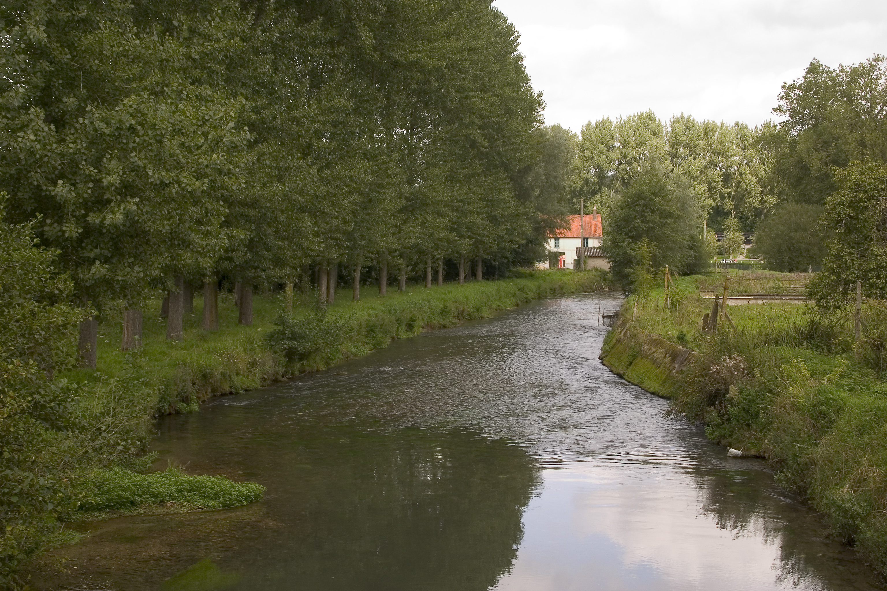
- Aa River (France)
Infobox River | river_name = Aa

caption =
origin =Nord-Pas-de-Calais
mouth =North Sea
coord|51|0|21|N|2|6|16|E|name=North Sea-Aa|display=inline,title
basin_countries =France
length = 89 km
elevation =
discharge = 10 m³/s
watershed = 1,215 km²The Aa is an 89 km long river in northernFrance . Its source is near the villageBourthes . It flows through the following "départements" and cities:*
Pas-de-Calais :Saint-Omer .
* Nord:Gravelines .The Aa flows into the
North Sea near Gravelines.The name Aa is old-Dutch and means river.
Geography
The river has two characters. From its source to Saint-Omer, it is a small
chalk stream ; a small version of the Somme. From Saint-Omer seawards, it is an artificial navigation with branchcanal s leading towardsCalais and Dunkirk and the Canal de Neuffossé heading inland into the French canal system.History
Saint-Omer formerly lay at the head of its
estuary while to seaward; Calais lay on its western margin andBergues , now inland fromDunkirk , on its eastern one. By the time of theViking settlements on this coast, Dunkirk was developing on thedune s, offshore across the estuarine marsh from Bergues. Gravelines was the later port at the seaward end of the river as it became, after the area of the estuary was reclaimed. The dates of these events are imprecise but the modern pattern was firmly established by 1588, the time of theSpanish Armada , when an approximation to the modern course of the lowland river formed the boundary between theSpanish Netherlands andFrance .Pollution
The river suffers significant problems from industrial discharge:
References
* [http://sandre.eaufrance.fr/app/chainage/courdo/htm/E4--001-.php?cg=E4--001- The Aa at the Sandre database]
Wikimedia Foundation. 2010.
