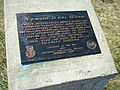
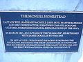
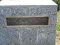
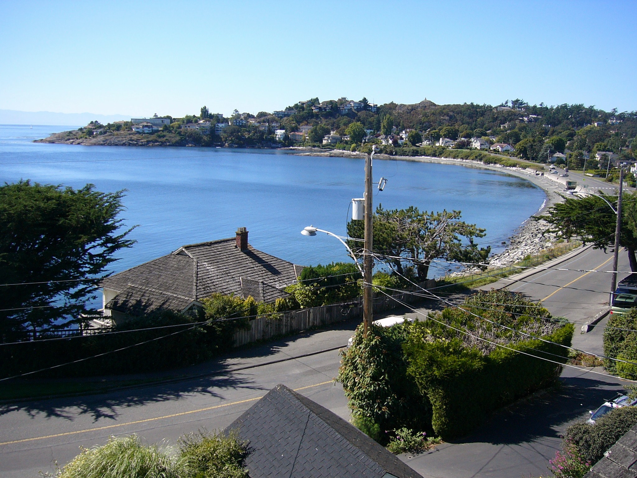
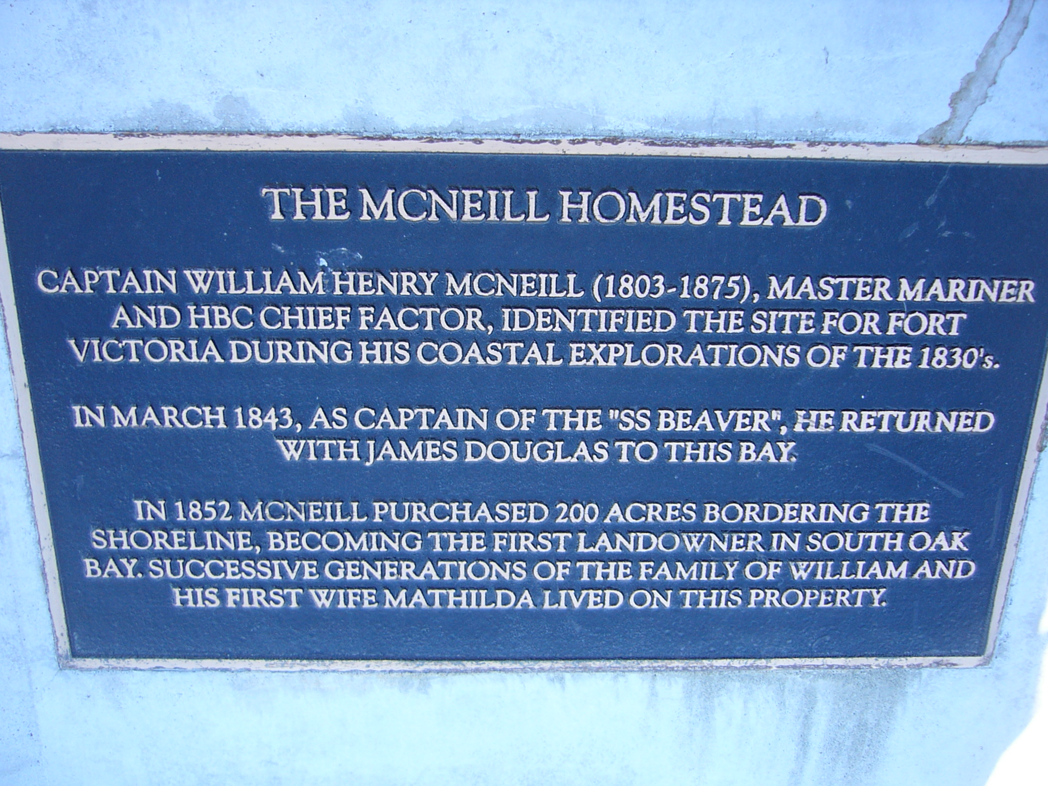
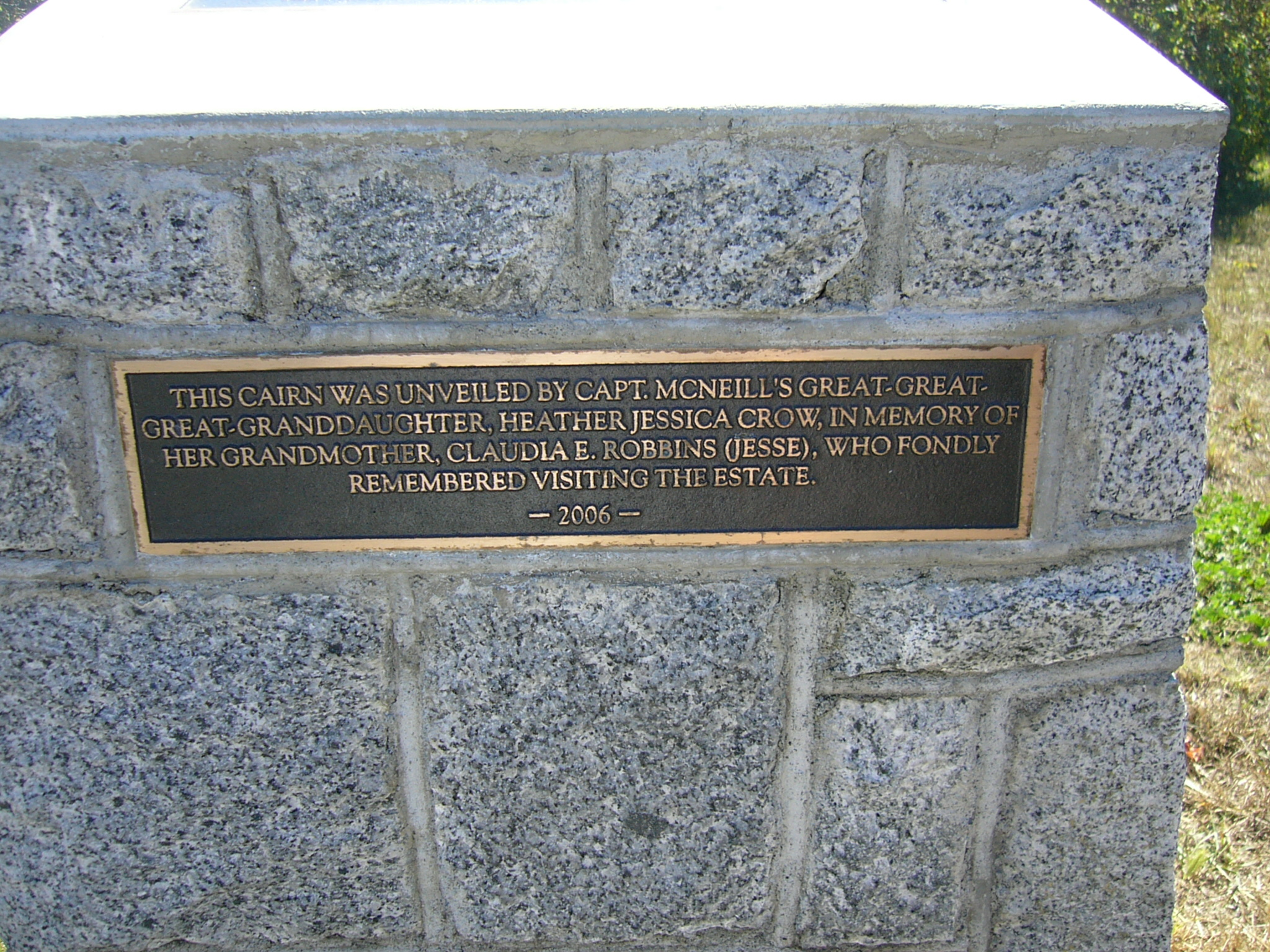
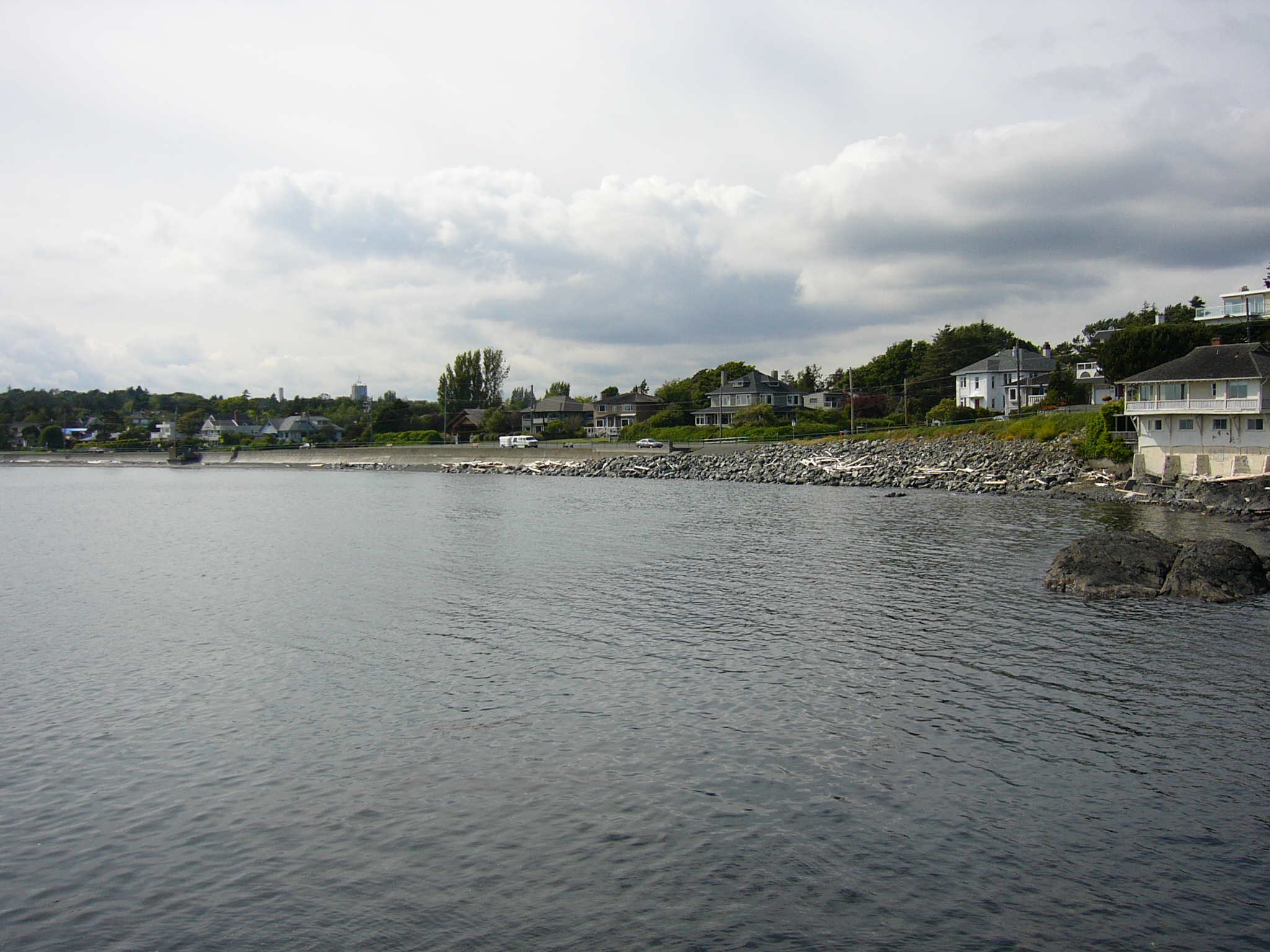
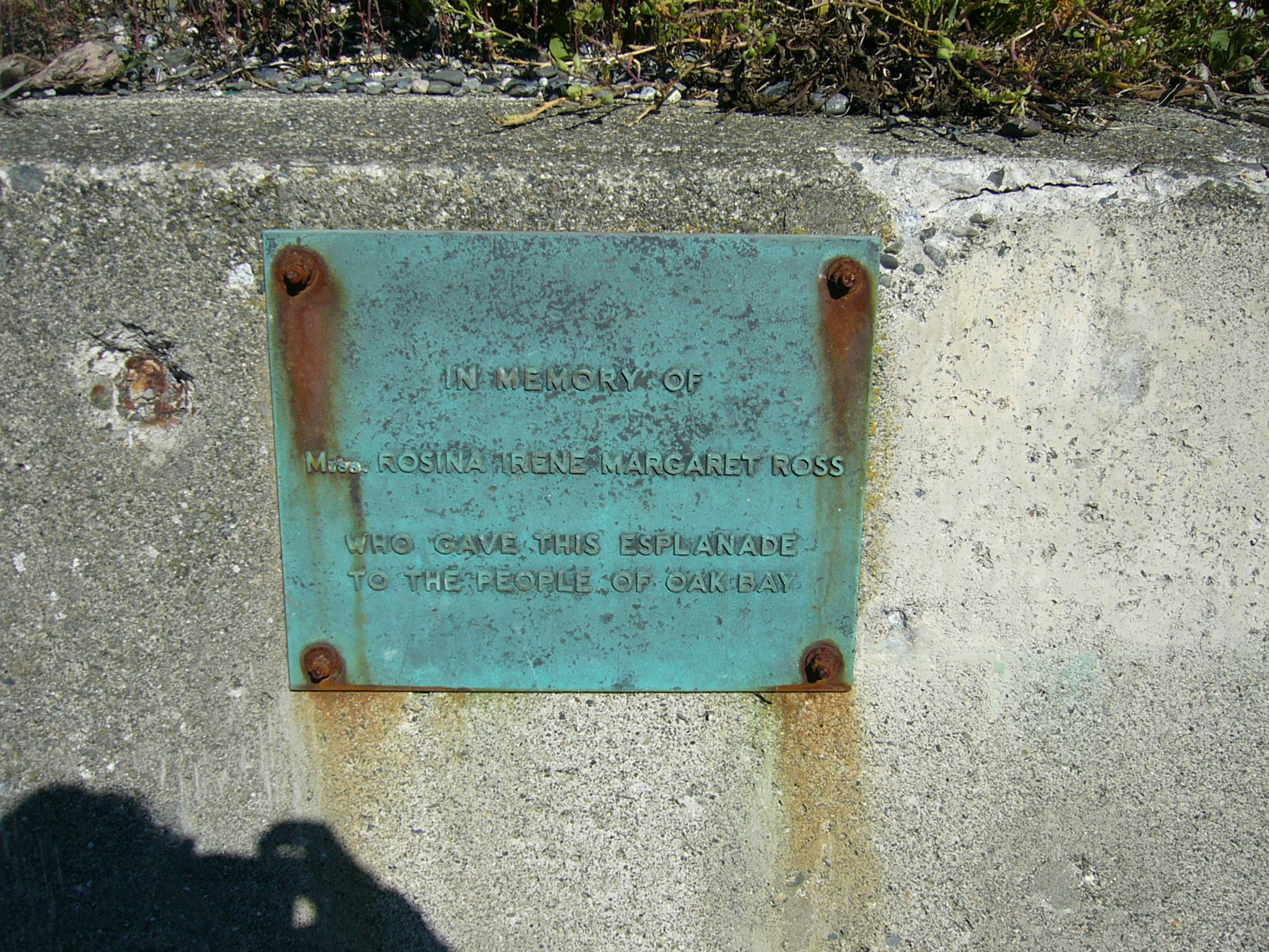
McNeill Bay (British Columbia)
Look at other dictionaries:
Oak Bay, British Columbia — For the electoral district, see Oak Bay (electoral district). Oak Bay Municipality … Wikipedia
Fanny Bay, British Columbia — Infobox Settlement official name = Settlement of Fanny Bay other name = native name = nickname = settlement type = Settlement motto = imagesize = image caption = flag size = image seal size = image shield = shield size = city logo = citylogo size … Wikipedia
Mill Bay, British Columbia — For other places with the same name, see Mill Bay (disambiguation). Mill Bay is a commuter town of about 3,200 people located on Vancouver Island, British Columbia, Canada about 30 km (19 mi) north of Victoria, the capital. Mill Bay was … Wikipedia
Maple Bay, British Columbia — Maple Bay is a picturesque seaside community located in the Cowichan Valley of southern Vancouver Island, British Columbia, Canada. A narrow inlet and surrounded by smooth, pebbled beaches, Maple Bay is home to marine activity all year round. The … Wikipedia
Cowichan Bay, British Columbia — Cowichan Bay (Cow Bay) is a bay and community located near Duncan, in British Columbia. The mouth of the Cowichan River is near Cowichan Bay. The bay is known for its fishing and scenic value. The area s main industries are fishing and tourism.… … Wikipedia
Deep Bay, British Columbia — Aerial view of Deep Bay Marina with Baynes Sound, Denman Island (Chrome Island Light off its tip) and Hornby Island in the background. Deep Bay is an unincorporated area on the east coast of Vancouver Island, in British Columbia, Canada across… … Wikipedia
Nanoose Bay, British Columbia — View of Nanoose Bay from Notch Hill Nanoose Bay is a community of about 5 000 people in the Canadian province of British Columbia. It is located between Nanaimo and Parksville on the Strait of Georgia on the east coast of Vancouver Island. The… … Wikipedia
British Columbia Coast — Howe Sound, along British Columbia s South Coast. The British Columbia Coast or BC Coast is Canada s western continental coastline on the Pacific Ocean. The usage is synonymous with the term West Coast of Canada. In a sense excluding the urban… … Wikipedia
Port McNeill, British Columbia — Infobox Settlement official name = Town of Port McNeill other name = native name = nickname = settlement type = Town motto = imagesize = image caption = flag size = image seal size = image shield = shield size = city logo = citylogo size =… … Wikipedia
British Columbia Ferry Services — Le ferry Queen of Oak Bay de la société BC Ferries en train de quitter le terminal de Horseshoe Bay (Vancouver Ouest) British Columbia Ferry Services Inc. ou plus couramment BC Ferries est une société de droit canadien, fondée en 1960, dont l… … Wikipédia en Français
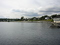
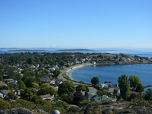 McNeill Bay seen from Walbran Park on Gonzales Hill with Mt Baker in the distance.