- Appin Parish, Cumberland
Infobox Australian cadastral
name = Appin
state = New South Wales
imagesize = 180
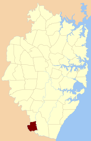
caption = Location of the parish within Cumberland
lga =Wollondilly Shire Council
county = Cumberland
former hundred = Campbelltown
est = 1835
near-nw = Camden (Camden)
near-n = Manangle
near-ne = Wedderburn
near-e = Wedderburn
near-se = Wedderburn
near-s = Wallandoola(Camden)
near-sw = Wilton(Camden)
near-w = Camden(Camden)Appin Parish, Cumberland is one of the 57 parishes of
Cumberland County, New South Wales , a cadastral unit for use onland titles . Its eastern boundary is theGeorges River , and western boundary theNepean River andCataract River . It is centred on Appin.References
* [http://www.gnb.nsw.gov.au/name_search/extract?id=JPjLwpsE Geographic Names Board of New South Wales]
* [http://www.lands.nsw.gov.au/survey_maps/maps_and_imagery/parish_maps New South Wales Parish maps preservation project]
Wikimedia Foundation. 2010.