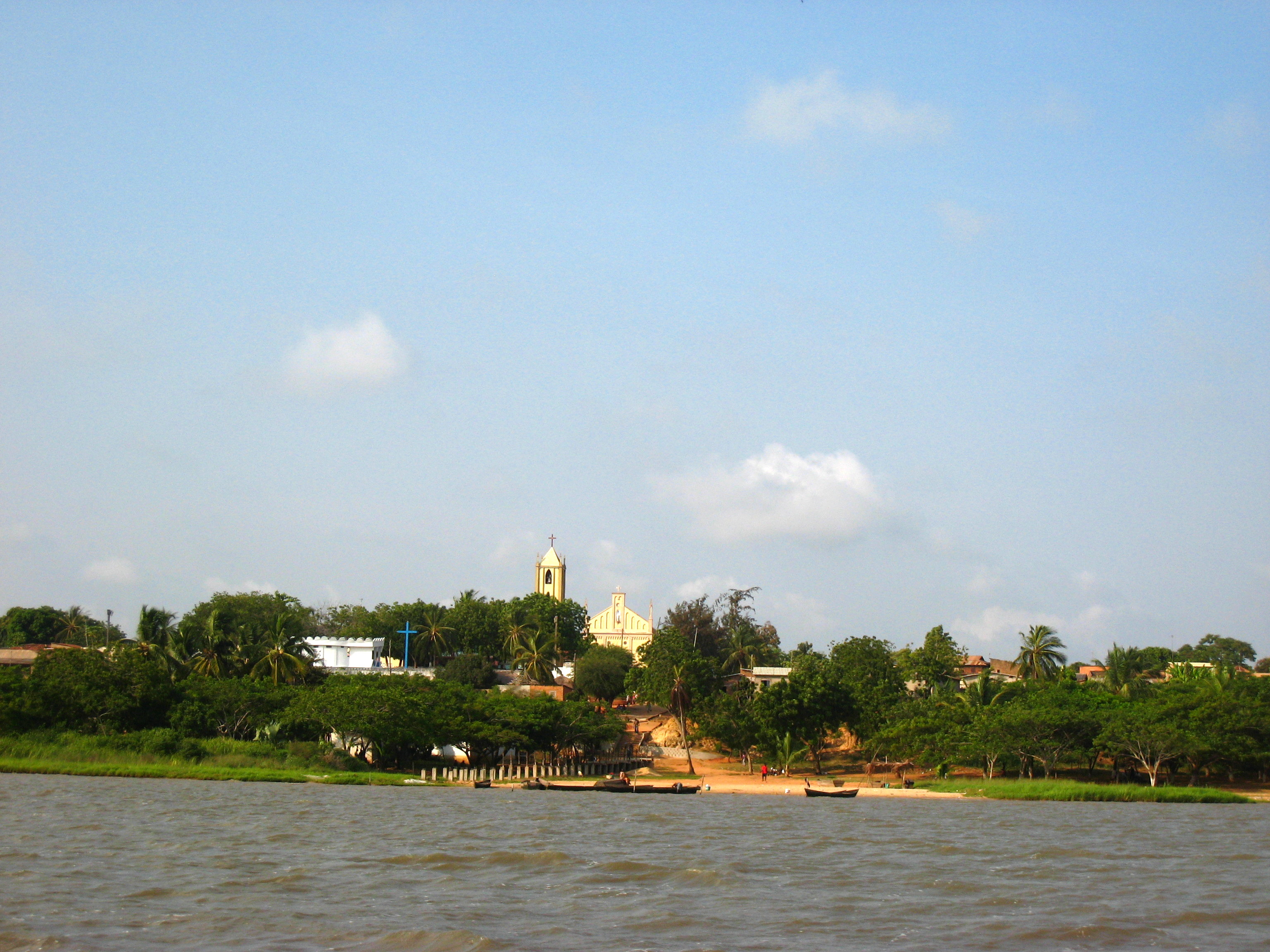
- Togoville
Infobox Settlement
official_name = Togoville
other_name =
native_name =
nickname =
settlement_type =
motto =
imagesize = 300px
image_caption =
flag_size =
image_
seal_size =
image_shield =
shield_size =
image_blank_emblem =
blank_emblem_type =
blank_emblem_size =
mapsize =
map_caption =
mapsize1 =
map_caption1 =
image_dot_
dot_mapsize =
dot_map_caption =
dot_x = |dot_y =
pushpin_
pushpin_label_position =bottom
pushpin_map_caption =Location in Togo
subdivision_type = Country
subdivision_name =
subdivision_type1 = Region
subdivision_name1 =Centrale Region
subdivision_type2 =
subdivision_name2 =
subdivision_type3 =
subdivision_name3 =
subdivision_type4 =
subdivision_name4 =
government_footnotes =
government_type =
leader_title =
leader_name =
leader_title1 =
leader_name1 =
leader_title2 =
leader_name2 =
leader_title3 =
leader_name3 =
leader_title4 =
leader_name4 =
established_title =
established_date =
established_title2 =
established_date2 =
established_title3 =
established_date3 =
area_magnitude =
unit_pref =Imperial
area_footnotes =
area_total_km2 =
area_land_km2 =
area_water_km2 =
area_total_sq_mi =
area_land_sq_mi =
area_water_sq_mi =
area_water_percent =
area_urban_km2 =
area_urban_sq_mi =
area_metro_km2 =
area_metro_sq_mi =
area_blank1_title =
area_blank1_km2 =
area_blank1_sq_mi =
population_as_of =
population_footnotes =
population_note =
population_total =
population_density_km2 =
population_density_sq_mi =
population_metro =
population_density_metro_km2 =
population_density_metro_sq_mi =
population_urban =
population_density_urban_km2 =
population_density_urban_sq_mi =
population_blank1_title =Ethnicities
population_blank1 =
population_blank2_title =Religions
population_blank2 =
population_density_blank1_km2 =
population_density_blank1_sq_mi =
timezone =
utc_offset =
timezone_DST =
utc_offset_DST =
latd=6 |latm=14 |lats= |latNS=N
longd=1|longm=29|longs= |longEW=E
elevation_footnotes =
elevation_m =
elevation_ft =
postal_code_type =
postal_code =
area_code =
blank_name =
blank_info =
blank1_name =
blank1_info =
website =
footnotes =Togoville is a
town in southernTogo , lying on the northern shore ofLake Togo . It was originally known as Togo. The country took its name from the town whenGustav Nachtigal signed a treaty with the town's chief,Mlapa III , in 1884,cite book |last=Cleere |first= Henry |title=Archaeological Heritage Management in the Modern World |pages=123 |year=2005 |publisher=Routledge |isbn= 0415214483] from whichGermany claimed overlordship over what became Togo. [cite book |last= Ebeku |first=Kaniye S. A|title=The Succession of Faure Gnassingbe to the Togolese Presidency: An International Law Perspective |year=2005 |pages=7 |publisher=Stylus Publishing |location= |isbn=9171065547 ]The main features of the town are
Togoville Cathedral , built in 1910, and ashrine to the Virgin Mary to mark where she is said to have appeared on7 November in the early 1970s, but there are also numerousvoodoo shrines and the former royalpalace . In June 1984, a monument commemorating the 100th anniversary of the treaty was erected.References
Wikimedia Foundation. 2010.

