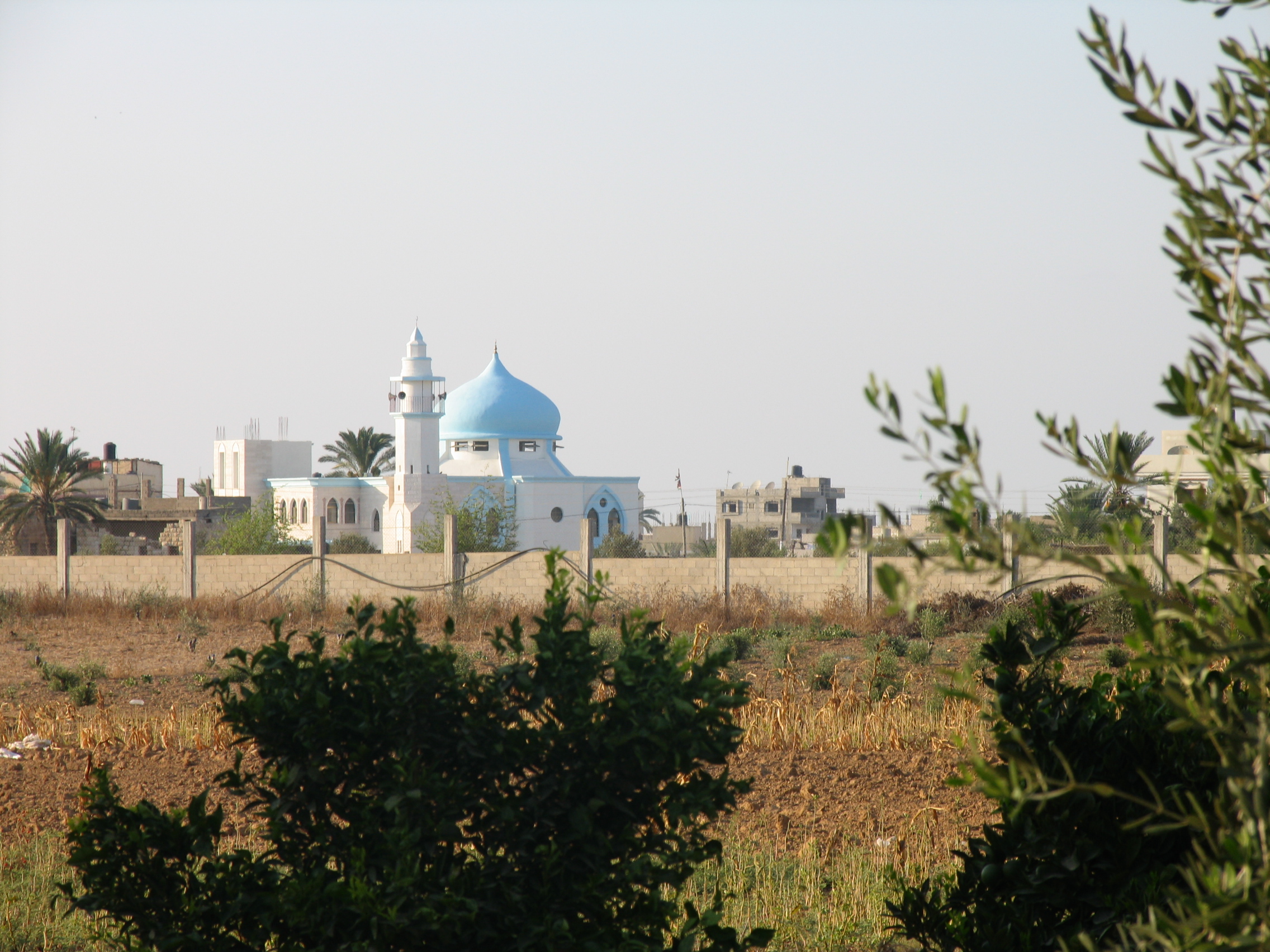
- Abasan al-Kabera
Infobox Palestinian Authority muni
name=Abasan al-Kabera
imgsize=250px
caption=A Mosque in Abasan al-Kabera
arname=عبسان الكبيرة
meaning=
founded=
type=muna
typefrom=
altOffSp=
altUnoSp=
governorate=ky
population=19,000
popyear=2006
area=
areakm=
mayor=Abasan al-Kabera in ( _ar. عبسان الكبيرة) is a
Palestinian town located in theKhan Yunis Governorate in the southernGaza Strip . The town is connected withKhan Yunis city by a local street that crosses other villages likeBani Suheila and Khuza'a. Abasan al-Kabera and the nearby village ofAbasan al-Saghira , have in recent years been built up to each other so that they form a larger urban area around Khan Yunis.Fact|date=October 2007The population of the town is approximately 19,000, according to the
Palestinian Central Bureau of Statistics and depends mostly on agriculture as the main source of income. [ [http://www.pcbs.gov.ps/Portals/_pcbs/populati/pop15.aspx Projected Mid -Year Population for Khan Yunis Governorate by Locality 2004- 2006] Palestinian Central Bureau of Statistics] Moreover, small industry is involved with producing construction supplies like bricks and agricultural implements, while some residents work in commerce. The society is strongly influenced by tribal structure so, there are many extended families such as, Alshawaf, Abu Mustafa, Abu Tair, Abu Dagga, Abu Tabash and Abu Amer. The families generally turn to custom to solve disputes amongst themselves.History
The site of the town was inhabited in the Roman era and 606 AD, and has several ruins dating from those periods. Furthermore, there are also some archaeological sites that related to Islamic era and the period prior the Islam like "Ibrahim" shrine. Some historians link the people of Abasan to the "Abes family".
External links
* [http://www.palestineremembered.com/GeoPoints/_Abasan_al_Kabir_541/ar/index.html Abasan al-Kabera (
Arabic language )]
* [http://maps.google.com/maps/mm?hl=en&q=Abasan&ie=UTF8&ll=31.335604,34.352188&spn=0.064514,0.11673&t=h&z=13&om=1 satellite image]References
Wikimedia Foundation. 2010.
