- Dunlap, Illinois
-
Dunlap Village Country United States State Illinois County Peoria Township Radnor Coordinates 40°51′39″N 89°40′41″W / 40.86083°N 89.67806°W Area 0.4 sq mi (1 km2) - land 0.4 sq mi (1 km2) Density 2,482.3 / sq mi (958 / km2) Timezone CST (UTC-6) - summer (DST) CDT (UTC-5) Postal code 61525 Area code 309 

 Location of Dunlap within Illinois
Wikimedia Commons: Dunlap, Illinois Dunlap, located on Illinois 91, is a small village in Peoria County Illinois, United States. Its population was 926 people as of the 2000 census. Dunlap is part of the Peoria metropolitan area and growth in the city of Peoria is extending towards the village. There are only a handful of businesses in the village's 16 blocks.
Contents
Geography
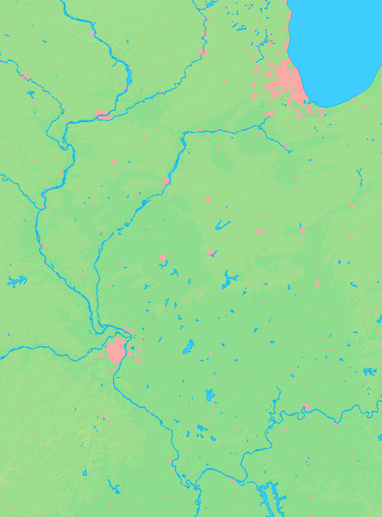
Dunlap is located at 40°51′39″N 89°40′41″W / 40.86083°N 89.67806°W (40.860786, -89.678123).[1]
According to the United States Census Bureau, the village has a total area of 0.4 square miles (1.0 km2), all of it land.
Demographics
As of the census[2] of 2000, there were 926 people, 337 households, and 270 families residing in the village. The population density was 2,482.3 people per square mile (966.3/km²). There were 350 housing units at an average density of 938.2 per square mile (365.2/km²). The racial makeup of the village was 98.52% White, 0.54% African American, 0.22% Native American, 0.51% Asian, and 0.22% from two or more races. Hispanic or Latino of any race were 1.30% of the population.
There were 337 households out of which 40.7% had children under the age of 18 living with them, 64.7% were married couples living together, 11.6% had a female householder with no husband present, and 19.6% were non-families. 16.0% of all households were made up of individuals and 6.5% had someone living alone who was 65 years of age or older. The average household size was 2.75 and the average family size was 3.08.
In the village the population was spread out with 27.1% under the age of 18, 9.6% from 18 to 24, 29.9% from 25 to 44, 23.8% from 45 to 64, and 9.6% who were 65 years of age or older. The median age was 35 years. For every 100 females there were 102.2 males. For every 100 females age 18 and over, there were 92.9 males.
The median income for a household in the village was $56,364, and the median income for a family was $62,000. Males had a median income of $42,083 versus $24,732 for females. The per capita income for the village was $20,407. About 3.1% of families and 6.3% of the population were below the poverty line, including 7.9% of those under age 18 and 12.5% of those age 65 or over.
Schools
Main article: Dunlap Community Unit School District 323The school district has Dunlap High School, 2 middle schools, and 4 elementary schools. Dunlap High School is on the southeast fringe of the village and serves many students from northern areas of Peoria.
References
- ^ "US Gazetteer files: 2010, 2000, and 1990". United States Census Bureau. 2011-02-12. http://www.census.gov/geo/www/gazetteer/gazette.html. Retrieved 2011-04-23.
- ^ "American FactFinder". United States Census Bureau. http://factfinder.census.gov. Retrieved 2008-01-31.
Municipalities and communities of Peoria County, Illinois Cities Chillicothe | Elmwood | Pekin‡ | Peoria | West Peoria

Villages Bartonville | Bellevue | Brimfield | Dunlap | Glasford | Hanna City | Kingston Mines | Mapleton | Norwood | Peoria Heights‡ | Princeville
Townships Unincorporated
communitiesAlta | Cramers | Edelstein | Edgewater | Edwards | El Vista | Elmore | Galena Knolls | High Meadows | Holmes Center | Lake Camelot | Lake Lancelot | Lake of the Woods | Laura | Lawn Ridge | Mardell Manor | Mossville | North Hampton | Oak Hill | Orchard Mines | Pottstown | Renchville | Rome | Rome Heights | Smithville | South Rome | Southport | Trivoli | Tuscarora | West Hallock
Footnotes ‡This populated place also has portions in an adjacent county or counties
Categories:- Populated places in Peoria County, Illinois
- Villages in Illinois
- Peoria metropolitan area

Wikimedia Foundation. 2010.