- Mera, Pastaza
-
Mera — City — Mera 
Flag
SealNickname(s): Atalaya del Oreinte(Orient Watchtower) 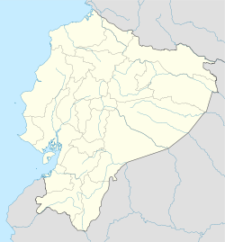
 Mera
MeraCoordinates: 01°22′15″S 78°1′10″W / 1.37083°S 78.01944°WCoordinates: 01°22′15″S 78°1′10″W / 1.37083°S 78.01944°W Country Ecuador Province Pastaza Province Canton Pastaza Canton Named for Juan León Mera Government - Type Mayor and council - Governing body Municipality of Mera - Mayor Msc. Mirian Jurado - City council List of council membersElevation 2,156 m (7,073 ft) Population (2001) - Total 8,800 - Demonym Mereño(a) (approximate population) Time zone ECT (UTC-5) Postal code Area code(s) (0)4 Mera is a town in the eastern foothills of the Ecuadorian Andes. It is also the name of the Canton in Pastaza Province of which it is a part.
It lends its name to Shell Mera, a larger town 4 miles to the east.
Categories:- Populated places in Pastaza Province
- Ecuador geography stubs

Wikimedia Foundation. 2010.