- Pucallpa
Infobox City
official_name = Pucallpa
other_name =
native_name =
nickname =
motto =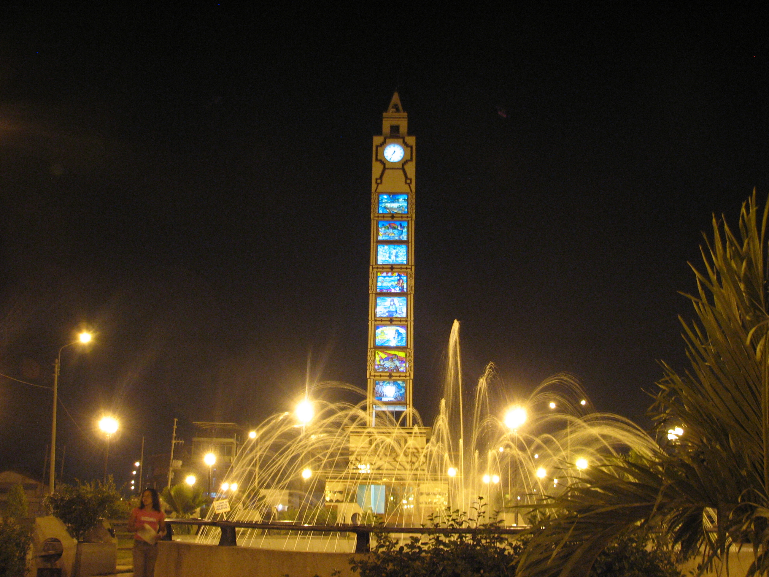
imagesize = 300px
image_caption = Pucallpa Plaza and San Martín Fountain
flag_size = 80px
image_
seal_size =
image_shield = COA Pucallpa City in Coronel Portillo Province.png
image_blank_emblem =
blank_emblem_size =
mapsize = 200px
map_caption = Location in Peru
pushpin_
pushpin_label_position =
subdivision_type = Country
subdivision_name =Peru
subdivision_type1 = Region
subdivision_name1 = Ucayali
subdivision_type2 = Province
subdivision_name2 = Coronel Portillo
subdivision_type3 =
subdivision_name3 =
subdivision_type4 =
subdivision_name4 =
government_type =
leader_title =
leader_name =
established_title = Settled
established_date = 1840s
established_title2 =
established_date2 =
established_title3 =
established_date3 =
area_magnitude =
unit_pref =
area_footnotes =
area_total_km2 =
area_land_km2 =
area_water_km2 =
area_total_sq_mi =
area_land_sq_mi =
area_water_sq_mi =
area_water_percent =
area_urban_km2 =
area_urban_sq_mi =
area_metro_km2 =
area_metro_sq_mi =
population_as_of = 2007
population_footnotes =
population_note = 2007 census
settlement_type =
population_total = 204,772
population_density_km2 =
population_density_sq_mi =
population_metro =
population_density_metro_km2 =
population_density_metro_sq_mi =
population_urban =
population_density_urban_km2 =
population_density_urban_mi2 =
timezone = PET
utc_offset = -5
timezone_DST = PET
utc_offset_DST = -5
latd = 8
latm = 23
lats =
latNS = S
longd = 74
longm = 31
longs =
longEW = W
elevation_footnotes =
elevation_m = 154
elevation_ft =
postal_code_type =
postal_code =
area_code =
website = [http://www.mpcp.gob.pe www.mpcp.gob.pe]
footnotes =Pucallpa (
Quechua : puka hallpa, "red earth") is a city in easternPeru located on the banks of theUcayali River , a major tributary of theAmazon River . It is the capital of theUcayali region , theCoronel Portillo Province and theCalleria District .Pucallpa was founded in the 1840s by
Franciscan missionaries who settled several families of theShipibo-Conibo ethnic group. [es icon Alberto Tauro del Pino, "Enciclopedia Ilustrada del Perú", vol. XIII, p. 2129.] For several decades it remained a small settlement as it was isolated from the rest of the country by theAmazon Rainforest and theAndes mountain range. From the 1880s through the 1920s a railway project to connect Pucallpa with the rest of the country via theFerrocarril Central Andino was started and dropped several time until it was finally abandoned. Pucallpa's isolation finally ended in 1945 with the completion of a highway toLima throughTingo Maria . The highway allowed the commercialization of regional products to the rest of the country, thus improving the economic outlook of the region and its capital, Pucallpa. However, the heavy rainfalls of the Amazon Rainforest remain a problem as they erode the highway and can even cut it by causingflash flood s.Pucallpa is served by air through theCaptain Rolden International Airport and by river through its port "Pucallpillo" near the center of the city. During the high water season, the floating ports of "La Hoyada" and "Puerto Italia" are used for riverine communications. Pucallpa is connected by road toLima via the citiesHuánuco andCerro de Pasco .Sister Cities
*
Miami-Dade County, FL [ [http://www.miamidade.gov/sistercities Miami-Dade County Sister Cities Program] ]ee also
*
TANS Peru Flight 204 crash,August 23 ,2005 .References


Wikimedia Foundation. 2010.