- Qoriwayrachina
-
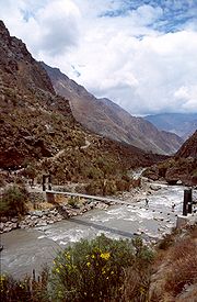 Near Qoriwayrachina
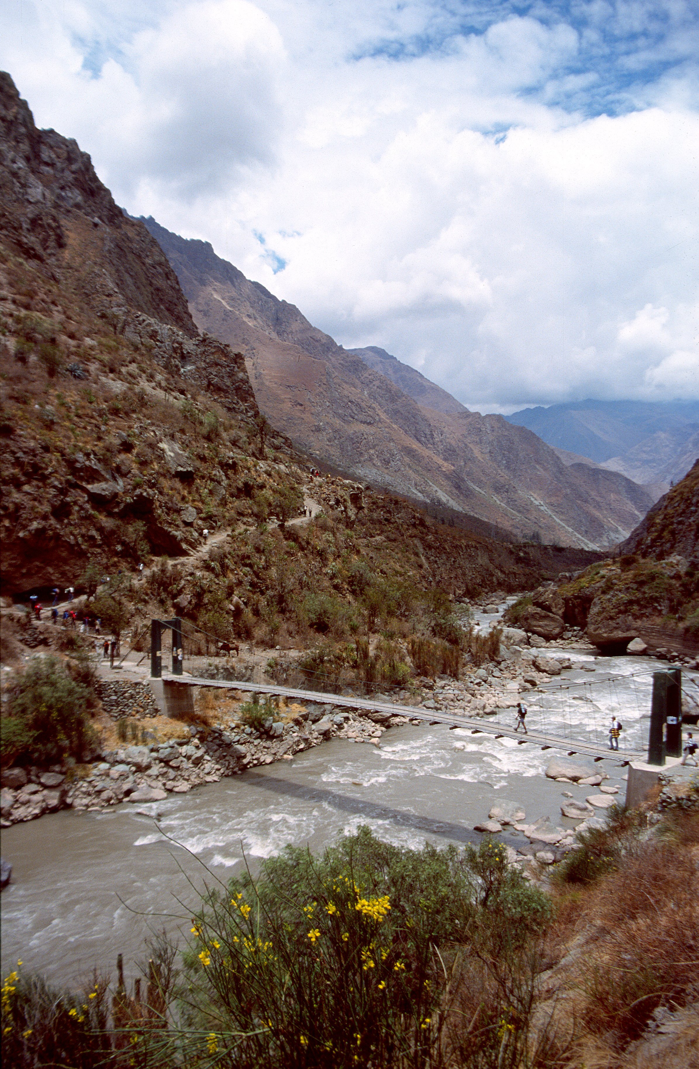
A previously unknown Inca settlement, Qoriwayrachina was found in 2001. Quriwayrachina is Quechua for "where wind was used to refine gold", Close to nearby ancient Inca mines, the surrounding hills are covered with the littered stones from more than 200 structures in this Inca outpost.
Discovery
The British photographer and researcher Peter Frost discovered in 1999 a walking trail of the village. In June 2001 he led a group of archaeologists to the area. They found an area of 6 square kilometers of agricultural terraces, grain storage, cemeteries, grave towers, more than 100 circular buildings, the stump of a pyramid and an 8km long canal , which was used for irrigation. The religious and administrative center was an open plaza, under which a tomb is located.
When the researchers arrived in Corihuayrachina, the city had been looted already. Skeletons were found in the graves were, but no grave goods. The found pottery and stone tools identified with two different time periods. Estimates place the origin of the outpost in the early 13th century, then abandoned, later to be resettled.
References
National Geographic March 2002
Qoriwayrachina article (Spanish)
Archaeological sites in Peru  Acaray | Aspero | Bandurria | Buena Vista | Cahuachi | Cajamarquilla | Carajía | Caral | Cerro Pátapo | Chan Chan | Chankillo | Chavín de Huantar | Choquequirao | Coricancha | Cota Coca | Cumbe Mayo | Cusichaca valley | El Brujo | Garagay | Gran Pajáten | Gran Vilaya | Guitarrero Cave | Huaca de la Luna | Huaca del Sol | Huaca Pucllana | Huayna Picchu | Huilcahuain | Incahuasi, Ayacucho | Incahuasi, Cañete | Intihuatana | Jiskairumoko | Kenko | Kuelap | Kuntur Wasi | Llactapata | Machu Picchu | Miculla petroglyphs | Muyucmarca | Ollantaytambo | Pachacamac | Pikillacta | Pikimachay | Piruro | Písac | Puca Pucara | Pumacocha | Puyupatamarca | Qoriwayrachina | Raqchi | Rumicolca | Sacred Valley | Sacsayhuamán | Sayhuite | Sechin, Peru | Sillustani | Sipán | Tambo Colorado | Tambomachay | Tarahuasi | Tipón | Toquepala Caves | Toro Muerto | Túcume | Uchkus–Inkañan | Vilcabamba | Vitcos | Wari ruins | Wiñay Wayna | Yanaca
Coordinates: 13°20′30″S 72°53′19″W / 13.34167°S 72.88861°WCategories:- Archaeological sites in Peru
- Inca
- History of Peru
- Former populated places in Peru
- Peru geography stubs

Wikimedia Foundation. 2010.