- Egiin Gol
Geobox|River
name = Egiin Gol
native_name = _mn. Эгийн гол
other_name = Eg River
category =
etymology =
nickname =
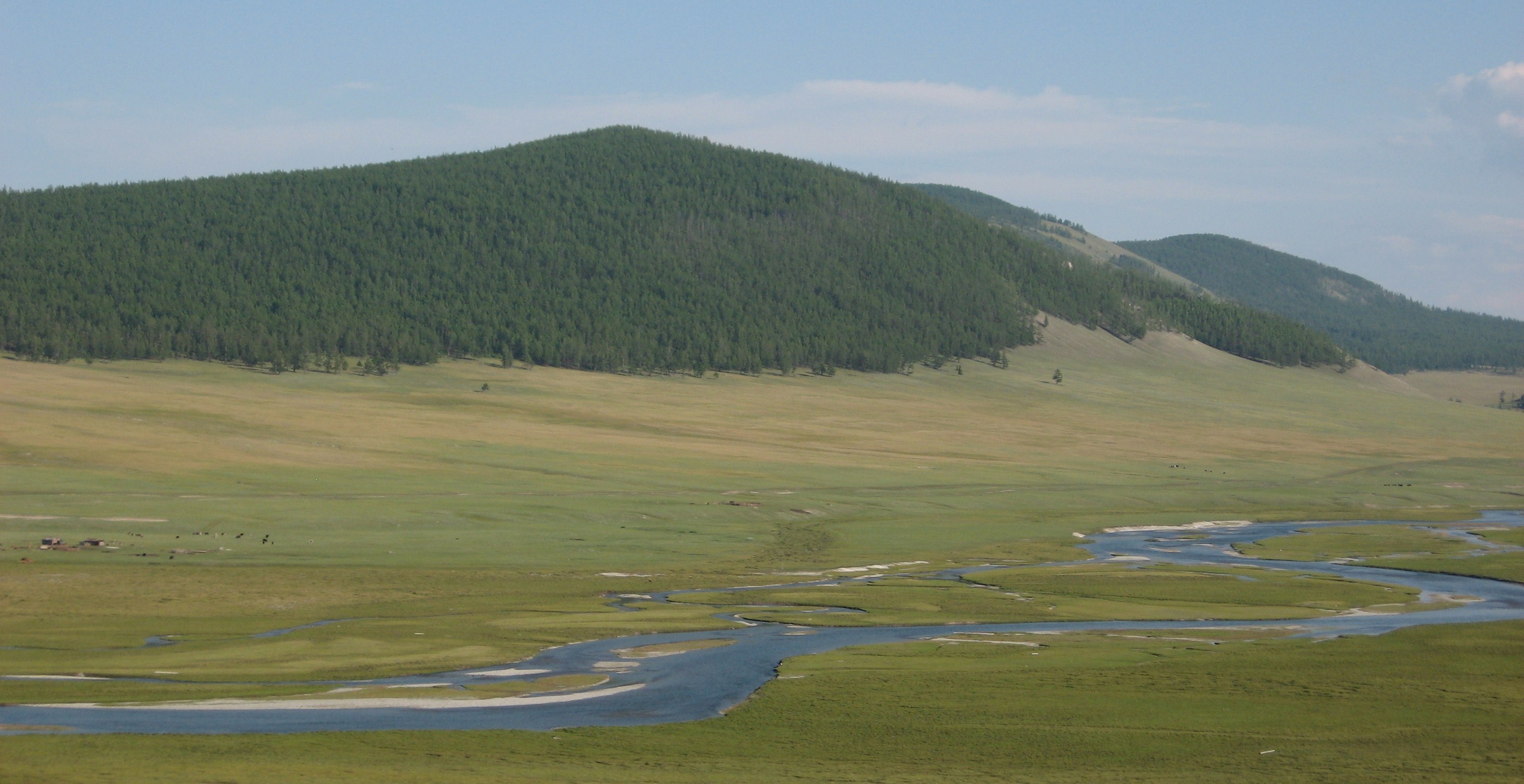
image_caption = Egiin Gol some kilometers south of Khatgal
country = Mongolia
state_type = Aimags
state = Khövsgöl
state1 = Bulgan
region =
district =
municipality_type = Major city
municipality = Khatgal
parent =
tributary_left =Üür Gol
tributary_left1 =Tarvagatai Gol
tributary_right =
city =
landmark =
source = Lake Khövsgöl
source_location = near Khatgal | source_region =
source_country =
source_elevation = 1645
source_lat_d = 50
source_lat_m = 25
source_lat_s = 10
source_lat_NS = N
source_long_d = 100
source_long_m = 09
source_long_s = 10
source_long_EW = E
source1 =
source1_location = | source1_region = | source1_country =
source1_elevation =
source1_lat_d = | source1_lat_m = | source1_lat_s = | source1_lat_NS =
source1_long_d = | source1_long_m = | source1_long_s = | source1_long_EW =
source_confluence =
source_confluence_location = | source_confluence_region = | source_confluence_country =
source_confluence_elevation =
source_confluence_lat_d = | source_confluence_lat_m = | source_confluence_lat_s = | source_confluence_lat_NS =
source_confluence_long_d = | source_confluence_long_m = | source_confluence_long_s = | source_confluence_long_EW =
mouth = Selenge
mouth_location = | mouth_region = | mouth_country =
mouth_elevation =
mouth_lat_d = 49
mouth_lat_m = 23
mouth_lat_s = 15
mouth_lat_NS = N
mouth_long_d = 103
mouth_long_m = 37
mouth_long_s = 30
mouth_long_EW = E
length = 535
width =
depth =
volume =
watershed = 42400
discharge =
discharge_max =
discharge_min =
free = | free_type =
map_caption =
map_background =
map_locator =
map_locator_x =
map_locator_y =
website =
footnotes =The Egiin gol ( _mn. Эгийн гол) is a river in the Khövsgöl and Bulgan provinces in northern
Mongolia . It is the only outflow of Khövsgöl nuur and a tributary of the Selenge river. Wooden bridges exist near Khatgal and in Tünel sum, and a concrete bridge has been built in Erdenebulgan. InBulgan Province there is the bridge betweenTeshig sum andKhutag-Öndör sum.Since the early 1990's there have been efforts to build a hydroelectric dam on this river. On one hand this would bring much needed electricity to area. The movement, however, have been opposed by several different academic communities--archaeology because of the rich and unexplored archaeological data in area; geology because the area has siesmic potential. This will also displace some nomads as it floods some pastures and homesteads.
Wikimedia Foundation. 2010.