- Denison Dam
-
Denison Dam  Location of Denison Dam
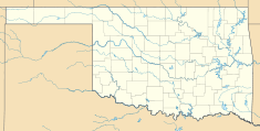

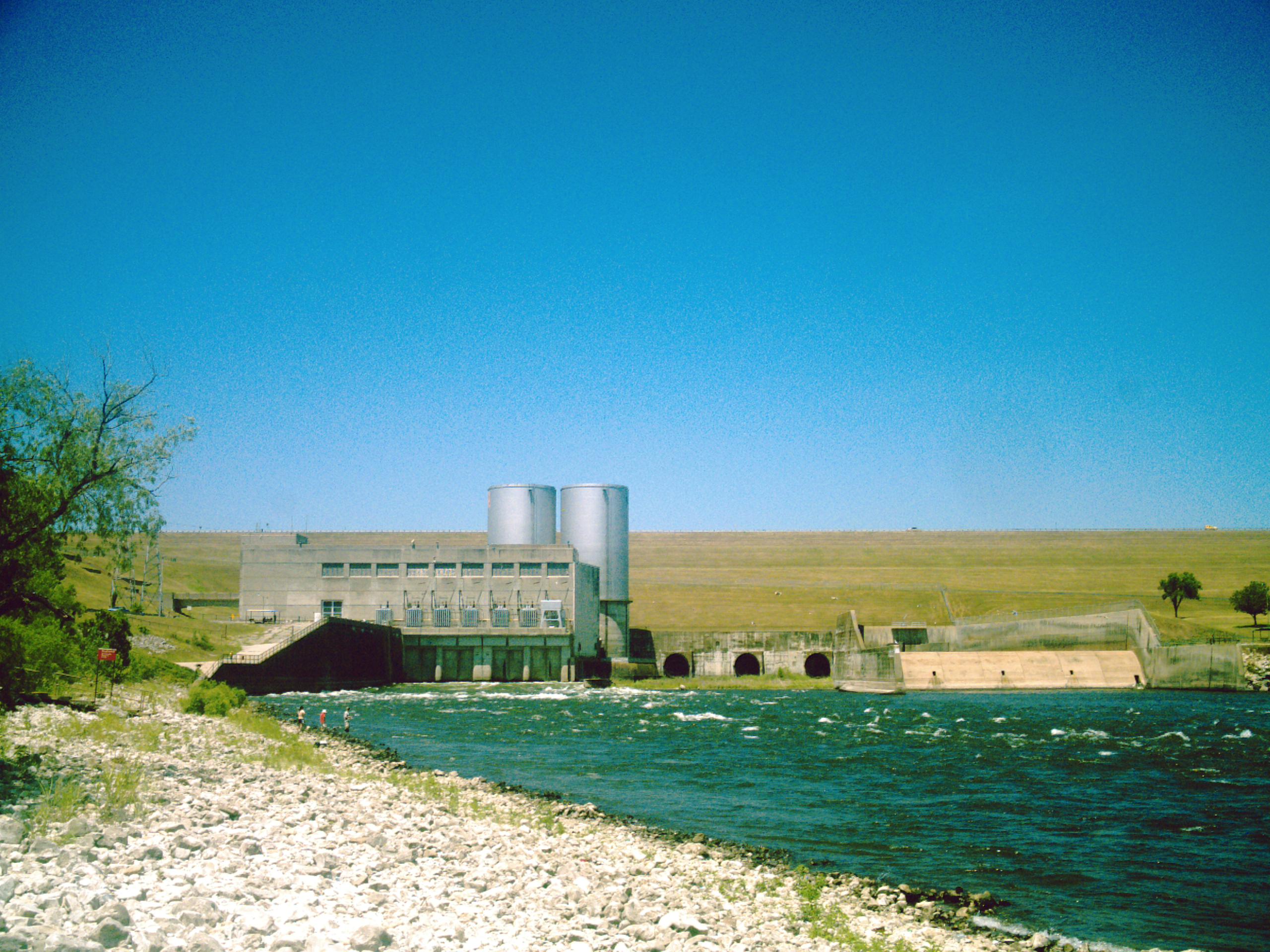
Country United States Location Bryan County, Oklahoma / Grayson County, Texas, USA Coordinates 33°49′5″N 96°34′20″W / 33.81806°N 96.57222°WCoordinates: 33°49′5″N 96°34′20″W / 33.81806°N 96.57222°W Status Operational Owner(s) U.S. Army Corps of Engineers Dam and spillways Type of dam Earth-fill embankment Height 165 ft (50 m) Length 15,200 ft (4,633 m) (not including levees) Impounds Red River of the South Reservoir Creates Lake Texoma Capacity 2,525,568 acre feet (3.115242×10⁹ m3) Surface area 89,000 acres (360 km2) Power station Commission date 1945/1949 Turbines 2 x 40 MW Francis-type Installed capacity 80 MW Denison Dam, also known as Lake Texoma Dam, is a dam located on the Red River between Texas and Oklahoma that impounds Lake Texoma. The purpose of the dam is flood control, water supply, hydroelectric power production, river regulation, navigation and recreation.[1]
History
Completed in 1943 primarily as a flood control project, it was at the time the "largest rolled-earth fill dam in the world".[2] Only three times has the lake reached the dam's spillway at a height of 640 ft (195.07 m) above sea level, first in 1957, then in 1990, and most recently, in July 2007. It takes its name from Denison, Texas, just downriver from the damface.
Denison Dam contains a total of 18.8 million cubic yards (14,000,000 m³) of rolled-earth fill. It produces roughly 250,000 megawatt hours of electricity per year, while Lake Texoma provides nearly 125,000 acre feet (154,000,000 m3) of water storage for local communities under five permanent contracts.
In addition to two federally managed wildlife-refuge areas, Denison Dam has made possible 47 recreational areas managed by the U.S. Army Corps of Engineers, two state parks -- one in Oklahoma and one in Texas -- as well as 80,000 acres (320 km²) of open public land used for hunting.
[...] General Lucius D. Clay was the principal manager of the project.[3]References
- ^ "Lake Texoma". U.S. Army Corps of Engineers. http://www.swt.usace.army.mil/PROJECTS/civil/civil_projects.cfm?number=21. Retrieved 26 October 2011.
- ^ "History & Heritage of Civil Engineering: Denison Dam". American Society of Civil Engineers. http://live.asce.org/hh/index.mxml?lid=49&versionChecked=true. Retrieved April 7, 2010.
- ^ "Denison Dam: Facts & Figures". American Society of Civil Engineers. http://www.asce.org/history/resources.cfm?ProjectID=49&CategoryCode=. Retrieved April 7, 2010.
External links
- Army Corp on floodstage, Retrieved July 6, 2007
Categories:- Buildings and structures in Bryan County, Oklahoma
- Buildings and structures in Grayson County, Texas
- Dams in Oklahoma
- Dams in Texas
- Historic Civil Engineering Landmarks
- Hydroelectric power plants in Texas
- Hydroelectric power plants in Oklahoma
- Earth-filled dams

Wikimedia Foundation. 2010.