- Rue Marcadet
Paris_streetbox
arr_num=18e
streetname=Rue Marcadet
x=130
y=15
paris_
arr1=XVIIIe
quarter=Goutte d'Or ,Montmartre
begins=rue Stephenson
beginsnum=61
begins1=rue Ordener
beginsnum1=1
ends=Avenue de St. Ouen
endsnum=86
ends1=rue Championnet
endsnum1=233
length=2030
width=12
creation=Mediaeval
denomination=September 22, 1856
area_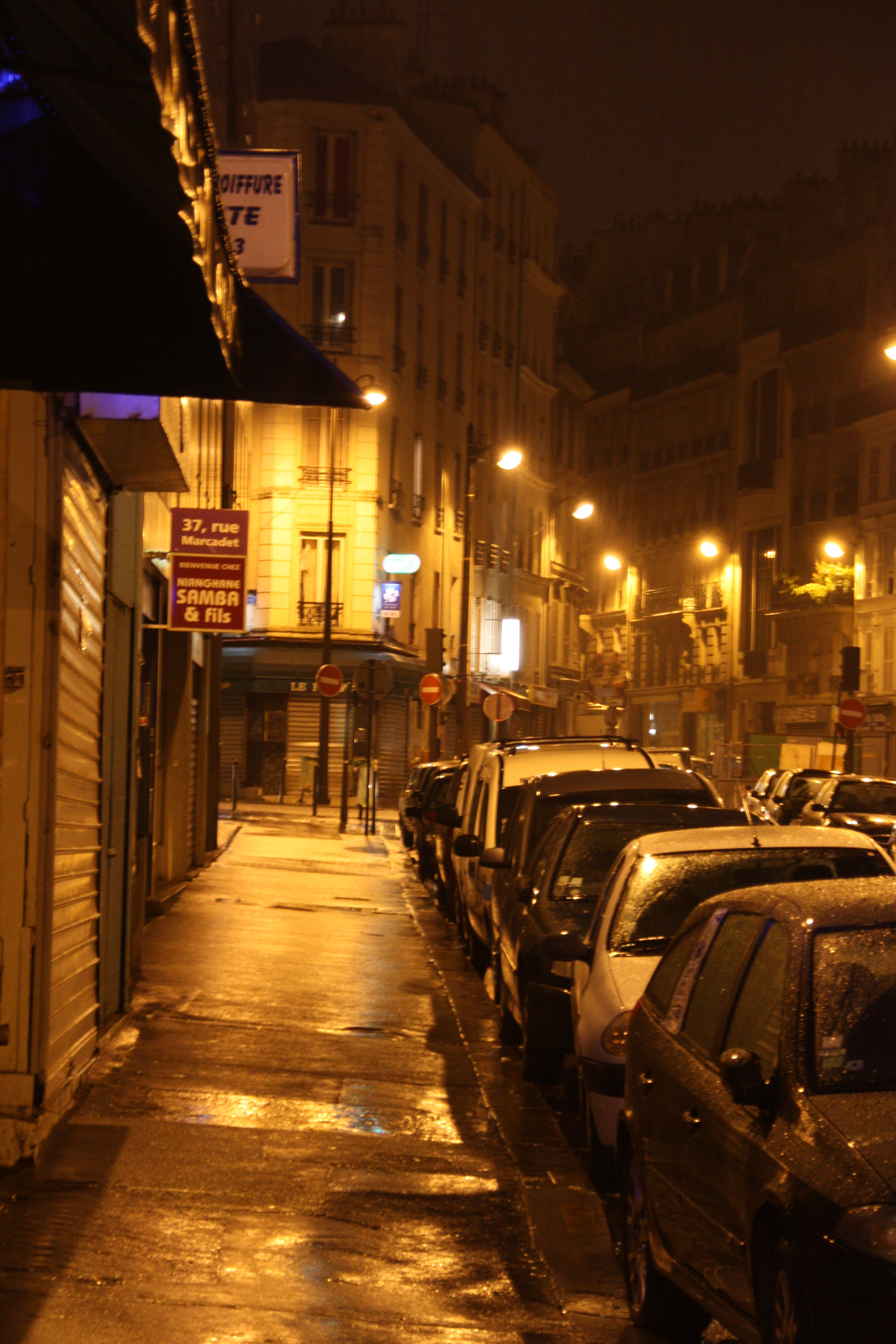
caption=rainy evening in Rue MarcadetThe Rue Marcadet is a road that stretches the North side of the Butte Montmartre. There is some discussion on the origin of the name, but is seems to be derived from a hamlet on the way named "La Mercade" or "la Marcadé". In the middle ages it was part of the "chemin des Bœufs", which went all the way to
Clichy-la-Garenne . The last part used to be the main road between the communities of theBatignolles andMontmartre . The "chemin des Bœufs" is partially shown on the map created by Jouvin de Rochefort (1672) and shown in its entirety on the map by Roussel (1730). Before 1867, the rue Marcadet begun at therue de la Chapelle , where it also connected to therue Riquet . This part now is part of therue Ordener , although the bridge over the tracks of theGare du Nord is still known as the Pont Marcadet. In the beginning of the twentieth century, there was also a train stop by that name, that mainly served the (still existing) railway works to the right of that bridge. The continuation of the road between the avenue St. Ouen andboulevard Bessières , now known as therue de La Jonquière , also carried the name rue Marcadet between 1868 and 1890.Access
Metro stations Marcadet-Poisonniers and Guy Môquet
External links
* [www.paris.fr http://www.v1.paris.fr/carto/nomenclature/5995.nom.html]
Wikimedia Foundation. 2010.