- Vrakuňa
Geobox | settlement
name = Vrakuňa
native_name =
other_name =
category = Borough
etymology =
official_name =
motto =
nickname =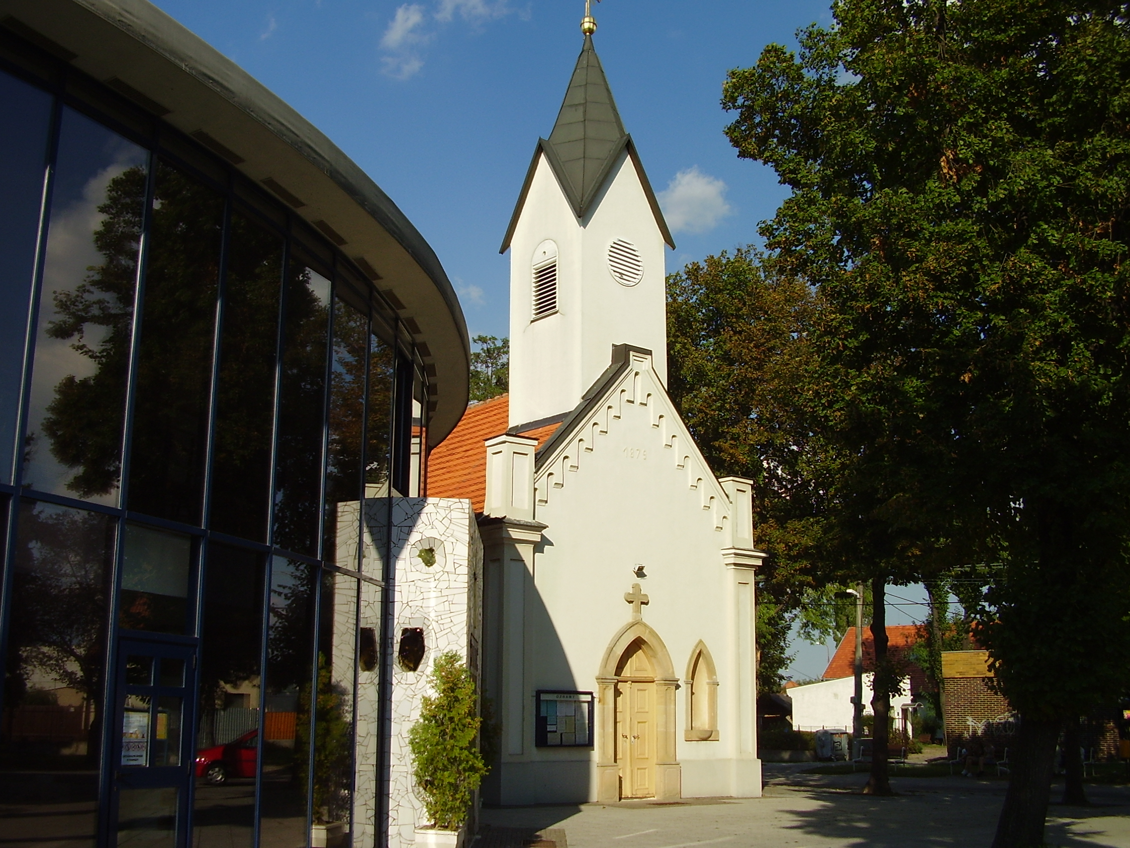
image_caption =
symbol =
country = Slovakia
country_
state =
region = Bratislava
district = Bratislava II
municipality =
part =
river = Little Danube
location =
elevation = 130
lat_d = 48
lat_m = 09
lat_s = 00
lat_NS = N
long_d = 17
long_m = 13
long_s = 00
long_EW = E
coordinates_type = region:SK_type:city
highest =
highest_lat_d =
highest_long_d =
lowest =
lowest_lat_d =
lowest_long_d =
area = 10.297
area_round = 3
population = 18996
population_date = 2005
population_density = auto
established =1279
established_type = First mentioned
date =
mayor =
timezone =
timezone_DST =
postal_code = 82704
area_code = 421-02
code = BA
code_type = Car plate
free =
map_background = Slovakia - background map.png
map_locator = Slovakia
website = [http://www.bratislava-vrakuna.sk/ www.bratislava-vrakuna.sk]
commons =
footnotes =Source [ [http://www.statistics.sk/mosmis/eng/run.html Mestská a obecná štatistika SR ] ]Vrakuňa ( _de. Fragendorf, _hu. Vereknye) is a borough of
Bratislava ,Slovakia . It is divided by into two parts by theLittle Danube river.History
The first written mention of Vrakuňa was in
1279 as a village named "Verekne", which was its name until1948 , when it was renamed to the current name. It became an official borough of Bratislava onJanuary 1 1972 .Vrakuňa is divided into three unofficial local parts: "Dolné hony", "Ketelec" and "Lieskovec".
References


Wikimedia Foundation. 2010.