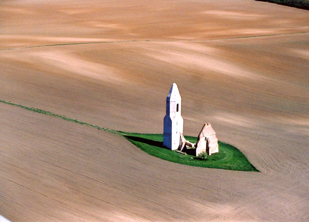
- Somogyvámos
Infobox Settlement

image_caption = The "Pusztatemplom"
subdivision_type = Country
subdivision_name = HUN
timezone=CET
utc_offset=+1
timezone_DST=CEST
utc_offset_DST=+2|official_name=Somogyvámos
subdivision_type1=County
subdivision_name1=Somogy
area_total_km2=25.02
population_total=801
population_as_of=2004
population_density_km2=32.01
postal_code_type=Postal code
postal_code=8699
area_code=85
pushpin_
pushpin_label_position =
pushpin_map_caption =Location of Somogyvámos
pushpin_mapsize =
latd=46.57040
longd=17.68041Somogyvámos is a village in
Somogy county,Hungary . It is about 25 km north ofKaposvár , and about 25km south ofFonyód .History
The surrounding lands were inhabited since the Avaric rule (6th/7th century). Its first written mention is from 1237, as "
Csopak ", which is now a name of a different town about 80-100 km away. The village was destroyed during the ottoman rule and was inherited by the neighbouring village "Vámos", hence the current name, with the "Somogy " prefix, to distinguish it from the other "-vámos" named places. Vámos had slowly "moved" to the current place it lies and sometime in history changed its name to Somogyvámos.The beauty of the local environment attracted the Hungarian "Hare Krishnas", the local branch of theInternational Society for Krishna Consciousness and bought lands in the neighbouring valley in the 1990s, where they built up the "Krishna Valley Indian Cultural Centre and Biofarm" ( _hu. Krisna-völgy Indiai Kulturális Központ és Biofarm).ee also
*
Krisna-völgy Indiai Kulturális Központ és Biofarm External links
* [http://www.somogy.hu/somogyvamos/ Official homepage of Somogyvámos]
* [http://www.terkepcentrum.hu/index.asp?go=map&tid=21856 Street map (Hungarian)]
Wikimedia Foundation. 2010.

