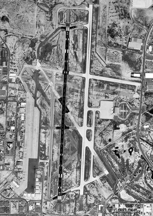
- Laredo Air Force Base
Infobox Airport
name = Laredo Air Force Base
nativename =
nativename-a =
nativename-r =

image-width =
caption =
IATA = LRD
ICAO = KLRD
type = Military
owner =
operator =U.S. Air Force
city-served =
location = Laredo, Texas
elevation-f = 508
elevation-m = 155
coordinates = Coord|27|32|37|N|99|27|41|W|type:airport
website =
metric-elev =
metric-rwy =
r1-number = 14/32
r1-length-f = 5,928
r1-length-m = 1,807
r1-surface =Concrete
r2-number = 17L/35R
r2-length-f = 8,236
r2-length-m = 2,510
r2-surface = Concrete
r3-number = 17R/35L
r3-length-f = 7,830
r3-length-m = 2,387
r3-surface =Asphalt
stat-year =
stat1-header =
stat1-data =
stat2-header =
stat2-data =
footnotes =The Laredo Air Force Base, formerly Laredo Army Air Field was a military instalation in
Laredo, Texas . The Laredo Army Air Field began operations as aWorld War II military installation in November 1942. It had a gunnery range and a gunnery school. The field became inactive in late 1945, and the property reverted to the city of Laredo, which used it as a municipal airport in 1950. The base was reactivated and renamed Laredo Air Force Base in April 1952 to provide basic flight training for jet pilots, including pilot trainees from 24 countries. The Laredo Air Force Base utilized the vast cattle ranges to the northwest of the city as aerial gunnery range. Units stationed in LAFB were 38th Flying Training Wing and3640th Pilot Training Wing . It was closed permanently in 1973 and was turned into theLaredo International Airport .
Wikimedia Foundation. 2010.
