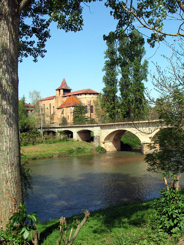
- Arros River
Infobox River | river_name = Arros

image_size = 200px
caption = The Arros inSaint-Sever-de-Rustan
origin =Baronnies of Pyrenees
mouth =Adour
coord|43|39|44|N|0|1|41|W|name=Adour-Arros|display=inline,title
basin_countries =France
length = 131 km
elevation =
discharge = 9 m³/s
watershed = 947 km²The Arros, is a right tributary of the
Adour , in the Southwest ofFrance .Name
The name "Arros" is based on the root Arr- 'stone' and the suffix
-os .Geography
The Arros rises in the
Baronnies of Pyrenees , southeast ofBagnères-de-Bigorre , below theSignal de Bassia (1 921 m).It flows north through a narrow valley defended by the castle of Mauvezin and the
bastide ofTournay . It joins the Adour before it turn west, upstream fromRiscle .Départements and towns
*
Hautes-Pyrénées :Bourg-de-Bigorre ,Tournay ,Chelle-Debat
*Gers :Montégut-Arros ,Villecomtal-sur-Arros , Plaisance.Main tributaries
*(L) Esqueda, from
Banios
*(L)Luz , fromLies
*(L) Arredou, inTournay
*(L) Arret Daban or Arret Devant,
*(L) Arret Darré, inGonez
*(R)Bouès , fromCapvern References
*http://www.geoportail.fr
* [http://sandre.eaufrance.fr/app/chainage/courdo/htm/Q0--0250.php?cg=Q0--0250 The Arros at the Sandre database]
Wikimedia Foundation. 2010.
