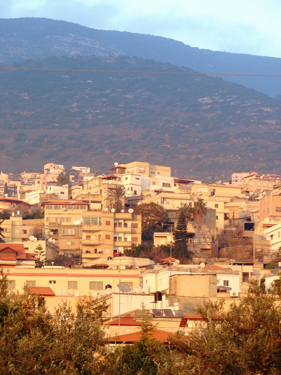
- Rameh
Infobox Israel municipality
name=Rameh
imgsize=200
hebname=ראמה
arname=الرامه
maening=
founded=17th Century
type=lc
typefrom=2005
stdHeb=
altOffsp=Rame
altUnos=al-Rama
district=north
population=7,500
popyear=2005
area_dunam=6118
areak=6.1
mayor=Rameh ( _ar. الرامة, _he. ראמה; also spelled ar-Rame or ar-Rama) is a local council in the North District of
Israel . It is entirely made up of Arabs and has a mostly Christian (51%) andDruze (29%) population as well as a smallerMuslim minority of 20%. It is located a five kilometers east of the cities ofShaghur andKarmiel . [http://www.crwflags.com/FOTW/flags/il-lcrme.html Rame (Israel)] Gutterman, Dov. CRW Flags.]History
Edward Robinson identifies Rameh with the ancient Ramah of Asher, citing its location and ancient sarcophagi discovered on a hill outside of the village as evidence. [Robinson, Edward. (1856) [http://books.google.com/books?id=j584Vpqg-KAC&pg=PA68&dq=Sa%27sa%27+Palestine#PPA65,M1 Biblical Researches in Palestine, 1838-52] J. Murray: pp.64-65.] Rameh was a major town during the rule of the
Crusaders .The modern town of Rameh was founded in the 17th century according to local tradition. It was one of the largest villages in the
Galilee during that period while it was under the control of theOttoman Empire . In 1923, Rameh became the first village inPalestine to receive self-governing status granted by theBritish Mandate and had the largest olive orchards in the area. It was captured byHaganah forces in 1948, becoming a part of Israel, and later achieving local council status in 1954.Persons associated with Rameh
*
Archbishop Theodosios (Hanna) of Sebastia - Born in Rameh.
*Samih al-Qasim - Resident of Rameh.
*Angelina Fares - Resident of Rameh.See also
*
List of Arab localities in Israel References
Wikimedia Foundation. 2010.
