- Cumberland Basin (Bristol)
-
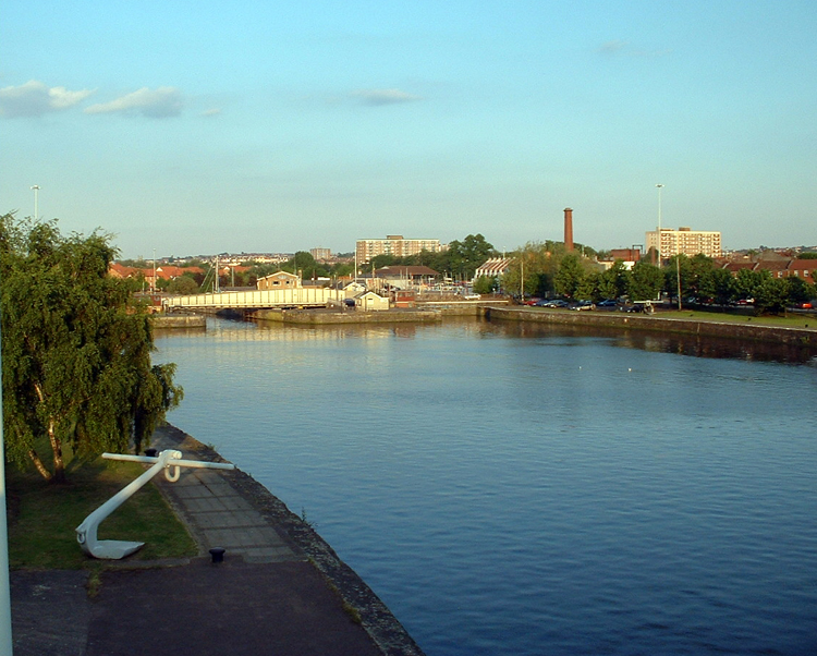
Cumberland Basin  The basin looking eastwards
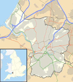

Location: Hotwells, Bristol Coordinates: 51°26′53″N 2°37′10″W / 51.44806°N 2.61944°WCoordinates: 51°26′53″N 2°37′10″W / 51.44806°N 2.61944°W Established: 1804-9 For more details on Cumberland Basin, see Bristol Harbour#Construction_of_the_floating_harbour.The Cumberland Basin is the main entrance to the docks of the city of Bristol, England. It separates the areas of Hotwells from the tip of Spike Island.
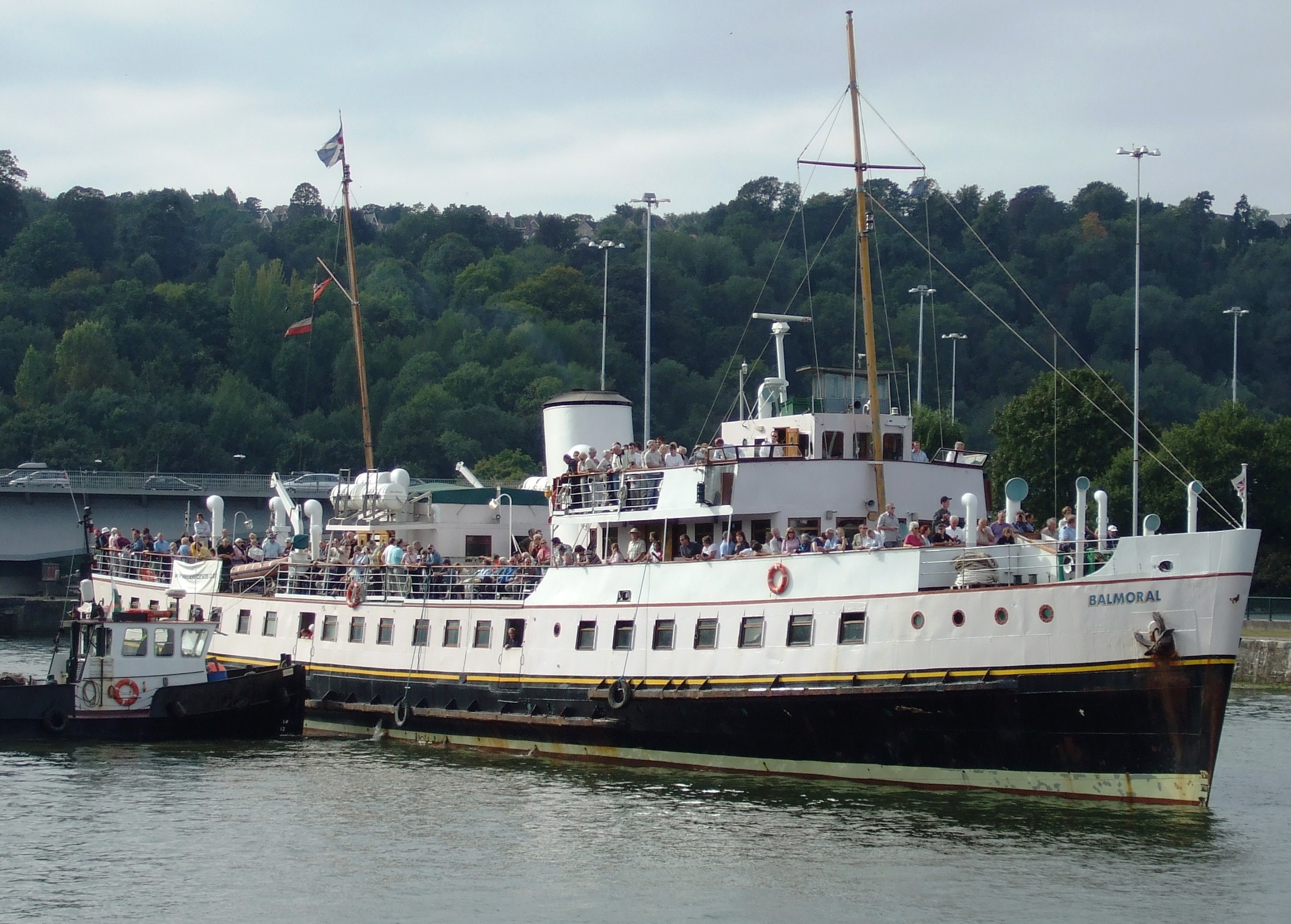
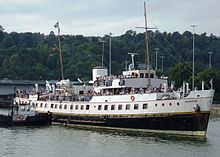 MV Balmoral in Cumberland Basin
The River Avon never flowed through the Cumberland Basin. Before the 19th century improvements and the construction of the non-tidal Floating Harbour, the Avon flowed through the tidal harbour and out through the future location of the Underfall Yard. When the basin and Floating Harbour were constructed the river was diverted through the New Cut, bypassing the harbour entirely.
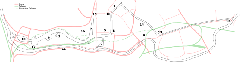
- Prince's Wharf, including the Bristol Industrial Museum, Pyronaut
- Dry docks: SS Great Britain, the Matthew
- St Augustine's Reach, Pero's Bridge
- Bathurst Basin
- Queen Square
- Bristol Temple Meads railway station
- Castle Park
- Redcliffe Quay and Redcliffe Caves
- Baltic Wharf marina
- Cumberland Basin & Brunel Locks
- The New Cut
- Netham Lock, entrance to the Feeder Canal
- Totterdown Basin
- Temple Quay
- The Centre
- Canons Marsh, including Millennium Square and At-Bristol
- Underfall Yard
- Bristol Bridge
External links
Categories:- Bristol Harbourside
- Bristol geography stubs


Wikimedia Foundation. 2010.