Siegerswoude — 53°5′40″N 6°14′28″E / 53.09444, 6.24111 … Wikipédia en Français
Sigerswâld — Siegerswoude 53°5′40″N 6°14′28″E / 53.09444, 6.24111 … Wikipédia en Français
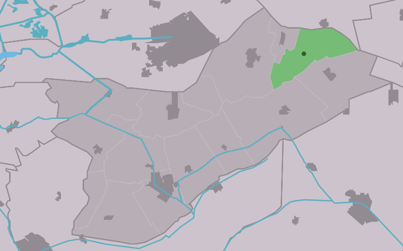
Opsterland — Opsterlân Municipality … Wikipedia
Tytsjerksteradiel — Tietjerksteradeel Municipality The church of Jistrum, build in the 13th century … Wikipedia
List of places in the Netherlands — This is an alphabetical list of places (cities, towns, villages) in the Netherlands. Lists per province can be found at:* List of towns in Groningen * List of towns in Friesland * List of towns in Drente * List of towns in Overijssel * List of… … Wikipedia
Sigerswâld — Infobox Settlement official name = Sigerswâld mapsize = 280px subdivision type = Country subdivision name = flagicon|Netherlands Netherlands subdivision type1 = Province subdivision name1 = flagicon|Friesland Friesland settlement type = Hamlet… … Wikipedia
Beetsterzwaag — Gemeinde Opsterland Flagge Wappen Provinz … Deutsch Wikipedia
Opsterland — Gemeinde Opsterland Flagge Wappen Provinz Friesland … Deutsch Wikipedia
Bakkefean — Bakkeveen 53°4′54″N 6°15′26″E / 53.08167, 6.25722 … Wikipédia en Français
Bakkeveen — 53°4′54″N 6°15′26″E / 53.08167, 6.25722 … Wikipédia en Français