- Padstow, New South Wales
Infobox Australian Place | type = suburb
name = Padstow
city = Sydney
state = nsw
caption = Padstow War Memorial
lga =City of Bankstown
postcode = 2211
pop =
area =
propval =
est =
stategov = East Hills
fedgov =Division of Banks
near-nw = Condell Park
near-n = Bankstown
near-ne = Punchbowl
near-w = Revesby
near-e = Riverwood
near-sw = Revesby Heights
near-s = Padstow Heights
near-se = Peakhurst
dist1 = 22
dir1 = south-west
location1=Sydney CBD Padstow is a
suburb , in south-westernSydney , in the state ofNew South Wales ,Australia . Padstow is located 22kilometres south-west of theSydney central business district in the local government area of theCity of Bankstown . Padstow Heights is a separate suburb to the south, on theGeorges River . Padstow is colloquially known as "Paddy" or "The Stow".Padstow is a mostly residential suburb bounded on the north by Bankstown and on the east by
Salt Pan Creek , which is a stream feeding into theGeorges River . TheM5 South Western Motorway traverses the northern end of the suburb, which is also the location of a number of light industrial facilities.Interestingly, a number of the streets in the vicinity of Padstow railway station are named for Egyptian themes, including Arab Road, Cairo Avenue, Pyramid Avenue and Sphinx Avenue. To the east of Padstow, on the border with Revesby there is also a group of streets with planet names Uranus Road, Mars Street and Neptune Street.
History
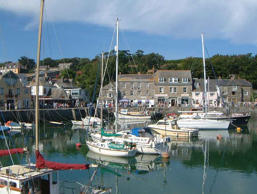
Padstow was first named Padstow Park Estate after a town called
Padstow inCornwall ,England . It was named for being the "holy place of St Petrock" (not to be confused with St Patrick), an important Cornish saint. The estate included the grants of Simon McGuigan (130 acres), Joseph Cunningham (50 acres) and Michael Conroy (40 acres). Timber-getting and farming were the main activities here.The Padstow Park post office opened in 1927 and the first school opened in January 1929. The railway station opened on the 21st December 1931, which encouraged development in the area, especially afterWorld War II . The suburb’s name was changed to Padstow in 1939. ["The Book of Sydney Suburbs", Compiled by Frances Pollon, Angus & Robertson Publishers, 1990, Published in Australia ISBN 0-207-14495-8, page 197]Commercial Area
Padstow shopping centre is located around Padstow railway station. Most of the shops are located on the southern side, around the Howard Road and Padstow Parade intersection, but more shops are located on the northern side past Memorial Drive on Cahors Road.
Transport
Padstow railway station is on the
City Rail East Hills line , west of Riverwood and east of Revesby.There are several bus routes that pass through Padstow, all operated by
Veolia NSW (aConnex company). The 926 travels from Revesby Heights to Bankstown, via Padstow and Revesby. The 927 travels from One Tree Point (the southernmost tip of Padstow Heights) to Bankstown. (These services developed from routes established byMcVicar's Bus Service .) The 948 travels from Bankstown to Hurstville, via Padstow and Peakhurst. The 962/963 travels from Padstow to Miranda via Menai. These routes are subject to change mid-2006 with the introduction of new routes in an attempt to increase efficiency by Veolia NSW and the State Government.Churches
* [http://www.sttherese.net/ St Therese Catholic Church] .
* [http://www.padstowbaptist.org.au Padstow Baptist Community Church]
* [http://www.padstowcong.com Padstow Congregational Church]
* [http://padstowchinesecong.org Padstow Chinese Congregational Church] , [http://www.lifegate.org.au Lifegate Community Church]
* St Johns Anglican Church [http://www.padstowanglican.org.au Padstow Anglican Church]
* Padstow Uniting Churchchools
Padstow has four schools - three public schools and one Catholic school. All are K-6, with students then moving to schools in the nearby suburbs of Revesby, Picnic Point, East Hills or Milperra. [http://www.padstownth-p.schools.nsw.edu.au Padstow North Public School] is located on Watson Road, with an access from Halcyon Avenue. [http://www.padstowpk-p.schools.nsw.edu.au Padstow Park Public School] is located on Faraday Road but is bounded by Doyle Road and Segers Avenue. [http://www.padstowpk-p.schools.nsw.edu.au Padstow Park Public School] gains its title from the original name of the suburb. It is the oldest school in the suburb. The other State owned school is on Chamberlain Road at Padstow Heights. Padstow Heights Public school down the road from St Therese Primary School. Is large but lacks facilities.
[http://www.stt.padstow.syd.catholic.edu.au St Therese Primary School] is on Chamberlain Road but also has an entrance from Harvey Avenue. St Therese Primary School is a single stream school which was opened in 1963. The presbytry for the church is also on Harvey Road.
port
The suburb is home to two Junior Soccer Clubs: Padstow United whose home ground is Playford Park at the intersection of Gibson, Cahors, Watson and Sphinx Roads and the Padstow Hornets which play at Stuart Street Reserve on Stuart Street. In the 1960s the suburb also supported additional soccer clubs including the now defunct clubs of Padstow Pirates Soccer Club (later renamed South Bankstown Soccer Club) and the Padstow Hotspurs Soccer Club. The Padstow Pirates and South Bankstown Soccer clubs also used Playford Park as their home ground.
Padstow Park, which is on the corner of Davies Road and Banks Road, is the home ground of the Padstow Panthers Junior Rugby League Club. It was also the home ground of the now defunct St Lukes Junior Rugby League Club. Padstow is also home to Doug Frost Swim School, where
Ian Thorpe first began swimming.Notable Residents
Australian Rugby League player Brad Woolford is a well known Padstow local. He was a member of the
Illawarra Steelers from 1982-1987, and played for Australia in the English test of 1984 as a winger. Fact|date=May 2008Politics
For federal elections, Padstow is located in the marginal Labor federal electoral division of Banks. This seat is currently held by
Daryl Melham , of theAustralian Labor Party , he has held it since the 1990 elections and was last re-elected in the 2004 elections. The seat has been held continuously by Labor since it was proclaimed in 1949.For NSW state elections, Padstow is located in the safe Labor held state electoral district of East Hills. This seat is currently held by Alan Ashton.
References
External links
* [http://web.archive.org/http://www.colin-forbes.co.uk/locations/power/padstow.shtml Padstow, Cornwall, UK] - Most recent functioning edition from the
Internet Archive .
Wikimedia Foundation. 2010.