- Parafield Gardens, South Australia
Infobox Australian Place | type = suburb
name = Parafield Gardens
city = Adelaide
state = sa
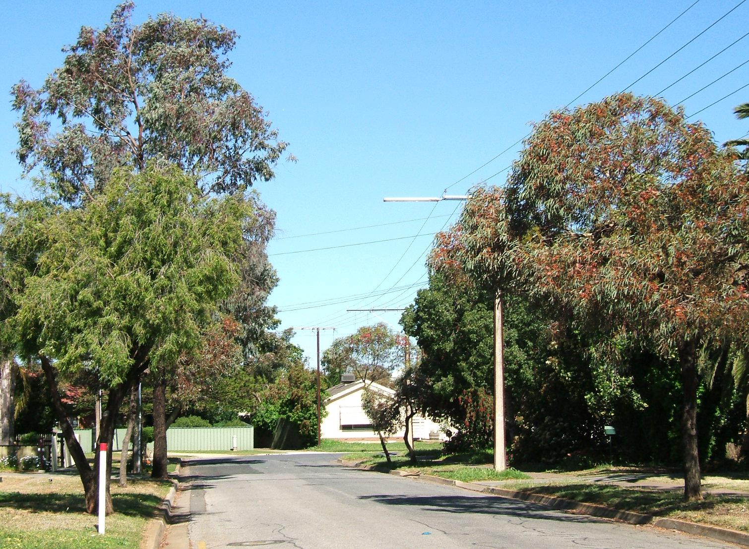
caption = Street in Parafield Gardens
lga = City of Salisbury
lga2 =
postcode = 5107
pop = 14,653 [Census 2001 AUS|id=SSC42261|name=Parafield Gardens (State Suburb)|accessdate=2007-06-30]
area = 7.1
propval = $190,000 (Q1 2006) [cite web| url=http://www.reisa.com.au/binaries?|author=Real Estate Institute of South Australia|year=2006| title=SA House prices, Balance out|month=March|accessdate=2006-06-25]
stategov = Wright
fedgov = Makin
near-nw=Paralowie
near-n=Salisbury Downs
near-ne=Salisbury South
near-w=Green Fields
near-e=Parafield
near-sw=Green Fields
near-s=Mawson Lakes
near-se=Parafield
dist1 =7
location1= AdelaideParafield Gardens is a suburb of
Adelaide ,South Australia . The suburb is largely residential, with a pocket of industrial land in the southwest corner. There are two small shopping centres in the area, one onSalisbury Highway which has aFoodland (South Australia) , and another on Sheperdson Road which has anIndependent Grocers of Australia .History
Aboriginal people occupied the land around Parafield Gardens prior to European settlement. An Aboriginal heritage site within the Greenfield Industrial Estate indicates that Aboriginal settlement may have existed in the area for thousands of years.
In 1881 the government proposed the creation of a general cemetery on the land now occupied by the Pine Lakes Estate (to the south of the intersection of
Salisbury Highway and Kings Road). The plan was abandoned, and in 1906 the land became used as an experimental agricultural farm, followed by a poultry farm in 1911. At this stage, the area between Salisbury Highway and Martins Road was known as Parafield Farm, although this name transformed over the years to become Parafield Gardens.In 1958, Matters & Co. offered residential land in the area bounded by Salisbury Highway, Shepherdson Road, Sutherland Avenue, and Catalina Avenue. In the 1970s the
South Australian Housing Trust began building properties in the area.chools
Parafield Gardens has four schools in its area and three of which are public .Karrendi Primary School is a public primary school next to the shopping centre with the Foodland. [ [http://www.karrendips.sa.edu.au/ Karrendi Primary School] ] .Parafield Gardens High School is a public secondary school situated next to Parafield Gardens Primary School. Parafield Gardens Primary School is a public primary school like Karrendi except larger.Holy Family Catholic School is a private primary school near Parafield Gardens Primary School and Parafield Gardens High School. All of the schools are on Sheperdson Road, except Karrendi Primary School, which is on Bradman Road, a quiet side street on the other side of
Salisbury Highway .References
Wikimedia Foundation. 2010.