- Batizovský štít
Geobox|Mountain
name = Batizovský štít
native_name =
other_name =
category =
etymology =
nickname =
country = Slovakia
country_
state =
region = Prešov
district = Poprad
municipality =
range = High Tatras
location =
elevation = 2448
prominence =
lat_d = 49| lat_m = 09| lat_s =55 | lat_NS = N
long_d = 20| long_m = 07| long_s =26 | long_EW = E
coordinates_type =
geology =
orogeny =
period =
biome =
plant =
animal =
public =
access =
ascent =Karol Jurzyca (1900)
free =

map_caption = Location in Slovakia
map_background = Slovakia demis.png
map1 = Prešov Region - outline map.svg
map1_caption = Location in the Prešov Region
map1_background = Prešov Region - background map.png
website =
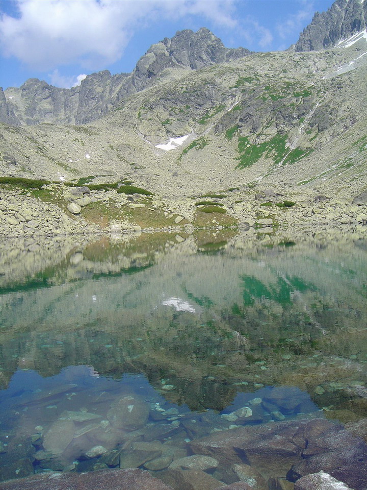
footnotes =Batizovský štít is a double-peak 2,448 metres high mountain in the
High Tatras inSlovakia . It is named after the village ofBatizovce because until 1947, it lied within itscadastral area.It isn't accessible for tourists by a marked trail, but trail passes around the Batizovské pleso lake under the mountain.

Wikimedia Foundation. 2010.