- Gloucester, New South Wales
Infobox Australian Place | type = town
name = Gloucester
state = nsw
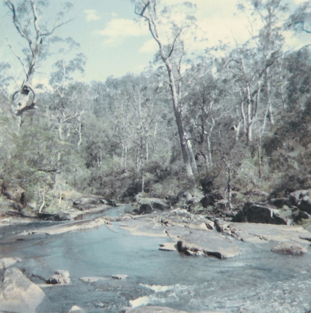
caption = The Gloucester River commences in the Barrington Mountains (3000 feet).
lga =Gloucester Shire
postcode =
est = 1855
pop = 3000
elevation=
maxtemp =
mintemp =
rainfall =
stategov = Upper Hunter
fedgov = Paterson
dist1 =
location1=Gloucester is a town in the dairy and beef cattle country of the Manning district on the Mid North Coast of the state of
New South Wales ,Australia in theGloucester Shire .It is located on the North Coast railway line and can be accessed from Newcastle (145 kilometres SE) via theBucketts Way . It stands on the Avon River just below its junction with the Gloucester River.History
The Gloucester district was first visited by Robert Dawson, Chief Agent for the
Australian Agricultural Company - or the A.A. Company as it was generally known - in 1826. Settlement occurred in the 1830s. The township of Gloucester was first established in 1855, primarily for sheep farming, however it became apparent that the land was not entirely suitable. The four main industries of the Gloucester area are: tourism, timber, cattle farming and, now, coal. The timber industry has been prevalent in Gloucester since the late 19th century, and it and cattle farming are still major industries in and around Gloucester; both dairy and beef cattle.For most of the twentieth century it boasted two cinemas in the main thoroughfare - Church Street: The "Star" (opposite "Permewans", closed c1968), and the "Majestic Theatre" (built early 1920s). The "Majestic" did not permanently close its doors until c1980 and although the building still stands it is now a shopping arcade. The district has a weekly newspaper, "The Gloucester Advocate".
In March 1972 His Excellency the Governor of New South Wales, Sir Roden Cutler, VC, etc., and Lady Cutler toured the district and attended a formal Civic Reception at the Gloucester Bucketts Motel.
In 1876, gold was discovered in Copeland, a small town north-west of Gloucester. Copeland became a large town of over 3,000 inhabitants due to the gold discovery and the large number of red cedar (
Toona australis ) trees. However, the population has since dwindled to a population of a few hundred.The
Australian Agricultural Company had originally been awarded mineral rights to half a million acres (2,000 km²) between theKaruah River and theManning River which covered the Gloucester district. The company employed surveyors in 1856-7 to undertake a trial survey for a railway betweenPort Stephens andStroud, New South Wales and north passing what became Gloucester to the Manning River. At the time it was felt that with the "formidable obstructions" from ranges and rivers a line would be impracticable and construction was not proceeded with, and coal mining was abandoned before it had commenced.However, in 1995, Gloucester Coal, originally Stratford Coal, began mining in Stratford, a small town 12 km south of Gloucester, and has since spread throughout the region, possibly having acquired the AA Co's rights, as the mining activity is confined to their original boundaries.
References
* Webber, J, and Wylie, R.F., "Colliery Railways of the Australian Agricultural Company" in "Australian Railway Historical Society Bulletin" no.365, March 1968, vol.XIX (New Series)
External links
* [http://www.gloucester.org.au/ Gloucester Information Page]
Wikimedia Foundation. 2010.