Ostredok

Ostredok
Ostredok
Mountain
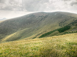
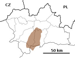
Country Slovakia
Region Žilina
Districts Martin, Ružomberok
Range Greater Fatra
Elevation 1,592 m (5,223 ft)
Coordinates 48°54′6.2″N 19°04′44″E / 48.901722°N 19.07889°E / 48.901722; 19.07889
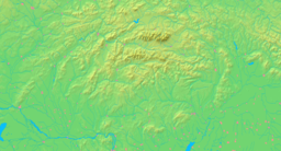
Location in Slovakia
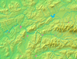
Location in the Žilina Region

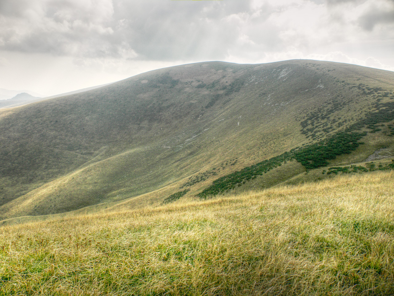
Ostredok is the highest mountain of the Greater Fatra Range, Slovakia, measuring 1,592 m (5,223 ft). It lies in the Hôlna Fatra part of the range which is typical by its deforested and rather flat gentle summits not rising much above the main ridge. Its south-western is rather steep with big danger of snow avalanches in winter. There are excellent views at most of the Slovak mountains.

References

  • Brandos, Otakar (2004). Veľká Fatra, Šípska Fatra. Ostrava: SKY. ISBN 80-86774-02-3. 
  • VKÚ Harmanec (2003). Veľká Fatra. Edícia turistických máp 1:50000. Harmanec: VKÚ. ISBN 80-8042-044-0. 

Wikimedia Foundation. 2010.

Игры ⚽ Нужно сделать НИР?

Look at other dictionaries:

  • Ostredok — Sp Òstredokas Ap Ostredok L k. Slovakijoje (D. Fatros kk.) …   Pasaulio vietovardžiai. Internetinė duomenų bazė

  • Hotel Ostredok — (Демяновская долина,Словакия) Категория отеля: 3 звездочный отель Адрес: Demanovska D …   Каталог отелей

  • Greater Fatra — Geobox | Mountain Range name = Greater Fatra native name = Veľká Fatra other name = category = image caption = Typical terrain of the Hôľna Fatra etymology = nickname = country = Slovakia country state = region = Žilina region1 = Banská Bystrica… …   Wikipedia

  • Große Fatra — p1p5 Große Fatra Bralná Fatra Höchster Gipfel Ostredok ( …   Deutsch Wikipedia

  • Veľká Fatra National Park — Geobox|Protected Area name = Greater Fatra native name = Veľká Fatra other name = category = National Park etymology = official name = Národný park Veľká Fatra motto = nickname = image caption = Rakytov Mountain symbol = country = Slovakia… …   Wikipedia

  • Ploská — Geobox|Mountain name = Ploská native name = other name = category = etymology = nickname = country = Slovakia state = region = Žilina district = Martin municipality = range = Greater Fatra location = elevation = 1532.1 | elevation round = 1… …   Wikipedia

  • Velka Fatra — 48.919.0833333333331592Koordinaten: 48° 54′ N, 19° 5′ O …   Deutsch Wikipedia

  • Veľká Fatra — 48.919.0833333333331592Koordinaten: 48° 54′ N, 19° 5′ O …   Deutsch Wikipedia

  • Westkarpaten — p1p5 Westkarpaten Höchster Gipfel Gerlachovský štít (Gerlsdorfer Spitze) (2.655  …   Deutsch Wikipedia

  • Остредок — Остредок …   Википедия

Share the article and excerpts

Direct link
Do a right-click on the link above
and select “Copy Link”