- Volkhov River
Geobox River
name = Volkhov River
native_name = Peка Волхов
other_name =
other_name1 =

image_size =
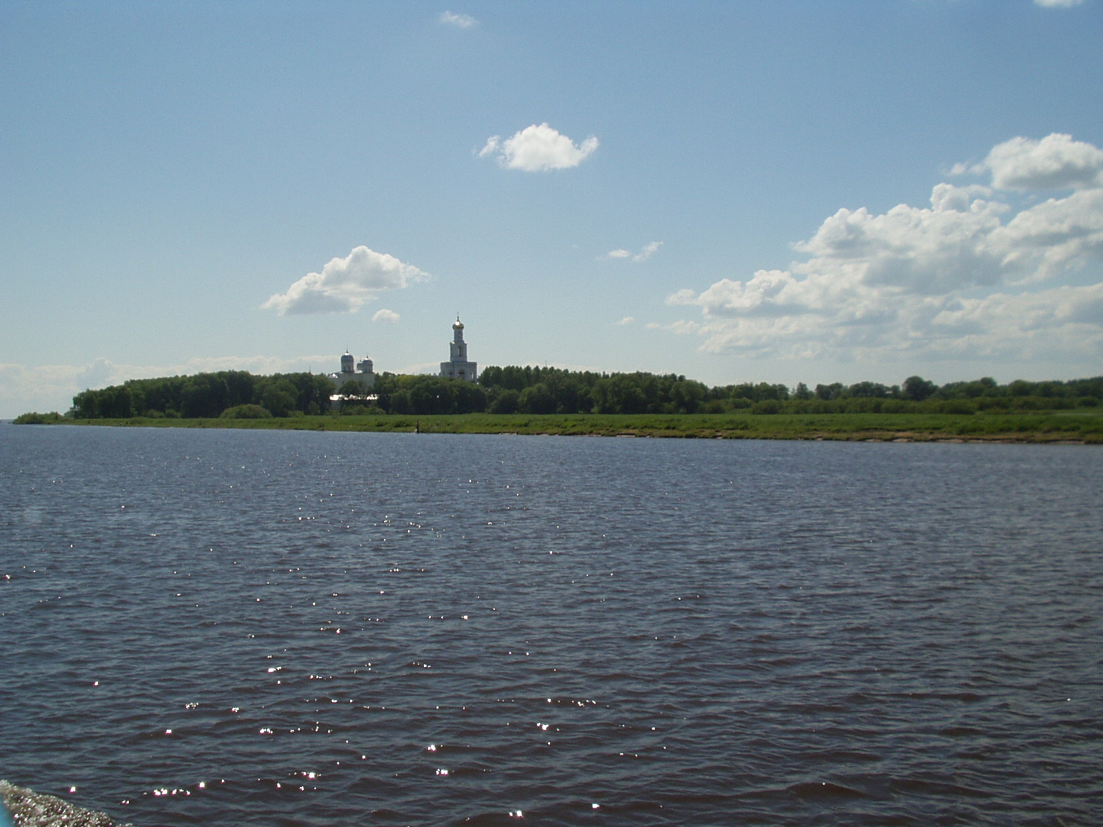
image_caption = Volkhov River nearVelikiy Novgorod , and theYuriev Monastery .
country =Russia
country1 =
state =
state1 =
region =Novgorod Oblast
region1 =Leningrad Oblast
district =
district1 =
city =Velikiy Novgorod
city1 =Kirishi
city2 =Volkhov
city3 =Novaya Ladoga
city4 =
city5 =
length = 224
watershed = 80200
discharge_location = mouth
discharge = 580
discharge_max = 2900
discharge_min = 44
discharge1_location =
discharge1 =
source_name =Lake Ilmen
source_location =
source_district =
source_region =
source_state =
source_country =
source_lat_d = 58
source_lat_m = 28
source_lat_s =
source_lat_NS = N
source_long_d = 31
source_long_m = 17
source_long_s =
source_long_EW = E
source_elevation = 18
source_length =
mouth_name =Lake Ladoga
mouth_location =
mouth_district =
mouth_region =
mouth_state =
mouth_country =
mouth_lat_d = 60
mouth_lat_m = 07
mouth_lat_s =
mouth_lat_NS = N
mouth_long_d = 32
mouth_long_m = 19
mouth_long_s =
mouth_long_EW = E
mouth_elevation = 5
tributary_left =
tributary_left1 =
tributary_right = Vishera
tributary_right1 =
free_name =
free_value =
map_size =
map_caption =Volkhov ( _ru. Во́лхов) is a
river inNovgorod Oblast andLeningrad Oblast in northwesternRussia .Geography
The Volkhov flows out of
Lake Ilmen north intoLake Ladoga , the largest lake ofEurope . It is the second largesttributary of Lake Ladoga. It is navigable over its whole length. Discharge is highly variable depending primarily on the level of Lake Ilmen. The Volkhov is reported to reverse the direction of its flow in its upper section in exceptional circumstances. The river freezes up in late November, and breaks up in early April.The level of water is regulated by the
dam of theVolkhov hydroelectric plant (the first Soviet regional hydroelectric dam opened on December 19, 1926 in the framework of theGOELRO plan ) situated 25 km upstream from the mouth of the river. Apart from hydroelectric generating purposes, the dam serves to facilitate navigation in the lower part of the river previously known for itsrapid s.The upstream part of the Volkhov is connected to the Msta River by the
Siversov Canal bypassing Lake Ilmen. The downstream part is connected with the Neva, theSyas River , and theSvir River by theNew Ladoga Canal bypassing Lake Ladoga.Main tributaries are: Vishera (right), joins the Maly Volkhovets armlet; Kerest (left); Oskuya (right); Pchezhva (right); Tigoda (left); Chyornaya (right); Vloya (left); Olomna (left)
History
Despite its relatively small size, Volkhov has played a large role in Russian history and economy. In recognition of that, a figure representing the Volkhov appears among the allegorical monuments to the four major rivers of Russia on the
rostral column s in the ensemble of theOld Saint Petersburg Stock Exchange and Rostral Columns .In the mid-9th century, the Volkhov was a heavily populated trade artery of the Varangian-dominated
Rus' Khaganate . It was a vital part of the most important trade route connecting Northern Europe to the Orient, by way of the Volga (Volga trade route ) and Dnieper (trade route from the Varangians to the Greeks ). The ancient Russian capitalStaraya Ladoga and one of the principal Russian medieval citiesVelikiy Novgorod are located along the Volkhov.After entering the Volkhov near Gorchakovshchina and
Lyubsha , commercial vessels of the Vikings cast anchor at the major trade emporium of Aldeigja (Ladoga). Then they rowed upstream past a series of rapids, guarded by the fortified settlements atNovye Duboviki and Gorodishche. There was another outpost at Kholopy Gorodok, 13 km north of present-day Velikiy Novgorod, or rather Holmgard, which was founded near the point where the Volkhov flows from Lake Ilmen."Most of these were initially small sites, probably not much more than stations for re-fitting and resupply, providing an opportunity for exchange and the redistribution of items passing along the river and caravan routes". ["A Comparative Study of Thirty City-state Cultures" (ed. by
Mogens Herman Hansen ). Kgl. Danske Videnskabernes Selskab, 2000. Page 266.] It seems on the whole likely that such pre-urban settlements gave the country its Norse name ofGardariki .References
Wikimedia Foundation. 2010.
