- Kuiu Island
Infobox Islands
name = Kuiu
image caption =
image size =
locator
Location map|Alaska|lat=56.466667|long=-134.016667
map_custom = yes
native name =
native name link =
nickname =
location =Pacific Ocean
coordinates = coord|56|28|N|134|1|W|display=inline,title
archipelago =Alexander Archipelago
total islands =
major islands =
area = convert|747.556|sqmi|km2|abbr=on
length = convert|65|mi|km|abbr=on
width = convert|6|-|23|mi|km|abbr=on
highest mount =
elevation =
country = United States
country admin divisions title = State
country admin divisions = flag|Alaska
country admin divisions title 1 = Census Area
country admin divisions 1 = Wrangell-Petersburg Census Area
country admin divisions title 2 =
country admin divisions 2 =
country largest city =
country largest city population =
population = 10
population as of = 2000
density = 0.005
ethnic groups =
additional info =Kuiu Island is an island in the
Alexander Archipelago in southeasternAlaska , at coord|56|28|N|134|1|W|. It lies betweenKupreanof Island , to its east, andBaranof Island , to its west. The island is 105 km (65 miles) long, and 10-23 km (6-23 miles) wide. It has 1,936.16 km² (747.556square mile s) of land area, making it the 15th largest island in the United States. The population was 10 persons at the 2000 census. It is separated from Baranof Island by theChatham Strait .The
Cape Decision Light is located on Kuiu Island.References
* [http://factfinder.census.gov/servlet/DTTable?_bm=y&-context=dt&-ds_name=DEC_2000_SF1_U&-CONTEXT=dt&-mt_name=DEC_2000_SF1_U_P001&-tree_id=4001&-transpose=N&-redoLog=true&-all_geo_types=N&-_caller=geoselect&-geo_id=100$10000US022800001001054&-geo_id=100$10000US022800001001055&-geo_id=100$10000US022800001001056&-geo_id=100$10000US022800001001057&-geo_id=100$10000US022800001001058&-geo_id=100$10000US022800001001059&-geo_id=100$10000US022800001001060&-geo_id=100$10000US022800001001061&-geo_id=100$10000US022800001001071&-geo_id=100$10000US022800001001072&-search_results=15000US022800001001&-format=&-_lang=en&-show_geoid=Y Kuiu Island: Blocks 1054 thru 1061 and 1071 thru 1072, Census Tract 1, Wrangell-Petersburg Census Area, Alaska] United States Census Bureau
Gallery
 Cape Decision is a lighthouse located on Kuiu Island.
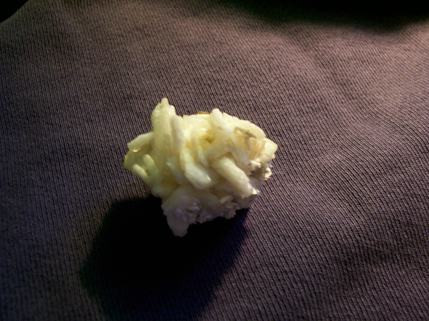
Barrerite_from_Rocky_Pass,_Kuiu_Island._
Wikimedia Foundation. 2010.