- Smestad (station)
Infobox T-bane station
name = Smestad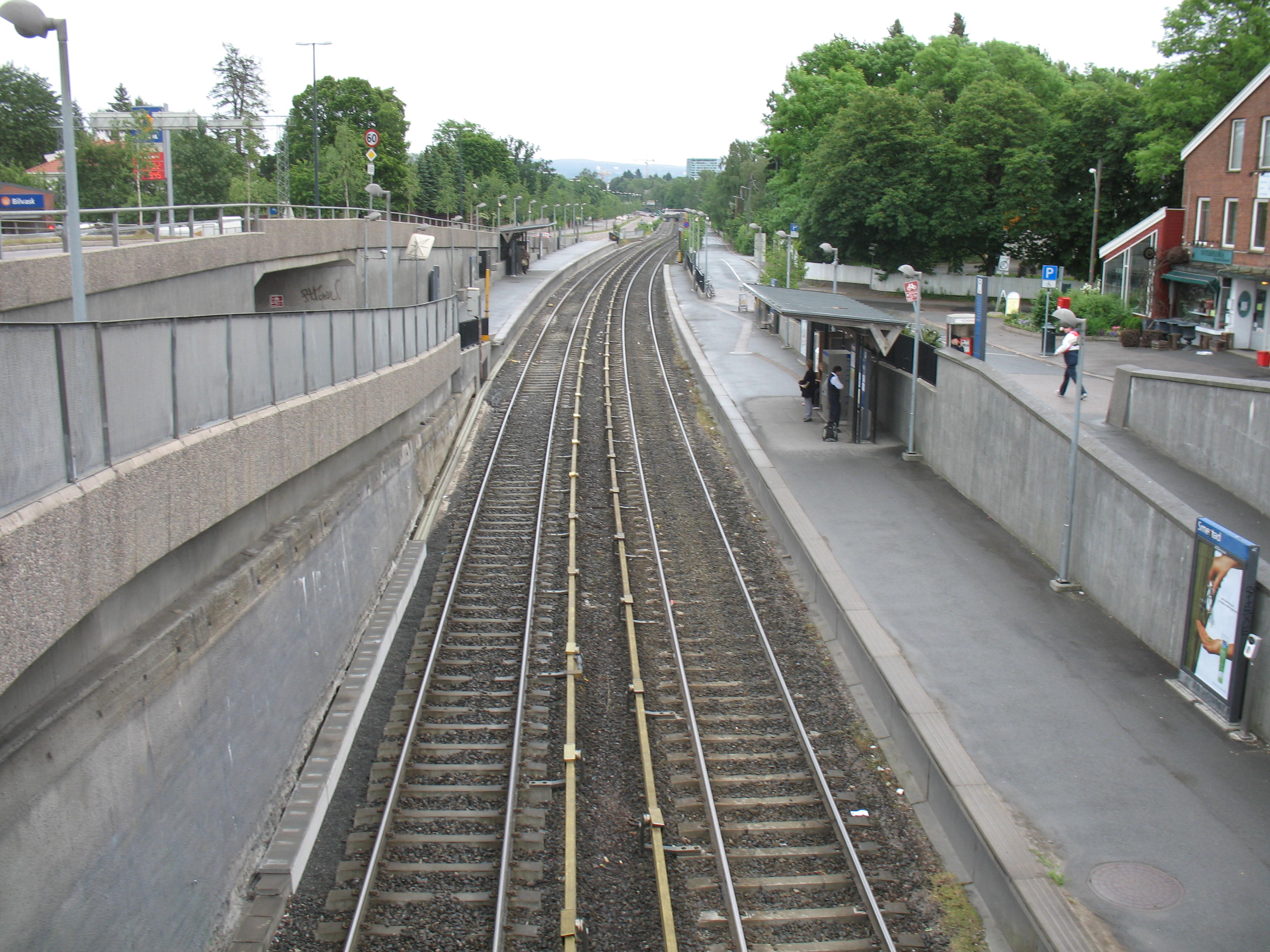
caption = Smedstad in June 2007
locale =Smestad
municipality =Oslo
line =Røa Line Kolsås Line
distance = 4.6 km
elevation = 63.7 m
coordinates = coord|59|56|14.2|N|10|41|0|E|display=title,inline|region:NO-03_scale:50000_type:railwaystation
start =November 17 1912
type = At-grade
line1 =
line2 = yes
line3 =
line4 =
line5 =
line6 = yes
train =
flytoget =
tram =
bus = 23 Lysaker–Simensbråten
41 Kolsås–Majorstuen|Smestad is a station shared by the
Røa Line (line 2) and theKolsås Line (line 6) on theOslo T-bane system. Although the two lines continue to share track some time after Smestad, passing the former station of Sørbyhaugen which was also shared, they diverge before passing another station. The next station to the west is Makrellbekken on Røabanen and the temporary station of Husebybakken on Kolsåsbanen. The next station to the east is Borgen. Smestad is located 4.6 km from Stortinget. [ [http://www.sporveien.no/templates/Page____1033.aspx Subway stations in the west] ]The station was originally the terminus of a
branch line toHolmenkollbanen which was built from Majorstuen and opened onNovember 17 1912 . The line was exteneded to Røa in 1935 while the connection to Kolsåsbanen opened in 1942. [ [http://www.sporveien.no/templates/Page____153.aspx Timeline of transit in Oslo] (in Norwegian), an English timeline is available at [http://www.urbanrail.net/eu/osl/oslo-metro-history.htm this site] ]The station is on the southeast side of the intersection Smestadkrysset which includes the outermost ring road (Ring 3) around Oslo and there are some bus-to-subway connections possible at this station.
References
* [http://maps.google.com/maps?f=q&hl=en&q=Oslo,+Norway&ie=UTF8&om=1&z=17&ll=59.93708,10.684746&spn=0.003413,0.011566&t=k&iwloc=addr Aerial photo of station] (Google Maps)
Oslo T-bane next
station = Smestad
line2 = yes
west2 = Makrellbekken
east2 = Borgen
westspan2 = 1
eastspan2 = 2
line6 = yes
west6 = Montebello
east6 =
westspan6 = 1
eastspan6 = |
Wikimedia Foundation. 2010.