- Népliget (Budapest Metro)
-
Népliget
Budapest Metro station
Station statistics Address Budapest
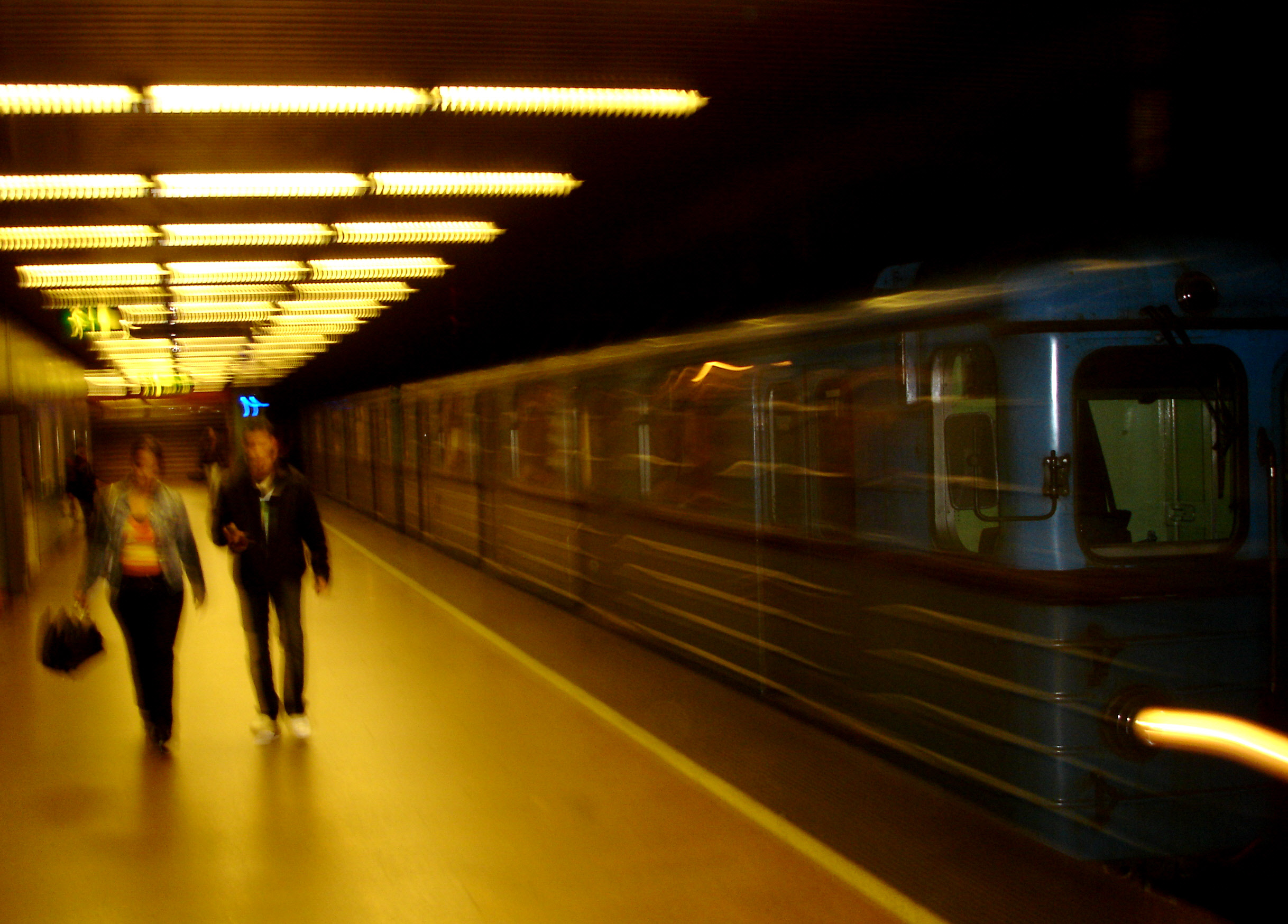
HungaryCoordinates 47°28′32″N 19°05′55″E / 47.4756°N 19.0986°ECoordinates: 47°28′32″N 19°05′55″E / 47.4756°N 19.0986°E Structure cut-and-cover underground Depth 7.61 m Platforms 2 side platforms Other information Opened 1980 Services Preceding station Budapest Metro Following station toward Kőbánya-KispestLine 3 toward Újpest-KözpontNépliget is a station on the M3 (North-South) line of the Budapest Metro, near the Népliget. Népliget is an important bus terminal for long distance and international buses traveling to Budapest. Also, the building was rebuilt in 2003.
Budapest Metro 


 Kőbánya-Kispest • Határ út • Pöttyös utca • Ecseri út • Népliget • Nagyvárad tér • Klinikák • Corvin-negyed • Kálvin tér • Ferenciek tere • Deák Ferenc tér • Arany János utca • Nyugati pályaudvar • Lehel tér • Dózsa György út • Árpád híd • Forgách utca • Gyöngyösi utca • Újpest-Városkapu • Újpest-Központ
 Under ConstructionKelenföldi pályaudvar • Tétényi út • Újbuda-Központ • Móricz Zsigmond körtér • Szent Gellért tér • Fővám tér • Kálvin tér • Rákóczi tér • Népszínház utca • Keleti pályaudvar
This Budapest Metro-related article is a stub. You can help Wikipedia by expanding it. This article about a Hungarian railway station is a stub. You can help Wikipedia by expanding it.