- Opoutere
-
Opoutere 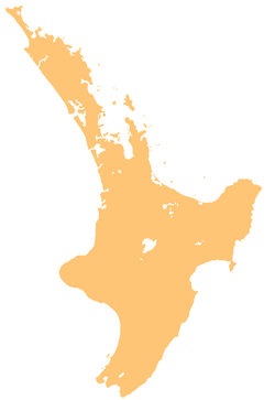
 Opoutere
Coordinates: 37°6′39″S 175°52′23″E / 37.11083°S 175.87306°E Country New Zealand Region Waikato District Thames-Coromandel District Opoutere is a locality and beach on the eastern side of the Coromandel Peninsula of New Zealand. It lies to the east of State Highway 25, south of Pauanui and north of Whangamata[1]. The Wharekawa Harbour lies to the south east.[2][3]
The name means "place of floating posts".[4]
Contents
History
The first known settlers of the area were the Ngāti Hei. They were supplanted by the Ngāti Hako in the mid 17th century, but Ngā Puhi raids during the Musket Wars of the early 19th century left the area without a permanent population.[5]
In the 1870s and 1880s, gold prospectors staked claims on quartz outcrops around the Wharekewa Harbour, resulting in half a dozen major gold strikes, and several mines being established in the 1890s. Kauri logging was underway in the 1890s too, and as it petered out, gum-diggers moved in. At the start of the 20th century, there was a settlement of about 50 people near the mouth of the harbour, with a store, a bakery and a post office. An Anglican church was built but was taken over by Ringatu worshippers. As the forest disappeared and the gum industry declined in the 1920s, the village also declined. By the late 1930s the shops had closed and the church had been abandoned. Farming and the planting of pines for the Tairua State Forest gradually healed the land.[6]
After World War II, a few families from Auckland and Hamilton built baches beside the harbour, and in the 1950s a holiday store and a camping ground opened. Three small subdivisions were established in the late 1960s and 1970s but the local community resisted further development during the 1980s.[7]
Education
Opoutere School is a coeducational full primary (years 1-8) school with a decile rating of 4 and a roll of 103.[8] A native school was first built in 1908, but the original school building later became a youth hostel.[9]
Notes
- ^ "Opoutere Travel Guide". Jasons Travel Media. http://www.jasons.co.nz/opoutere.
- ^ Peter Dowling (editor) (2004). Reed New Zealand Atlas. Reed Books. map 17. ISBN 0-7900-0952-8.
- ^ Roger Smith, GeographX (2005). The Geographic Atlas of New Zealand. Robbie Burton. map 45. ISBN 1-877333-20-4.
- ^ Michael King (1993). The Coromandel. p. 130. ISBN 0-908884-29-X.
- ^ King, p. 128
- ^ King, pp 129-130
- ^ King, pp 131-144
- ^ "Te Kete Ipurangi - Opoutere School". Ministry of Education. http://www.tki.org.nz/e/schools/display_school_info.php?school_id=1867.
- ^ King, p 70, 130
External links
Coordinates: 37°06′39″S 175°52′23″E / 37.11083°S 175.87306°E
Categories:- Thames-Coromandel District
- Populated places in New Zealand

Wikimedia Foundation. 2010.