Brown Hill Creek, South Australia
- Brown Hill Creek, South Australia
Infobox Australian Place | type = suburb
name = Brown Hill Creek
city = Adelaide
state = sa
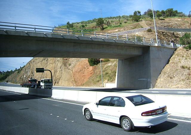
caption = Mt. Osmond Interchange. Brown Hill Creek extends 4 km to the south from the right of this photo.
lga = City of Mitcham
postcode = 5062
est =
pop = "No census data available"
area =
propval =
stategov =
fedgov =
near-nw =
near-n =
near-ne =
near-w =
near-e =
near-sw =
near-s =
near-se =
dist1 =
location1=
Brown Hill Creek is a south-eastern suburb of Adelaide in the City of Mitcham in South Australia.
Wikimedia Foundation.
2010.
Look at other dictionaries:
Brown Hill Creek — Brown Hill Creek, in South Australia, coord|34|59|S|138|39|E|region:AU SA, is one of several creeks (or streams) running in a generally west north west direction, draining the western watershed of the Mount Lofty Ranges.The area around the mouth… … Wikipedia
Brown Hill — or Brownhill may refer to numerous things: * Brown Hill, Victoria a suburb in Ballarat, Victoria, Australia. * Brown Hill Creek a river in Adelaide, South Australia. * Brown Hill, Mitcham a hill in Mitcham, South Australia. * Electoral district… … Wikipedia
South Australia — South Australian. a state in S Australia. 1,285,033; 380,070 sq. mi. (984,380 sq. km). Cap.: Adelaide. * * * State (pop., 2001: 1,514,854), south central Australia. It covers an area of 379,720 sq mi (983,470 sq km), and its capital is Adelaide.… … Universalium
Colonel Light Gardens, South Australia — Colonel Light Gardens Adelaide, South Australia Population: 3,237 (2006 census)[1] Postcode: 5041 … Wikipedia
Protected areas of South Australia — South Australia contains 324 separate Protected Areas with a total land area of 216,310 km² (21.97% of the state’s area). Eighteen of these areas are National parks, totalling 43,374 km² (4.41% of the state’s area). Contents 1 Protected … Wikipedia
List of postcodes in South Australia/numeric sort — Postcodes are used by Australia Post to identify postal districts in Australia. This list is sorted numerically to facilitate seeing which towns/suburbs share a postcode.5000s inner suburbs* 5000 Adelaide * 5001 GPO Boxes * 5005 University of… … Wikipedia
Mitcham, South Australia — Mitcham Adelaide, South Australia Population: 1,605 (2006 census)[1] Postcode: 5062 … Wikipedia
Coromandel Valley, South Australia — Coromandel Valley Adelaide, South Australia Population: 3,779 (2006 Census)[1] Postcode: 505 … Wikipedia
Torrens Park, South Australia — Infobox Australian Place | type = suburb name = Torrens Park city = Adelaide state = sa caption = lga = City of Mitcham postcode = 5062 est = 1945 pop = 2,440 (2006 census)Census 2006 AUS|id=SSC42706|name=Torrens Park (State… … Wikipedia
Craigburn Farm, South Australia — Craigburn Farm Adelaide, South Australia Population: 622 (2006 census) Established: 1999 Postcode … Wikipedia