- Lúčky, Ružomberok District
Geobox|Settlement
name = Lúčky
category = Village
etymology =
official_name =
motto =
nickname =
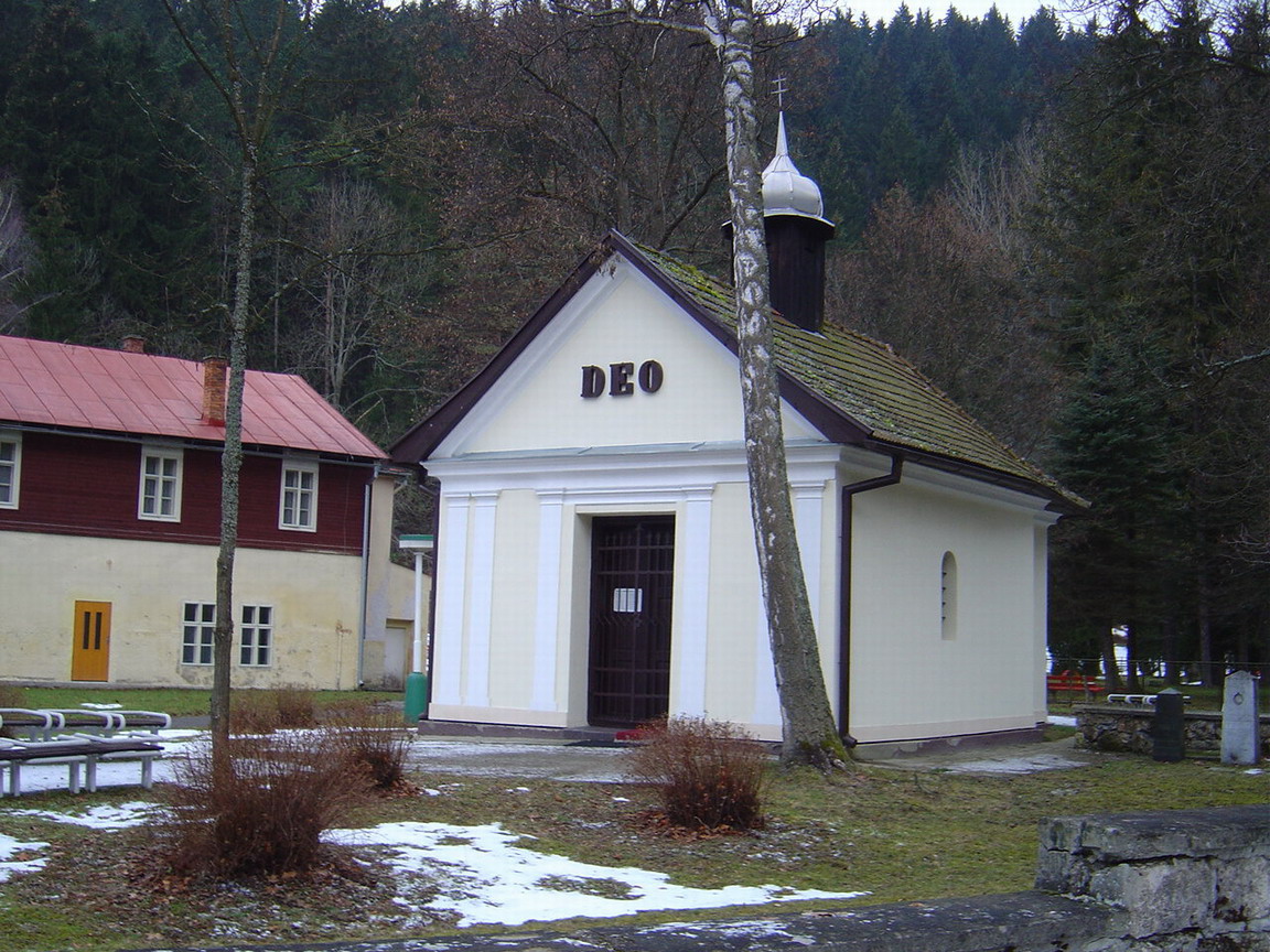
image_caption = A chapel in the village
symbol =
symbol_type =
country = Slovakia
country_
state =
region = Žilina
district = Ružomberok
municipality =
parent =
parent_type =
river =
location =
elevation = 596
prominence =
lat_d =49 | lat_m =7 | lat_s =20 | lat_NS =N
long_d =19 | long_m =24 | long_s =30 | long_EW =E
highest =
highest_location = | highest_region = | highest_state =
highest_elevation =
highest_lat_d = | highest_lat_m = | highest_lat_s = | highest_lat_NS =
highest_long_d = | highest_long_m = | highest_long_s = | highest_long_EW =
lowest =
lowest_location = | lowest_region = | lowest_state =
lowest_elevation =
lowest_lat_d = | lowest_lat_m = | lowest_lat_s = | lowest_lat_NS =
lowest_long_d = | lowest_long_m = | lowest_long_s = | lowest_long_EW =
length = | length_orientation =
width = | width_orientation =
area = 21.847
area_land =
area_water =
area_urban =
area_metro =
population =1748 | population_date =2006-12-31
population_urban =
population_metro =
population_density = 237
population_density_urban =
population_density_metro =
established =1233
established_type = First mentioned
date =
government =
government_location = | government_region = | government_state =
government_elevation =
government_lat_d = | government_lat_m = | government_lat_s = | government_lat_NS =
government_long_d = | government_long_m = | government_long_s = | government_long_EW =
mayor =
leader =
timezone =
map_caption = Location in Slovakia
map_background = Slovakia - background map.png
map1 = Žilina Region - outline map.svg
map1_caption = Location in the Žilina Region
map1_background = Žilina Region - background map.png
commons =
statistics = [http://www.statistics.sk/mosmis/eng/prvav2.jsp?txtUroven430508&lstObec510815&Okruhzaklad MOŠ/MIS]
website = http://www.obeclucky.sk/
footnotes =Lúčky is a
village andmunicipality inRužomberok District in theŽilina Region of northernSlovakia .History
In historical records the
village was first mentioned in 1287.Geography
The
municipality lies at analtitude of 598 metres and covers anarea of 21.847km². It has apopulation of about 1725 people.External links
* [http://www.obeclucky.sk Municipal website]


Wikimedia Foundation. 2010.