Podbranč

Podbranč

Geobox | Settlement
name = Podbranč
other_name =
category = Village


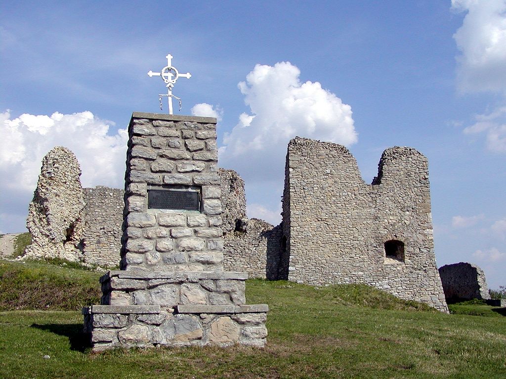
image_caption = Branč Castle above the village


symbol =
etymology =
official_name =
motto =
nickname =
country = Slovakia
country_

state =
region = Trnava
district = Senica
commune =
municipality =
part =
river =
location =
elevation = 420
lat_d = 48
lat_m = 44
lat_NS = N
long_d = 17
long_m = 28
long_EW = E
coordinates_type = region:SK_type:city
highest =
highest_elevation =
highest_lat_d =
highest_long_d =
lowest =
lowest_elevation =
lowest_lat_d =
lowest_long_d =
area = 14.137
area_round = 2
population = 645
population_date = 2004-12-31
population_density = auto
established = 1394
established_type = First mentioned
mayor =
timezone =
timezone_DST =
postal_code = 906 41
area_code = +421-34
code = SE
code_type = Car plate
free =


map_background = Slovakia - background map.png map_caption = Location of Podbranč in Slovakia
map_locator = Slovakia
map1 = Trnava Region - outline map.svg
map1_size = 160
map1_background = Trnava Region - background map.png map1_caption = Location of Podbranč in the Trnava Region
map1_locator = Trnava Region
commons =
statistics = [http://www.statistics.sk/mosmis/eng/prvav2.jsp?txtUroven420205&lstObec504653&Okruhzaklad MOŠ/MIS]
website = [http://www.podbranc.sk www.podbranc.sk]
footnotes =

Podbranč is a village and municipality in Senica District in the Trnava Region of western Slovakia.

History

In historical records the village was first mentioned in 1297.

Geography

The municipality lies at an altitude of 420 metres and covers an area of 14.137km². It has a population of about 645 people.

External links

*http://www.podbranc.sk


Wikimedia Foundation. 2010.

Игры ⚽ Нужен реферат?

Look at other dictionaries:

  • Podbranč — (Village) Administration Pays …   Wikipédia en Français

  • Trnava Region — Geobox | Region name = Trnava category = Region image caption = image caption = symbol = symbol type = etymology = official name = motto = nickname = country = Slovakia country state = region = district = commune = municipality = border = part… …   Wikipedia

  • Senica District —   District   Country Slovakia Region ( …   Wikipedia

  • List of municipalities and towns in Slovakia — Slovakia This is a comprehensive list of municipalities and towns in Slovakia. For lists of towns and municipalities sorted by Regions see the individual articles on Regions. For an outdated list of towns only in Slovakia see also List of towns… …   Wikipedia

  • Cerová — For other uses, see Cerova (disambiguation) Location of Senica District in the Trnava Region …   Wikipedia

  • Dojč — Location of Senica District in the Trnava Region Church in Doj …   Wikipedia

  • Moravský Svätý Ján — Coordinates: 48°35′00″N 17°01′00″E / 48.5833333°N 17.0166667°E / 48.5833333; 17.0166667 …   Wikipedia

  • Osuské — Location of Senica District in the Trnava Region Osuské is a village and municipality in Senica District in the Trnava Region of western Slovakia. There is a catholic church first mentioned in 1468 with an organ rebuilted in 1844. Osuské was well …   Wikipedia

  • Pieniny Klippen Belt — is tectonically, orographically significant zone of Western Carpathians, with very complicated geological structure. It is a narrow (only 0.4 to 19 km) and extremely long (about 600 km) north banded zone of extreme shortening, after subduction of …   Wikipedia

  • Borsky Mikulas — Borský Mikuláš Wappen Karte …   Deutsch Wikipedia

Share the article and excerpts

Direct link
Do a right-click on the link above
and select “Copy Link”