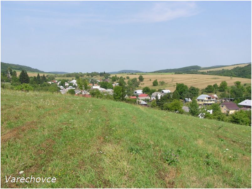
Varechovce

Varechovce

Geobox | Settlement
name = Varechovce
other_name =
category = Village


image_caption =


symbol =
etymology =
official_name =
motto =
nickname =
country = Slovakia
country_

state =
region = Prešov
district = Stropkov
commune =
municipality =
part =
river =
location =
elevation = 326
lat_d = 49
lat_m = 14
lat_NS = N
long_d = 21
long_m = 48
long_EW = E
coordinates_type = region:SK_type:city
highest =
highest_elevation =
highest_lat_d =
highest_long_d =
lowest =
lowest_elevation =
lowest_lat_d =
lowest_long_d =
area = 10.59
area_round = 2
population = 160
population_date = 2004-12-31
population_density = auto
established = 1430
established_type = First mentioned
mayor =
timezone =
timezone_DST =
postal_code = 090 23
area_code =
code = SP
code_type = Car plate
free =


map_background = Slovakia - background map.png map_caption = Location of Varechovce in Slovakia
map_locator = Slovakia
map1 = Prešov Region - outline map.svg
map1_background = Prešov Region - background map.png map1_caption = Location of Varechovce in the Prešov Region
map1_locator = Prešov Region
commons =
statistics = [http://www.statistics.sk/mosmis/eng/prvav2.jsp?txtUroven440711&lstObec527971&Okruhzaklad MOŠ/MIS]
website =
footnotes =

Varechovce is a village and municipality in Stropkov District in the Prešov Region of north-eastern Slovakia.

History

In historical records the village was first mentioned in 1430.

Geography

The municipality lies at an altitude of 326 metres and covers an area of 10.590 km². It has a population of about 160 people.


Wikimedia Foundation. 2010.

Игры ⚽ Поможем сделать НИР

Look at other dictionaries:

  • Varechovce — (Village) Administration Pays  Slovaquie …   Wikipédia en Français

  • Stropkov District —   District   Country Slovakia Region …   Wikipedia

  • Makovce — Coordinates: 49°16′N 21°45′E / 49.267°N 21.75°E / 49.267; 21.75 …   Wikipedia

  • Chotča — Location of Stropkov District in the Prešov Region. Chotča is a village and municipality in Stropkov District in the Prešov Region of north eastern Slovakia. History In historical records the village …   Wikipedia

  • Duplín — Location of Stropkov District in the Prešov Region. Duplín is a village and municipality in Stropkov District in the Prešov Region of north eastern Slovakia. History In historical records the village …   Wikipedia

  • Malá Poľana — Location of Stropkov District in the Prešov Region. Malá Poľana is a village and municipality in Stropkov District in the Prešov Region of north eastern Slovakia. History In historical records the villa …   Wikipedia

  • Miková — Location of Stropkov District in the Prešov Region. Miková or Mikó (település) in Hungarian, is a village and municipality in the former Eperjes County (http://hu.wikipedia.org/wiki/Eperjesi ker%C3%BClet) of the Kingdom of Hungary. The area was… …   Wikipedia

  • Nižná Olšava — Coordinates: 49°09′N 21°38′E / 49.15°N 21.633°E / 49.15; 21.633 …   Wikipedia

  • Miňovce — Coordinates: 49°08′N 21°39′E / 49.133°N 21.65°E / 49.133; 21.65 …   Wikipedia

  • Mrázovce — Coordinates: 49°07′N 21°41′E / 49.117°N 21.683°E / 49.117; 21.683 …   Wikipedia

Share the article and excerpts

Direct link
Do a right-click on the link above
and select “Copy Link”