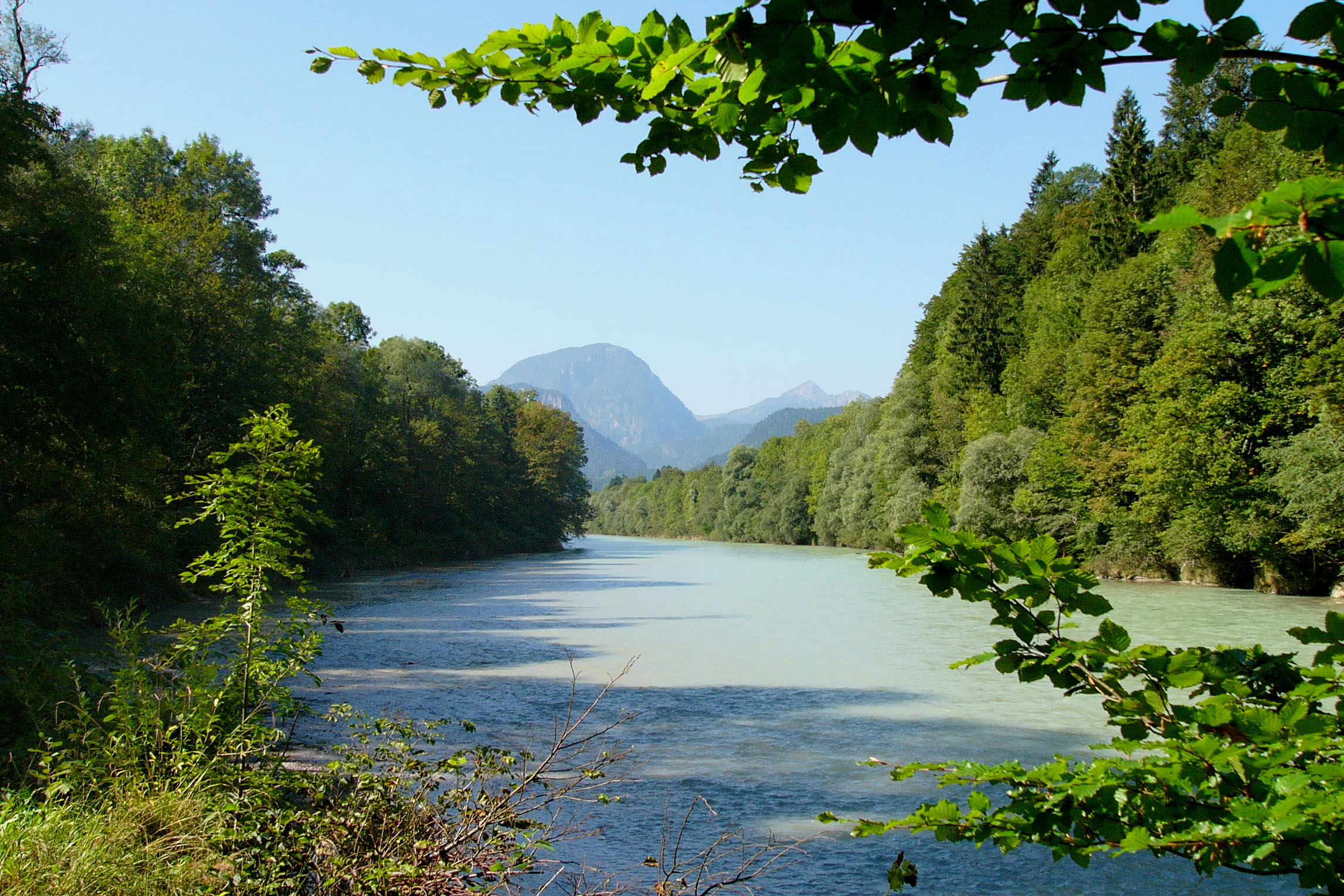
- Saalach
Infobox River
river_name = Saalach

caption = Saalach nearBad Reichenhall
origin =Kitzbühel Alps
mouth =Salzach
coord|47|51|13|N|13|0|5|E|display=inline,title
basin_countries =Austria ,Germany
length = 103 km
elevation = 2,178 m
discharge =
watershed = 1,043 km²The Saalach is a
river inAustria andGermany , left tributary of theSalzach . It has its spring at the south-eastern slopes of the Staffkogel, a Convert|2115|m|ft|0|abbr=on high peak of theKitzbühler Alpen . As a small creek it runs to the east through the ski-resort ofSaalbach-Hinterglemm until it bends north atMaishofen . It follows the broad valley toSaalfelden , and meanders further on through the narrow valley between the Leonganger and Loferer Steinberge and the Steinernes Meer toLofer in north-western direction. There it enters a narrow gorge, famous for its white water rafting. Crossing the border toBavaria (Germany ) atMelleck it flows along the northern slopes of theReiteralm known for its famous climbing routes. A short distance beforeBad Reichenhall , a dam of a hydro-electrical power plant collects the waters of the Saalachsee. The power plant provides the energy for the railway lineSalzburg ,Freilassing ,Bad Reichenhall toBerchtesgaden . Having passed Staufeneck, the Saalach leaves the mountains and enters the flat forests called Saalachau. FromPiding on north-eastwards the border to Austria follows the river for some 10 km to Freilassing at which northern community border it merges with the riverSalzach .The name has its origin from "Saal", an old form of Salz (salt), and "Ach" which denotes a small river.
References
Wikimedia Foundation. 2010.
