- Tatranská Javorina
Geobox | Settlement
name = Tatranská Javorina
other_name =
category = Village
image_caption =
symbol =
etymology = Slovak name ofmaple
official_name =
motto =
nickname =
country = Slovakia
country_
state =
region = Prešov
district = Poprad
municipality =
part =
river =
location =
elevation = 1000
lat_d = 49
lat_m = 16
lat_s = 0
lat_NS = N
long_d = 20
long_m = 8
long_s = 0
long_EW = E
coordinates_type = region:SK_type:city
highest =
highest_elevation =
highest_lat_d =
highest_long_d =
lowest =
lowest_elevation =
lowest_lat_d =
lowest_long_d =
area = 94.021
population = 230
population_date = 2005-12-31
population_density =
established =
mayor =
timezone =
timezone_DST =
postal_code = 059 56
area_code = +421-52
code = PP
code_type = Car plate
free =

map_background = Slovakia - background map.png
map_locator = Slovakia
map1 = Prešov Region - outline map.svg
map1_background = Prešov Region - background map.png
map1_locator = Prešov Region
commons = Tatranská Javorina
statistics = [http://www.statistics.sk/mosmis/eng/prvav2.jsp?txtUroven440706&lstObec580368&Okruhzaklad MOŠ/MIS]
website = [http://www.tjavorina.eu www.tjavorina.eu]
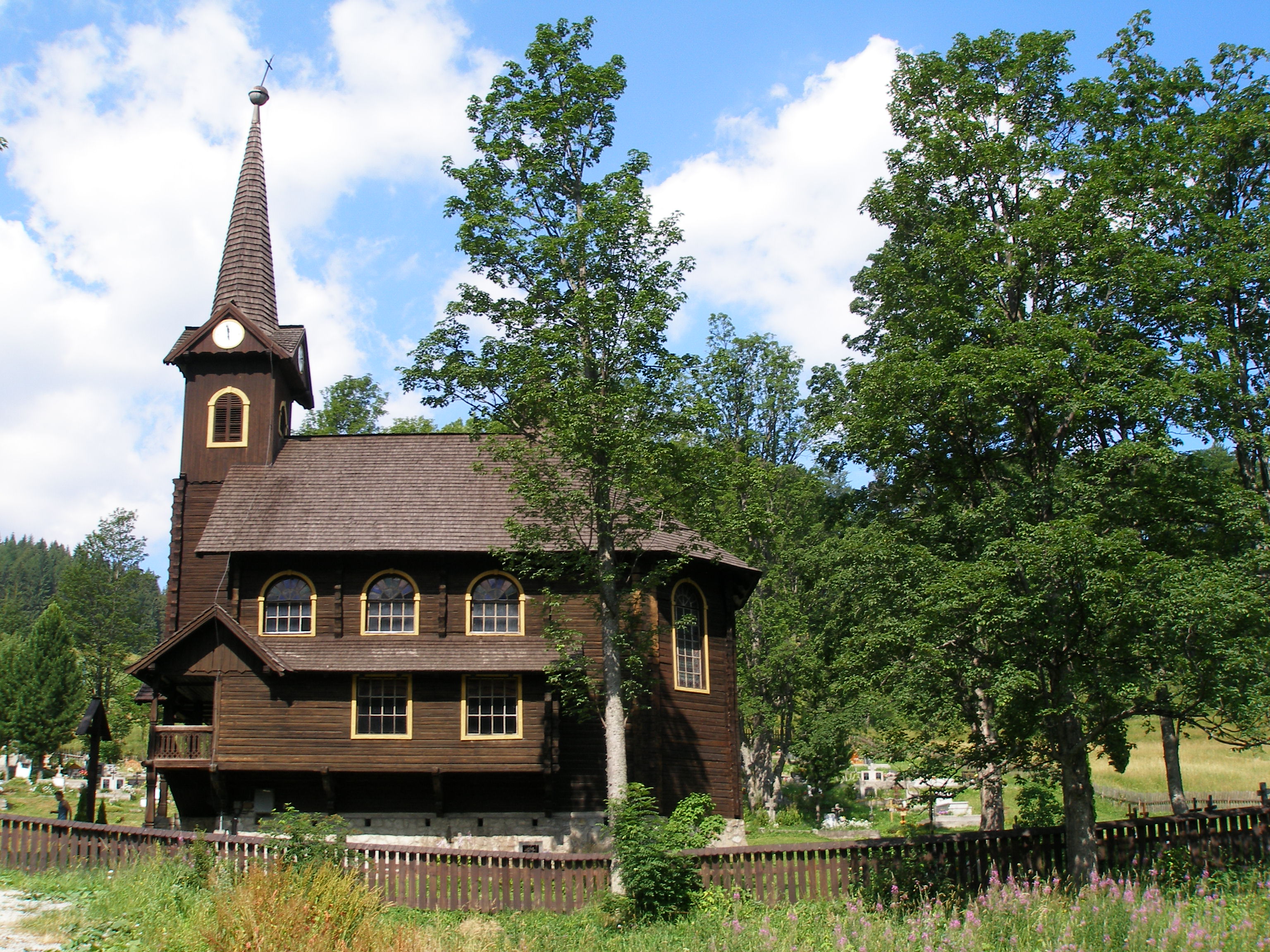
footnotes =Tatranská Javorina ( _hu. Javorina, _de. Uhrngarten, _pl. Jaworzyna Spiska) is a
village inPoprad District in thePrešov Region of northernSlovakia .History
The beginnings of the municipality are in the 18th century. The name of the village stems from the former
maple (Slovak: "javor") forests, after which some geographical objects were named (brook Javorinka, Javorová Valley andJavorový štít ). Between 1918 and 1921 Polish government several times wanted to make the village as well as adjacent Tatra valleys part of Poland, later on the Poles negotiated withCzechoslovakia about change of the border, but unsuccessfully. On November 1, 1938, after theMunich Agreement , Poland took control over the village. It was captured by the Slovaks in September of 1939 (see:Polish September Campaign ) and it has been part of Slovakia ever since.Geography
The
municipality lies at analtitude of 1000metres and covers anarea of 94.041km². It has apopulation of about 230 people.It is located by the Javorová Valley in theTatra Mountains at the Polish border.ee also
*
Polish-Czechoslovak border conflicts External links
*http://www.statistics.sk/mosmis/eng/run.html


Wikimedia Foundation. 2010.