- Truyère
Infobox River | river_name = Truyère
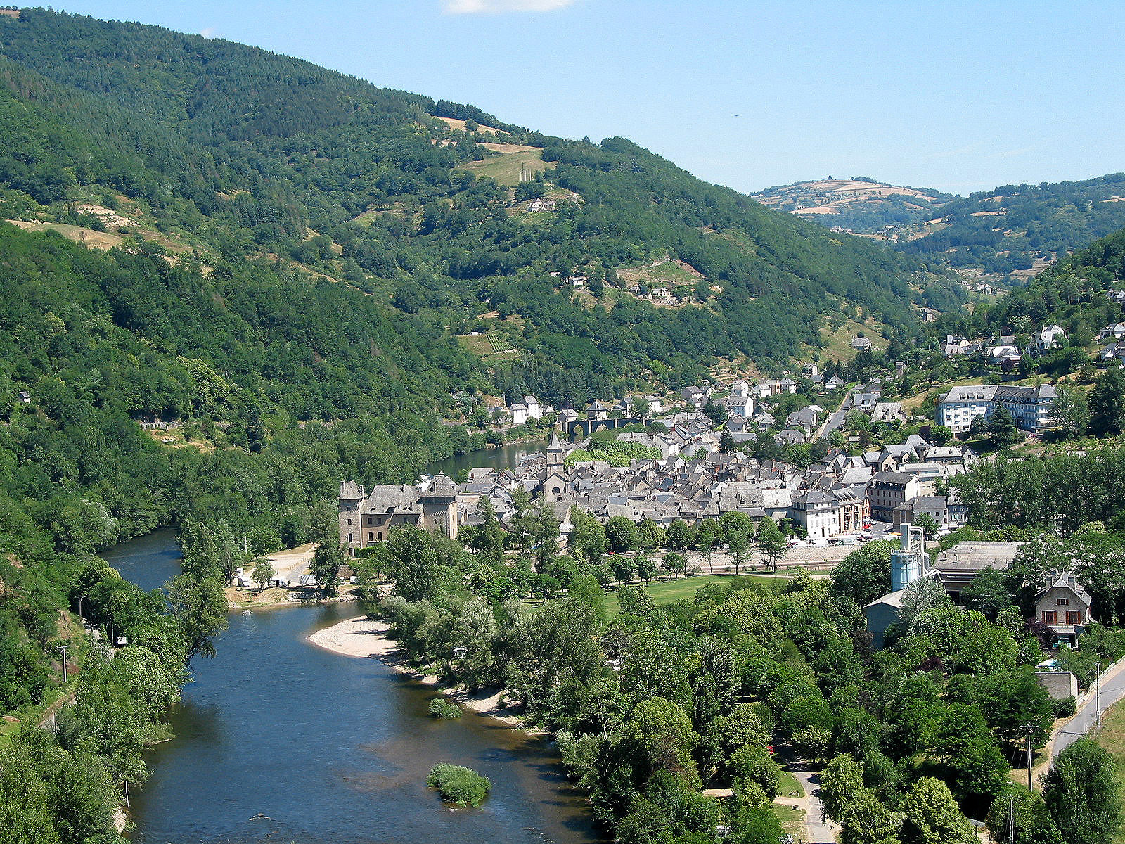
caption = The Truyère in Entraygues-sur-Truyère.
origin =Massif Central
mouth = Lot
coord|44|38|37|N|2|33|45|E|name=Lot-Truyère|display=inline,title
basin_countries =France
length = 167 km
elevation = 1,450 m
discharge = 60 m³/s
watershed = 3,300 km²The Truyère is a 167 km longriver in south-westernFrance , right tributary of theLot River . Its source is in the south-westernMassif Central , north ofMende . It flows generally west through the following "départements" and towns:*
Lozère :Le Malzieu-Ville
*Cantal
*Aveyron :Entraygues-sur-Truyère The Truyère flows into the
Lot River inEntraygues-sur-Truyère .References
*http://www.geoportail.fr
* [http://sandre.eaufrance.fr/app/chainage/courdo/htm/O7--0250.php?cg=O7--0250 The Truyère at the Sandre database]
Wikimedia Foundation. 2010.